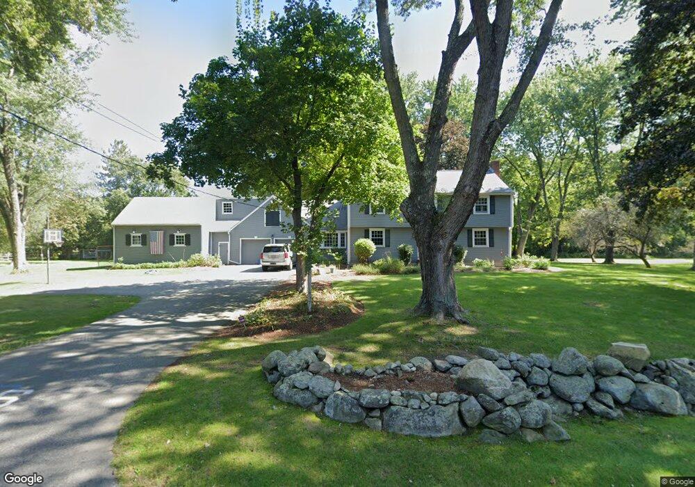
9 Ward Ln Sherborn, MA 01770
Estimated Value: $1,086,000 - $1,447,000
4
Beds
3
Baths
2,608
Sq Ft
$479/Sq Ft
Est. Value
About This Home
This home is located at 9 Ward Ln, Sherborn, MA 01770 and is currently estimated at $1,250,373, approximately $479 per square foot. 9 Ward Ln is a home located in Middlesex County with nearby schools including Pine Hill Elementary School, Dover-Sherborn Regional Middle School, and Dover-Sherborn Regional High School.
Ownership History
Date
Name
Owned For
Owner Type
Purchase Details
Closed on
May 31, 2007
Sold by
Flood Deborah B and Flood Roger D
Bought by
Abbett Keith A and Abbett Megan N
Current Estimated Value
Create a Home Valuation Report for This Property
The Home Valuation Report is an in-depth analysis detailing your home's value as well as a comparison with similar homes in the area
Home Values in the Area
Average Home Value in this Area
Purchase History
| Date | Buyer | Sale Price | Title Company |
|---|---|---|---|
| Abbett Keith A | $697,575 | -- |
Source: Public Records
Tax History
| Year | Tax Paid | Tax Assessment Tax Assessment Total Assessment is a certain percentage of the fair market value that is determined by local assessors to be the total taxable value of land and additions on the property. | Land | Improvement |
|---|---|---|---|---|
| 2025 | $16,892 | $1,018,800 | $470,400 | $548,400 |
| 2024 | $15,877 | $936,700 | $461,700 | $475,000 |
| 2023 | $14,788 | $821,100 | $461,700 | $359,400 |
| 2022 | $13,896 | $730,200 | $450,200 | $280,000 |
| 2021 | $6,911 | $709,600 | $450,200 | $259,400 |
| 2020 | $13,809 | $709,600 | $450,200 | $259,400 |
| 2019 | $13,860 | $706,400 | $450,200 | $256,200 |
| 2018 | $13,481 | $698,500 | $450,200 | $248,300 |
| 2017 | $13,598 | $664,600 | $444,400 | $220,200 |
| 2016 | $12,978 | $630,900 | $415,600 | $215,300 |
| 2015 | $12,629 | $621,500 | $404,000 | $217,500 |
| 2014 | $12,224 | $601,000 | $392,500 | $208,500 |
Source: Public Records
Map
Nearby Homes
- 76 Hollis St
- 29 Southfield Ln Unit 29
- 14 Fiske Pond Rd
- 3 Knollcrest Farm Ln
- 18 Northway St
- 121 Woodland St
- 147 Washington Street Lot 2
- 615 Mayflower Landing
- 53 Regal St
- 59 Russett Hill Rd
- 84 Old Orchard Rd
- 6 Skyview Terrace
- 16 Page Farm Rd
- 102 Washington St
- 59 Spywood Rd
- 44 Baker St
- 21 Spywood Rd
- 54 Spywood Rd
- 1 Danforth Dr
- 67 Mohawk Path
Your Personal Tour Guide
Ask me questions while you tour the home.