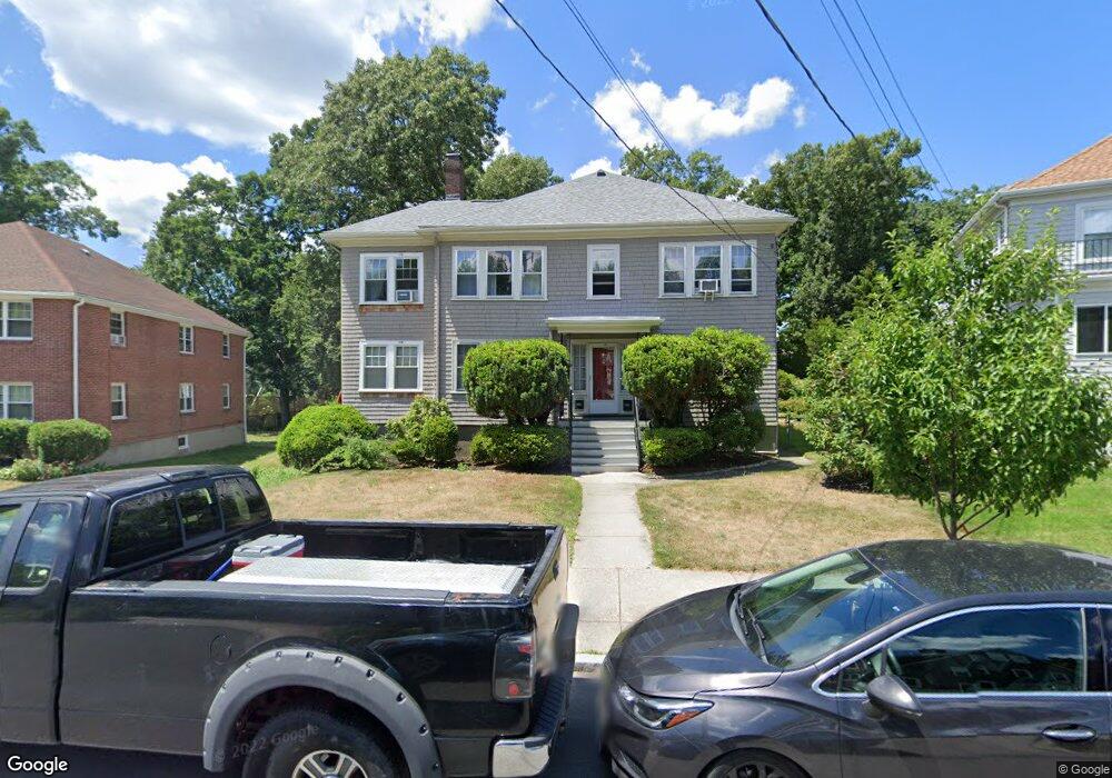
9 Westchester Rd Unit 11 Newton, MA 02458
Newtonville NeighborhoodEstimated Value: $1,420,000 - $1,859,000
4
Beds
2
Baths
3,032
Sq Ft
$541/Sq Ft
Est. Value
About This Home
This home is located at 9 Westchester Rd Unit 11, Newton, MA 02458 and is currently estimated at $1,641,488, approximately $541 per square foot. 9 Westchester Rd Unit 11 is a home located in Middlesex County with nearby schools including Cabot Elementary School, F.A. Day Middle School, and Newton North High School.
Ownership History
Date
Name
Owned For
Owner Type
Purchase Details
Closed on
Aug 29, 2013
Sold by
Grenoble Myko
Bought by
Makriyannis Alexandros
Current Estimated Value
Purchase Details
Closed on
Apr 1, 1988
Sold by
Singer Norman
Bought by
Makriyannis Alex
Home Financials for this Owner
Home Financials are based on the most recent Mortgage that was taken out on this home.
Original Mortgage
$280,800
Interest Rate
9.89%
Mortgage Type
Purchase Money Mortgage
Create a Home Valuation Report for This Property
The Home Valuation Report is an in-depth analysis detailing your home's value as well as a comparison with similar homes in the area
Home Values in the Area
Average Home Value in this Area
Purchase History
| Date | Buyer | Sale Price | Title Company |
|---|---|---|---|
| Makriyannis Alexandros | $68,000 | -- | |
| Makriyannis Alex | $351,000 | -- |
Source: Public Records
Mortgage History
| Date | Status | Borrower | Loan Amount |
|---|---|---|---|
| Previous Owner | Makriyannis Alex | $300,000 | |
| Previous Owner | Makriyannis Alex | $280,800 |
Source: Public Records
Tax History
| Year | Tax Paid | Tax Assessment Tax Assessment Total Assessment is a certain percentage of the fair market value that is determined by local assessors to be the total taxable value of land and additions on the property. | Land | Improvement |
|---|---|---|---|---|
| 2025 | $15,108 | $1,541,600 | $974,900 | $566,700 |
| 2024 | $14,608 | $1,496,700 | $946,500 | $550,200 |
| 2023 | $13,978 | $1,373,100 | $774,300 | $598,800 |
| 2022 | $13,375 | $1,271,400 | $716,900 | $554,500 |
| 2021 | $12,550 | $1,166,400 | $657,700 | $508,700 |
| 2020 | $12,177 | $1,166,400 | $657,700 | $508,700 |
| 2019 | $11,392 | $1,090,100 | $614,700 | $475,400 |
| 2018 | $11,244 | $1,039,200 | $576,300 | $462,900 |
| 2017 | $10,602 | $953,400 | $528,700 | $424,700 |
| 2016 | $9,954 | $874,700 | $485,000 | $389,700 |
| 2015 | $9,491 | $817,500 | $453,300 | $364,200 |
Source: Public Records
Map
Nearby Homes
- 47 Blake St Unit 47
- 55 Bridges Ave
- 5 Bonwood St Unit 5
- 298 Cabot St Unit 298
- 84 E Side Pkwy Unit 84
- 0 Claremont St
- 46 Converse Ave
- 84 Fairmont Ave
- 43 Claremont St
- 377 Walnut St
- 377 Walnut St Unit 1
- 3 Cedar St
- 103 Bellevue St Unit 4
- 5 Morseland Ave
- 31 George St
- 69 Clinton St
- 17 Lancaster Rd
- 549 Centre St Unit 2
- 911 Washington St Lowell Ave
- 524 Ward St
- 9 Westchester Rd Unit 1
- 5 Westcester Unit 2
- 5 Westchester Rd Unit 5
- 57 Westchester Rd
- 5 Westchester Rd Unit 1
- 15 Westchester Rd Unit 17
- 17 Westchester Rd
- 15 Westchester Rd Unit 15
- 20 Blake St
- 28 Blake St
- 26 Blake St
- 26 Blake St Unit 26
- 206-208 Cabot St
- 206 Cabot St Unit 2
- 206 Cabot St Unit 208
- 22 Blake St
- 14-16 Blake St Unit first floor
- 14 Blake St Unit 16
- 32 Blake St Unit 34
- 34 Blake St
Your Personal Tour Guide
Ask me questions while you tour the home.