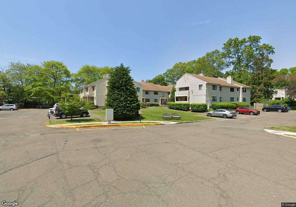
90 Lance Cir Bridgeport, CT 06606
North End NeighborhoodEstimated Value: $281,676 - $300,000
2
Beds
2
Baths
1,048
Sq Ft
$277/Sq Ft
Est. Value
About This Home
This home is located at 90 Lance Cir, Bridgeport, CT 06606 and is currently estimated at $290,419, approximately $277 per square foot. 90 Lance Cir is a home located in Fairfield County with nearby schools including John Winthrop School, Central High School, and St Andrew School.
Ownership History
Date
Name
Owned For
Owner Type
Purchase Details
Closed on
Nov 18, 2021
Sold by
Sandra L Meyer Irt and Meyer
Bought by
Rock Hall Gardens Llc
Current Estimated Value
Purchase Details
Closed on
Nov 18, 2014
Sold by
Meyer Sandra
Bought by
Sandra Meyer Irt
Purchase Details
Closed on
Oct 18, 2011
Sold by
Whitting John Est
Bought by
Meyer Sandra
Home Financials for this Owner
Home Financials are based on the most recent Mortgage that was taken out on this home.
Original Mortgage
$122,400
Interest Rate
4.25%
Purchase Details
Closed on
Sep 8, 2000
Sold by
Sipos Elizabeth I
Bought by
Whiting John and Whiting Maureen
Home Financials for this Owner
Home Financials are based on the most recent Mortgage that was taken out on this home.
Original Mortgage
$40,000
Interest Rate
8.1%
Create a Home Valuation Report for This Property
The Home Valuation Report is an in-depth analysis detailing your home's value as well as a comparison with similar homes in the area
Home Values in the Area
Average Home Value in this Area
Purchase History
| Date | Buyer | Sale Price | Title Company |
|---|---|---|---|
| Rock Hall Gardens Llc | $200,000 | None Available | |
| Sandra Meyer Irt | -- | -- | |
| Sandra Meyer Irt | -- | -- | |
| Meyer Sandra | $136,000 | -- | |
| Meyer Sandra | $136,000 | -- | |
| Whiting John | $123,000 | -- | |
| Whiting John | $123,000 | -- |
Source: Public Records
Mortgage History
| Date | Status | Borrower | Loan Amount |
|---|---|---|---|
| Previous Owner | Whiting John | $122,400 | |
| Previous Owner | Whiting John | $40,000 |
Source: Public Records
Tax History
| Year | Tax Paid | Tax Assessment Tax Assessment Total Assessment is a certain percentage of the fair market value that is determined by local assessors to be the total taxable value of land and additions on the property. | Land | Improvement |
|---|---|---|---|---|
| 2025 | $4,375 | $100,700 | $0 | $100,700 |
| 2024 | $4,375 | $100,700 | $0 | $100,700 |
| 2023 | $4,375 | $100,700 | $0 | $100,700 |
| 2022 | $4,375 | $100,700 | $0 | $100,700 |
| 2021 | $4,375 | $100,700 | $0 | $100,700 |
| 2020 | $4,515 | $83,620 | $0 | $83,620 |
| 2019 | $4,515 | $83,620 | $0 | $83,620 |
| 2018 | $4,546 | $83,620 | $0 | $83,620 |
| 2017 | $4,546 | $83,620 | $0 | $83,620 |
| 2016 | $4,546 | $83,620 | $0 | $83,620 |
| 2015 | $5,433 | $128,740 | $0 | $128,740 |
| 2014 | $5,433 | $128,740 | $0 | $128,740 |
Source: Public Records
Map
Nearby Homes
- 3432 Old Town Rd
- 105 Daniel Dr
- 170 Marilyn Dr
- 69 Seaver Cir
- 8 Raleigh Rd
- 3125 Old Town Rd
- 121 Campbell Rd
- 3795 & 3811 Old Town Rd
- 217 Macon Dr
- 20 Chatfield Dr
- 18 Ridgebury Dr
- 99 Quinsey Dr
- 40 Acton Rd
- 3370 Madison Ave Unit 10B
- 7 Fairview Ave
- 110 Minturn Rd
- 114 Minturn Place
- 472 Anton St
- 134 Killian Ave
- 5763 Park Ave
Your Personal Tour Guide
Ask me questions while you tour the home.