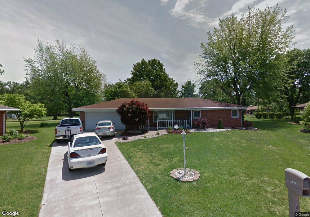
901 Robert Dr Godfrey, IL 62035
Estimated Value: $214,000 - $235,000
About This Home
This home is located at 901 Robert Dr, Godfrey, IL 62035 and is currently estimated at $225,359, approximately $196 per square foot. 901 Robert Dr is a home located in Madison County with nearby schools including North Elementary School, Alton Middle School, and Alton High School.
Ownership History
We collect this data history from publicly available records. To have your information removed, we recommend requesting removal directly through your county’s website.
Purchase Details
Home Financials for this Owner
Home Financials are based on the most recent Mortgage that was taken out on this home.Purchase Details
Home Values in the Area
Average Home Value in this Area
Purchase History
We collect this data history from publicly available records. To have your information removed, we recommend requesting removal directly through your county’s website.
| Date | Buyer | Sale Price | Title Company |
|---|---|---|---|
| $150,000 | Premier Title & Escrow Co | ||
| -- | -- |
Mortgage History
We collect this data history from publicly available records. To have your information removed, we recommend requesting removal directly through your county’s website.
| Date | Status | Borrower | Loan Amount |
|---|---|---|---|
| Open | $15,000 | ||
| Open | $120,000 |
Tax History
We collect this data history from publicly available records. To have your information removed, we recommend requesting removal directly through your county’s website.
| Year | Tax Paid | Tax Assessment Tax Assessment Total Assessment is a certain percentage of the fair market value that is determined by local assessors to be the total taxable value of land and additions on the property. | Land | Improvement |
|---|---|---|---|---|
| 2025 | $4,421 | $72,150 | $15,190 | $56,960 |
| 2024 | $4,143 | $67,450 | $14,200 | $53,250 |
| 2023 | $4,143 | $62,270 | $13,110 | $49,160 |
| 2022 | $3,925 | $56,950 | $11,990 | $44,960 |
| 2021 | $3,541 | $53,560 | $11,280 | $42,280 |
| 2020 | $3,469 | $52,410 | $11,040 | $41,370 |
| 2019 | $3,542 | $51,040 | $10,750 | $40,290 |
| 2018 | $3,482 | $48,860 | $10,290 | $38,570 |
| 2017 | $3,319 | $48,860 | $10,290 | $38,570 |
| 2016 | $3,224 | $48,860 | $10,290 | $38,570 |
| 2015 | $2,888 | $47,330 | $9,970 | $37,360 |
| 2014 | $2,888 | $47,330 | $9,970 | $37,360 |
| 2013 | $2,888 | $47,330 | $9,970 | $37,360 |
Map
- 806 Taylor Ave
- 907 Taylor Ave
- 1010 Robert Dr
- 0 Mae Dr Unit MIS26038084
- 0 Mae Dr Unit MIS26038078
- 0 Mae Dr Unit MIS26038083
- 607 Nicolet Dr
- 406 Celesta St Unit 91
- 5301 Deer Creek Ct
- 5703 Sir Gawain Dr
- 717 Crestwood Dr
- 3 Summerfield Ln
- 3215 Morkel Dr
- 00 Pine Ridge Lot#52 Dr
- 1403 Ryan Dr
- 5402 Woodland Meadows Dr
- 5404 Woodland Meadows Dr
- 4904 Paris Dr
- 5673 Humbert Rd
- 5667 Humbert Rd
Ask me questions while you tour the home.