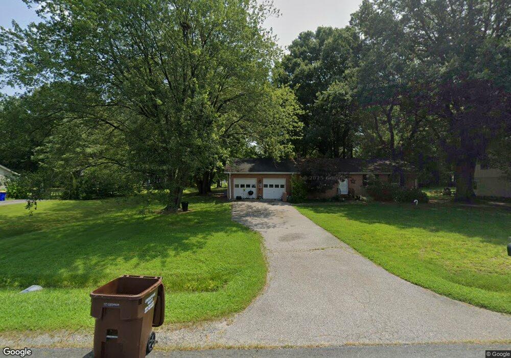
901 Worcester Dr Stevensville, MD 21666
Estimated Value: $455,000 - $517,000
About This Home
This home is located at 901 Worcester Dr, Stevensville, MD 21666 and is currently estimated at $487,226, approximately $270 per square foot. 901 Worcester Dr is a home located in Queen Anne's County with nearby schools including Matapeake Elementary School, Matapeake Middle School, and Kent Island High School.
Ownership History
We collect this data history from publicly available records. To have your information removed, we recommend requesting removal directly through your county’s website.
Purchase Details
Purchase Details
Purchase Details
Home Financials for this Owner
Home Financials are based on the most recent Mortgage that was taken out on this home.Home Values in the Area
Average Home Value in this Area
Purchase History
We collect this data history from publicly available records. To have your information removed, we recommend requesting removal directly through your county’s website.
| Date | Buyer | Sale Price | Title Company |
|---|---|---|---|
| -- | Newlyn Title Assurance Co In | ||
| $159,900 | -- | ||
| $116,000 | -- |
Mortgage History
We collect this data history from publicly available records. To have your information removed, we recommend requesting removal directly through your county’s website.
| Date | Status | Borrower | Loan Amount |
|---|---|---|---|
| Previous Owner | $90,000 |
Tax History
We collect this data history from publicly available records. To have your information removed, we recommend requesting removal directly through your county’s website.
| Year | Tax Paid | Tax Assessment Tax Assessment Total Assessment is a certain percentage of the fair market value that is determined by local assessors to be the total taxable value of land and additions on the property. | Land | Improvement |
|---|---|---|---|---|
| 2025 | $3,312 | $351,600 | $0 | $0 |
| 2024 | $3,054 | $324,200 | $0 | $0 |
| 2023 | $2,796 | $296,800 | $161,600 | $135,200 |
| 2022 | $2,753 | $292,233 | $0 | $0 |
| 2021 | $2,759 | $287,667 | $0 | $0 |
| 2020 | $2,715 | $283,100 | $161,600 | $121,500 |
| 2019 | $2,595 | $270,600 | $0 | $0 |
| 2018 | $2,475 | $258,100 | $0 | $0 |
| 2017 | $2,356 | $245,600 | $0 | $0 |
| 2016 | -- | $238,233 | $0 | $0 |
| 2015 | $2,938 | $230,867 | $0 | $0 |
| 2014 | $2,938 | $223,500 | $0 | $0 |
Map
- 702 Bayside Dr
- 412 Bay City Rd
- 121 Placek's Ln
- 109 Placek's Ln
- 101 Placek's Ln
- 120 Placek's Ln
- 323 Chenowith Dr
- 1029 Romancoke Rd
- 508 Paul Dr
- 515 Bayside Dr
- 604 Broadcreek Dr
- 802 Broadcreek Dr
- 504 Victoria Dr
- 102 Little Neck Rd
- 306 Irene Way
- 421 Victoria Way
- 521 Moorings Cir Unit 245
- 364 Moorings Cir Unit 100
- 324 Moorings Cir Unit 108
- 352 Topside Dr Unit 229
- 903 Worcester Dr
- 0 Worcester Dr
- 905 Worcester Dr
- 815 Worcester Dr
- 900 Buckingham Dr
- 902 Buckingham Dr
- 907 Worcester Dr
- 902 Worcester Dr
- 814 Buckingham Dr
- 904 Buckingham Dr
- 813 Worcester Dr
- 904 Worcester Dr
- 906 Worcester Dr
- 814 Worcester Dr
- 909 Worcester Dr
- 906 Buckingham Dr
- 811 Worcester Dr
- 908 Worcester Dr
- 812 Buckingham Dr
- 812 Worcester Dr
Ask me questions while you tour the home.