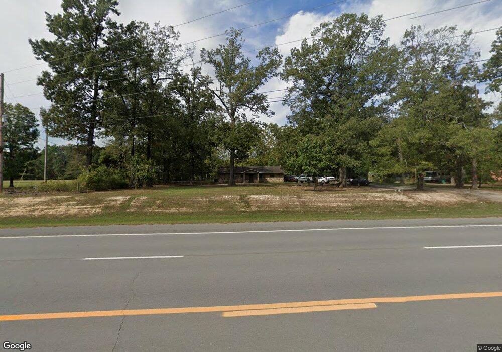
9012 Us Highway 63 Pine Bluff, AR 71603
Estimated Value: $169,000 - $305,000
3
Beds
2
Baths
1,997
Sq Ft
$114/Sq Ft
Est. Value
About This Home
This home is located at 9012 Us Highway 63, Pine Bluff, AR 71603 and is currently estimated at $228,120, approximately $114 per square foot. 9012 Us Highway 63 is a home located in Jefferson County with nearby schools including Matthews Elementary School, Dollarway High School, and Friendship Aspire Academy Southeast Pine Bluff High School.
Ownership History
Date
Name
Owned For
Owner Type
Purchase Details
Closed on
Dec 26, 2018
Bought by
Smith Christopher
Current Estimated Value
Purchase Details
Closed on
Mar 22, 2010
Sold by
Moyers Mary Katherine
Bought by
Hadley Shyrome
Home Financials for this Owner
Home Financials are based on the most recent Mortgage that was taken out on this home.
Original Mortgage
$141,745
Interest Rate
5%
Purchase Details
Closed on
Jan 1, 1910
Bought by
Moyers Robert E
Create a Home Valuation Report for This Property
The Home Valuation Report is an in-depth analysis detailing your home's value as well as a comparison with similar homes in the area
Purchase History
| Date | Buyer | Sale Price | Title Company |
|---|---|---|---|
| Smith Christopher | $69,000 | -- | |
| Hadley Shyrome | -- | Lenders Title Company, 1719 | |
| Moyers Robert E | -- | -- |
Source: Public Records
Mortgage History
| Date | Status | Borrower | Loan Amount |
|---|---|---|---|
| Previous Owner | Moyers Robert E | $360,000 | |
| Previous Owner | Hadley Shyrome | $141,745 |
Source: Public Records
Tax History
| Year | Tax Paid | Tax Assessment Tax Assessment Total Assessment is a certain percentage of the fair market value that is determined by local assessors to be the total taxable value of land and additions on the property. | Land | Improvement |
|---|---|---|---|---|
| 2025 | $1,762 | $32,320 | $3,680 | $28,640 |
| 2024 | $1,626 | $32,320 | $3,680 | $28,640 |
| 2023 | $1,491 | $32,320 | $3,680 | $28,640 |
| 2022 | $1,213 | $23,630 | $3,840 | $19,790 |
| 2021 | $1,213 | $23,630 | $3,840 | $19,790 |
| 2020 | $1,213 | $23,630 | $3,840 | $19,790 |
| 2019 | $1,213 | $23,630 | $3,840 | $19,790 |
| 2018 | $1,213 | $23,630 | $3,840 | $19,790 |
| 2017 | $830 | $22,980 | $3,840 | $19,140 |
| 2016 | $830 | $22,980 | $3,840 | $19,140 |
| 2015 | $824 | $22,980 | $3,840 | $19,140 |
| 2014 | -- | $22,980 | $3,840 | $19,140 |
Source: Public Records
Map
Nearby Homes
- 190 Peregrine Dr
- 210 Sherry Ln
- 309 Ritchwood Dr
- 1507 Dixon Ln
- 1003 Fairway Dr
- 5 Par Ln
- 000 Gibb Anderson Rd
- 000 Gibb Anderson Rd Unit LotWP001
- 10 Deer Horn Cove
- 000 Middle Warren Rd
- 2205 Foxborough Cove
- 3114 Bugle Dr
- 6 Summerset Place
- 1501 Blackhawk Ridge Ln
- 1503 Silver Fox Ln
- 6009 S Cedar St
- 0 Brinkley Rd
- 2105 Monticello Ct
- 2203 Cherry Ridge Dr
- 5903 Hampton Pkwy
- 9012 Us Highway 63
- 9108 Us Highway 63
- 9000 Us Highway 63
- 9008 Us Highway 63
- 9003 Us Highway 63
- 9107 Us Highway 63
- 8907 S Pleasant Dr
- S Pleasant
- 101 Country Place
- 9017 S Pleasant Dr
- 9340 Us Highway 63
- 100 Country Place
- 8822 Us Highway 63
- 9020 S Pleasant Dr
- 201 Country Place
- 900 W Pleasant Dr
- 8921 Us Highway 63
- 9309 Us Highway 63
- 9309 Hwy 63 S
- 104 Country Place
Your Personal Tour Guide
Ask me questions while you tour the home.