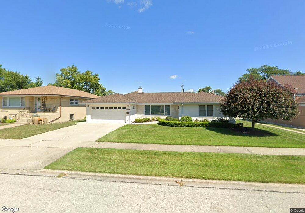
9018 29th St Brookfield, IL 60513
Estimated Value: $440,115 - $508,000
4
Beds
3
Baths
2,698
Sq Ft
$171/Sq Ft
Est. Value
About This Home
This home is located at 9018 29th St, Brookfield, IL 60513 and is currently estimated at $460,279, approximately $170 per square foot. 9018 29th St is a home located in Cook County with nearby schools including S. E. Gross Middle School, Brook Park Elementary School, and Riverside Brookfield High School.
Ownership History
Date
Name
Owned For
Owner Type
Purchase Details
Closed on
Dec 15, 2025
Sold by
Corgiat Jeffrey and Corgiat Angela
Bought by
Jeffrey T Corgiat And Angela C Corgiat Living and Corgiat
Current Estimated Value
Purchase Details
Closed on
Feb 19, 2009
Sold by
Corgiat Jeffrey
Bought by
Corgiat Jeffrey and Corgiat Angela
Purchase Details
Closed on
Dec 27, 2005
Sold by
Chicago Title Land Trust Co
Bought by
Corgiat Jeffrey
Purchase Details
Closed on
May 26, 1994
Sold by
Curcija Nikola and Curcija Jelka
Bought by
Smith Amelia M
Create a Home Valuation Report for This Property
The Home Valuation Report is an in-depth analysis detailing your home's value as well as a comparison with similar homes in the area
Home Values in the Area
Average Home Value in this Area
Purchase History
We collect this data history from publicly available records. To have your information removed, we recommend requesting removal directly through your county’s website.
| Date | Buyer | Sale Price | Title Company |
|---|---|---|---|
| Jeffrey T Corgiat And Angela C Corgiat Living | -- | None Listed On Document | |
| Corgiat Jeffrey | -- | None Available | |
| Corgiat Jeffrey | -- | Attorneys Title Guaranty Fun | |
| Smith Amelia M | $165,000 | Land Title Group Inc |
Source: Public Records
Tax History
| Year | Tax Paid | Tax Assessment Tax Assessment Total Assessment is a certain percentage of the fair market value that is determined by local assessors to be the total taxable value of land and additions on the property. | Land | Improvement |
|---|---|---|---|---|
| 2025 | $6,686 | $20,384 | $3,259 | $17,125 |
| 2024 | $6,686 | $20,384 | $3,259 | $17,125 |
| 2023 | $6,547 | $20,384 | $3,259 | $17,125 |
| 2022 | $6,547 | $17,423 | $2,793 | $14,630 |
| 2021 | $6,370 | $17,423 | $2,793 | $14,630 |
| 2020 | $6,250 | $17,423 | $2,793 | $14,630 |
| 2019 | $6,753 | $18,840 | $2,560 | $16,280 |
| 2018 | $6,483 | $18,840 | $2,560 | $16,280 |
| 2017 | $5,987 | $18,840 | $2,560 | $16,280 |
| 2016 | $5,377 | $15,694 | $2,327 | $13,367 |
| 2015 | $5,146 | $15,694 | $2,327 | $13,367 |
| 2014 | $5,081 | $15,694 | $2,327 | $13,367 |
| 2013 | $4,675 | $15,509 | $2,327 | $13,182 |
Source: Public Records
Map
Nearby Homes
- 9101 27th St
- 2711 Maple Ave
- 9135 26th Place
- 9120 26th Place
- 3108 Oak Ave
- 1106 Alima Terrace
- 3147 Sunnyside Ave
- 3229 Maple Ave
- 3233 Madison Ave
- 2322 S 17th Ave Unit 5
- 2536 S 5th Ave
- 3335 Sunnyside Ave
- 2263 S 14th Ave
- 2263 S 17th Ave
- 2233 S 14th Ave
- 1434 Blanchan Ave
- 9333 Jackson Ave
- 3147 Cleveland Ave
- 1511 Kemman Ave
- 3321 Harrison Ave
Your Personal Tour Guide
Ask me questions while you tour the home.