9029 River Path Rd Lewisville, NC 27023
Estimated Value: $789,000 - $980,575
8
Beds
6
Baths
5,772
Sq Ft
$150/Sq Ft
Est. Value
About This Home
This home is located at 9029 River Path Rd, Lewisville, NC 27023 and is currently estimated at $863,144, approximately $149 per square foot. 9029 River Path Rd is a home located in Forsyth County with nearby schools including Lewisville Elementary School, Meadowlark Middle School, and West Forsyth High.
Ownership History
Date
Name
Owned For
Owner Type
Purchase Details
Closed on
Dec 4, 2020
Sold by
Kelly Denise P and Denise P Kelly Revocable Trust
Bought by
Pickett Herman Newton and Pickett London Lake
Current Estimated Value
Purchase Details
Closed on
Jan 22, 2013
Sold by
Kelly Denise P and Denise P Kelly Revocable Trust
Bought by
Kelly Denise P
Home Financials for this Owner
Home Financials are based on the most recent Mortgage that was taken out on this home.
Original Mortgage
$290,000
Interest Rate
3.38%
Mortgage Type
New Conventional
Purchase Details
Closed on
Aug 10, 2006
Sold by
Kelly Denise P
Bought by
Kelly Denise P and Denise P Kelly Revocable Trust
Create a Home Valuation Report for This Property
The Home Valuation Report is an in-depth analysis detailing your home's value as well as a comparison with similar homes in the area
Purchase History
| Date | Buyer | Sale Price | Title Company |
|---|---|---|---|
| Pickett Herman Newton | $510,000 | None Available | |
| Pickett Herman Newton | $510,000 | Calaway Clint | |
| Kelly Denise P | -- | None Available | |
| Kelly Denise P | -- | None Available |
Source: Public Records
Mortgage History
| Date | Status | Borrower | Loan Amount |
|---|---|---|---|
| Previous Owner | Kelly Denise P | $290,000 |
Source: Public Records
Tax History
| Year | Tax Paid | Tax Assessment Tax Assessment Total Assessment is a certain percentage of the fair market value that is determined by local assessors to be the total taxable value of land and additions on the property. | Land | Improvement |
|---|---|---|---|---|
| 2025 | $3,816 | $950,800 | $203,800 | $747,000 |
| 2024 | $3,791 | $494,500 | $131,100 | $363,400 |
| 2023 | $3,791 | $494,500 | $131,100 | $363,400 |
| 2022 | $3,791 | $494,500 | $131,100 | $363,400 |
| 2021 | $3,767 | $494,500 | $131,100 | $363,400 |
| 2020 | $3,842 | $462,500 | $132,900 | $329,600 |
| 2019 | $3,889 | $462,500 | $132,900 | $329,600 |
| 2018 | $3,733 | $462,500 | $132,900 | $329,600 |
| 2016 | $3,876 | $477,887 | $157,001 | $320,886 |
Source: Public Records
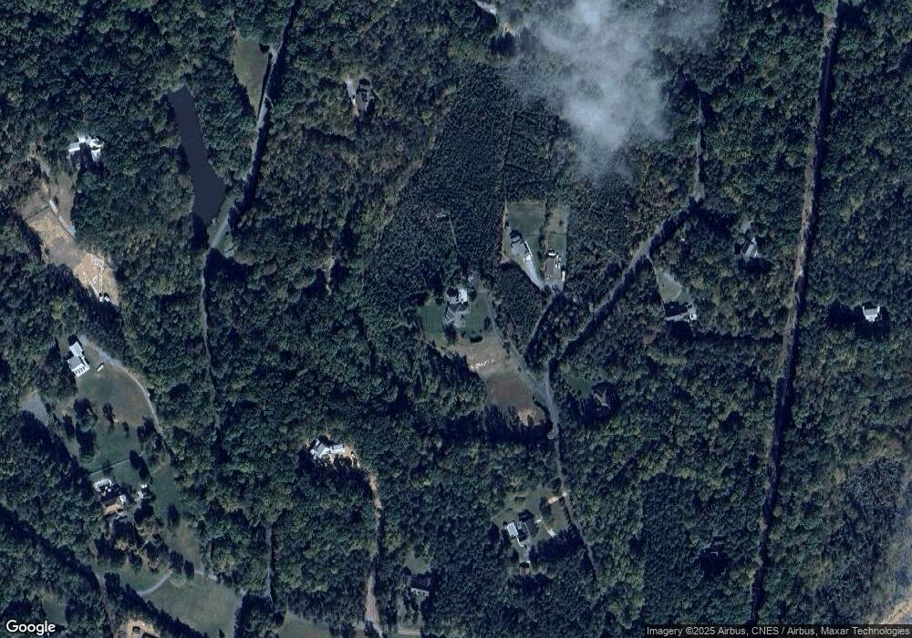
Map
Nearby Homes
- 0 Scott Rd
- 0 Dalton Rd
- 8265 Shallowford Rd
- 160 Nanzetta Way
- 5131 Riverwest Rd
- 834 Montrachet Ct
- 937 Montrachet Ct
- 814 Montrachet Ct
- 0 Greenfield Estates Dr
- 9664 Lissara Camp Ct
- 9631 Lissara Camp Ct
- 9658 Lissara Camp Ct
- 9652 Lissara Camp Ct
- 9687 Lissara Camp Ct
- 9447 Lissara Camp Ct
- 600 Hauser Rd
- 1216 Creek Knoll Dr
- 1282 Creek Knoll Dr
- 1222 Creek Knoll Dr
- 1306 Creek Knoll Dr
- 9037 River Path Rd
- 0 River Path Rd
- 764 Scott Rd
- 9006 River Path Rd
- 9008 River Path Rd
- 9001 River Path Rd
- 5105 River Rd
- 766 Scott Rd
- 605 Scott Rd
- 01 Scott Rd
- 9050 River Path Rd
- 9010 River Path Rd
- 9070 River Path Rd
- 780 Scott Rd
- 00 Scott Rd
- 000 Scott Rd
- 535 Five Oaks Dr
- 600 Scott Rd
- 9079 River Path Rd
- 790 Scott Rd
Your Personal Tour Guide
Ask me questions while you tour the home.