Estimated Value: $165,241 - $249,000
About This Home
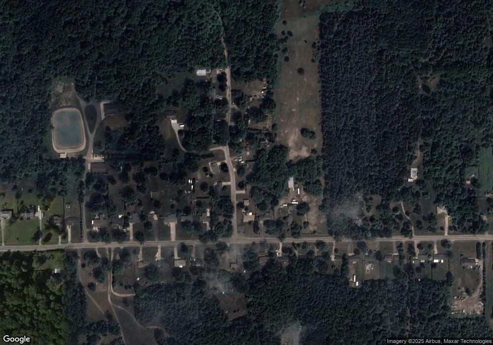
This home is located at 9038 Forrest Pine Dr, Clio, MI 48420 and is currently estimated at $215,810, approximately $207 per square foot. 9038 Forrest Pine Dr is a home located in Genesee County with nearby schools including George R. Carter Middle School and Clio Area High School.
Ownership History
We collect this data history from publicly available records. To have your information removed, we recommend requesting removal directly through your county’s website.
Purchase Details
Purchase Details
Purchase Details
Purchase Details
Home Financials for this Owner
Home Financials are based on the most recent Mortgage that was taken out on this home.Home Values in the Area
Average Home Value in this Area
Purchase History
We collect this data history from publicly available records. To have your information removed, we recommend requesting removal directly through your county’s website.
| Date | Buyer | Sale Price | Title Company |
|---|---|---|---|
| -- | None Listed On Document | ||
| -- | None Available | ||
| -- | None Available | ||
| -- | Title Source Inc |
Mortgage History
We collect this data history from publicly available records. To have your information removed, we recommend requesting removal directly through your county’s website.
| Date | Status | Borrower | Loan Amount |
|---|---|---|---|
| Previous Owner | $79,500 |
Tax History
We collect this data history from publicly available records. To have your information removed, we recommend requesting removal directly through your county’s website.
| Year | Tax Paid | Tax Assessment Tax Assessment Total Assessment is a certain percentage of the fair market value that is determined by local assessors to be the total taxable value of land and additions on the property. | Land | Improvement |
|---|---|---|---|---|
| 2025 | $742 | $77,200 | $0 | $0 |
| 2024 | $1,147 | $73,800 | $0 | $0 |
| 2023 | $1,093 | $70,700 | $0 | $0 |
| 2022 | $1,961 | $66,000 | $0 | $0 |
| 2021 | $1,557 | $59,700 | $0 | $0 |
| 2020 | $631 | $57,000 | $0 | $0 |
| 2019 | $575 | $50,200 | $0 | $0 |
| 2018 | $2,069 | $49,100 | $0 | $0 |
| 2017 | $2,007 | $49,100 | $0 | $0 |
| 2016 | $1,993 | $41,500 | $0 | $0 |
| 2015 | $1,318 | $39,900 | $0 | $0 |
| 2012 | -- | $37,600 | $37,600 | $0 |
Map
- 5493 W Frances Rd
- 7077 Frances Rd
- 0 N Webster Rd
- 8455 Ilene Dr
- 5272 W Frances Rd
- 6300 Tommy Trail
- 8104 N Webster Rd
- 6270 Tommy Trail
- 6208 W Mount Morris Rd
- 5090 W Frances Rd
- 8083 Flintlock Rd
- 9270 Morrish Rd
- 8171 N Linden Rd
- 8166 N Linden Rd
- 6339 W Wilson Rd
- 7410 Wilson Rd
- 5012 W Stanley Rd
- 6453 Johnson Rd
- 4500 W Wilson Rd
- 11290 N Linden Rd
- 9048 Forrest Pine Dr
- 9026 Forrest Pine Dr
- 9062 Forrest Pine Dr
- 6270 W Frances Rd
- 6260 W Frances Rd
- 9043 Forrest Pine Dr
- 9027 Forrest Pine Dr
- 9072 Forrest Pine Dr
- 6290 W Frances Rd
- 9063 Forrest Pine Dr
- 6305 W Frances Rd
- 6300 W Frances Rd
- 9073 Forrest Pine Dr
- 6310 W Frances Rd
- 9080 Forrest Pine Dr
- 6315 W Frances Rd
- 9087 Forrest Pine Dr
- 6320 W Frances Rd
- 9053 Forrest Pine Dr
- 6325 W Frances Rd
Ask me questions while you tour the home.