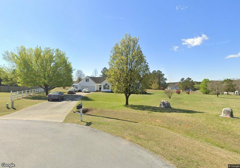
904 Colt Cir Clayton, NC 27520
Estimated Value: $433,000 - $525,000
About This Home
This home is located at 904 Colt Cir, Clayton, NC 27520 and is currently estimated at $469,097, approximately $177 per square foot. 904 Colt Cir is a home located in Johnston County with nearby schools including Cleveland Elementary School, Cleveland Middle School, and Cleveland High School.
Ownership History
We collect this data history from publicly available records. To have your information removed, we recommend requesting removal directly through your county’s website.
Purchase Details
Home Financials for this Owner
Home Financials are based on the most recent Mortgage that was taken out on this home.Home Values in the Area
Average Home Value in this Area
Purchase History
We collect this data history from publicly available records. To have your information removed, we recommend requesting removal directly through your county’s website.
| Date | Buyer | Sale Price | Title Company |
|---|---|---|---|
| $242,000 | None Available |
Mortgage History
We collect this data history from publicly available records. To have your information removed, we recommend requesting removal directly through your county’s website.
| Date | Status | Borrower | Loan Amount |
|---|---|---|---|
| Open | $234,449 |
Tax History
We collect this data history from publicly available records. To have your information removed, we recommend requesting removal directly through your county’s website.
| Year | Tax Paid | Tax Assessment Tax Assessment Total Assessment is a certain percentage of the fair market value that is determined by local assessors to be the total taxable value of land and additions on the property. | Land | Improvement |
|---|---|---|---|---|
| 2025 | $2,442 | $384,530 | $64,430 | $320,100 |
| 2024 | $2,194 | $270,870 | $64,430 | $206,440 |
| 2023 | $2,120 | $270,870 | $64,430 | $206,440 |
| 2022 | $2,228 | $270,870 | $64,430 | $206,440 |
| 2021 | $2,228 | $270,870 | $64,430 | $206,440 |
| 2020 | $2,255 | $270,870 | $64,430 | $206,440 |
| 2019 | $2,255 | $270,870 | $64,430 | $206,440 |
| 2018 | $1,891 | $221,870 | $39,070 | $182,800 |
| 2017 | $1,891 | $221,870 | $39,070 | $182,800 |
| 2016 | $1,936 | $221,870 | $39,070 | $182,800 |
| 2015 | $1,913 | $241,240 | $39,070 | $202,170 |
| 2014 | $2,078 | $241,240 | $39,070 | $202,170 |
Map
- 17 Barton Bay Ln
- 57 Seashore Point
- 375 Pond Mountain Dr
- 44 Pond Mountain Dr
- 283 Pond Mountain Dr
- 211 Deep Pool Ct
- 131 E Wellesley Dr
- 512 Rockvale Ct
- 66 Flanders Ln
- 20 Commons Cir
- 122 Commons Cir
- 75 Commons Cir
- 211 Ambassador Dr
- 81 Abacos Ct
- 30 E Fire Opal Ct
- 211 Mary Sandra Place
- 50 Sanders Rd
- 245 Stephens Timberline View
- 31 Brenda Ct
- 219 Ambassador Dr
- 908 Colt Cir
- 900 Colt Cir
- 905 Colt Cir
- 901 Colt Cir
- 301 Hunting Lodge Rd
- 407 Hunting Lodge Rd
- 413 Hunting Lodge Rd
- 204 Hunting Lodge Rd
- 104 Winchester Place
- 305 Hunting Lodge Rd
- 419 Hunting Lodge Rd
- 200 Hunting Lodge Rd
- 119 Hunting Lodge Rd
- 108 Winchester Place
- 124 Hunting Lodge Rd
- 112 Winchester Place
- 120 Hunting Lodge Rd
- 404 Hunting Lodge Rd
- 1001 Remington Dr
- 1000 Remington Dr
Ask me questions while you tour the home.