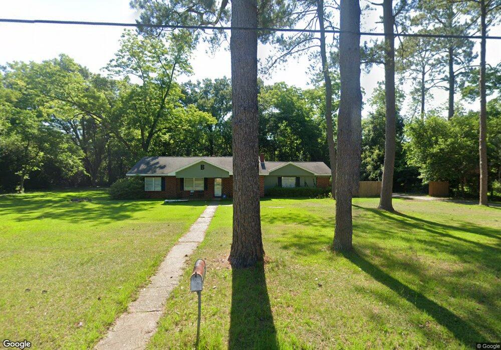
904 Van Deman St Albany, GA 31705
Dixie Heights NeighborhoodEstimated Value: $73,000 - $95,000
3
Beds
2
Baths
1,660
Sq Ft
$53/Sq Ft
Est. Value
About This Home
This home is located at 904 Van Deman St, Albany, GA 31705 and is currently estimated at $87,829, approximately $52 per square foot. 904 Van Deman St is a home located in Dougherty County with nearby schools including Morningside Elementary School, Monroe High School, and New Birth Fellowship Christian Academy.
Ownership History
Date
Name
Owned For
Owner Type
Purchase Details
Closed on
Dec 9, 2011
Sold by
Hall Willie J
Bought by
Brown Donnie
Current Estimated Value
Purchase Details
Closed on
Feb 24, 2000
Sold by
Housing & Urban Dev
Bought by
Hall Willie J and Isabell Hall
Purchase Details
Closed on
Feb 2, 1999
Sold by
Regions Mtge Inc Fka Real Estate Financi
Bought by
Housing & Urban Dev
Purchase Details
Closed on
Dec 11, 1986
Sold by
Stewart Henrietta
Bought by
Brown Leobia V
Create a Home Valuation Report for This Property
The Home Valuation Report is an in-depth analysis detailing your home's value as well as a comparison with similar homes in the area
Home Values in the Area
Average Home Value in this Area
Purchase History
| Date | Buyer | Sale Price | Title Company |
|---|---|---|---|
| Brown Donnie | $32,500 | -- | |
| Hall Willie J | $45,000 | -- | |
| Housing & Urban Dev | -- | -- | |
| Regions Mortgage | -- | -- | |
| Brown Leobia V | $49,900 | -- |
Source: Public Records
Tax History
| Year | Tax Paid | Tax Assessment Tax Assessment Total Assessment is a certain percentage of the fair market value that is determined by local assessors to be the total taxable value of land and additions on the property. | Land | Improvement |
|---|---|---|---|---|
| 2025 | -- | $26,988 | $4,760 | $22,228 |
| 2024 | -- | $26,988 | $4,760 | $22,228 |
| 2023 | $0 | $26,988 | $4,760 | $22,228 |
| 2022 | $1,170 | $26,988 | $4,760 | $22,228 |
| 2021 | $1,170 | $26,988 | $4,760 | $22,228 |
| 2020 | $1,173 | $26,988 | $4,760 | $22,228 |
| 2019 | $1,182 | $26,988 | $4,760 | $22,228 |
| 2018 | $0 | $26,988 | $4,760 | $22,228 |
| 2017 | $0 | $26,988 | $4,760 | $22,228 |
| 2016 | $1,020 | $26,988 | $4,760 | $22,228 |
| 2015 | $1,023 | $26,988 | $4,760 | $22,228 |
| 2014 | $929 | $24,988 | $2,760 | $22,228 |
Source: Public Records
Map
Nearby Homes
- 610 Bobbitt Dr
- 502 Mitchell Ave
- 916 Crawford Dr
- 911 Mercedes St
- 325 Lynn Ln
- 111 Morningside Dr
- 1401 E Waddell Ave
- 1403 E Waddell Ave
- 811 S Maple St
- 2021 Radium Springs Rd
- 1400 E Lincoln Ave
- 201 Moore Ave
- 1411 E Gordon Ave
- 608 Cason St
- 211 Collins St
- 205 Collins St
- 210 S Carroll St
- 205 Cannon Ave
- 202 Delta St
- 1318 E Roosevelt Ave
- 906 Van Deman St
- 900 Van Deman St
- 905 Van Deman St
- 903 Van Deman St
- 814 Mitchell Ave
- 708 Mitchell Ave
- 913 Mobile Ave
- 908 Frotscher St
- 912 Frotscher St
- 908 Van Deman St
- 801 Mitchell Ave
- 915 Mobile Ave
- 917 Mobile Ave
- 919 Mobile Ave
- 913 Van Deman St
- 709 Mitchell Ave
- 705 Bobbitt Dr
- 921 Mobile Ave
- 707 Mitchell Ave
- 915 Van Deman St
Your Personal Tour Guide
Ask me questions while you tour the home.