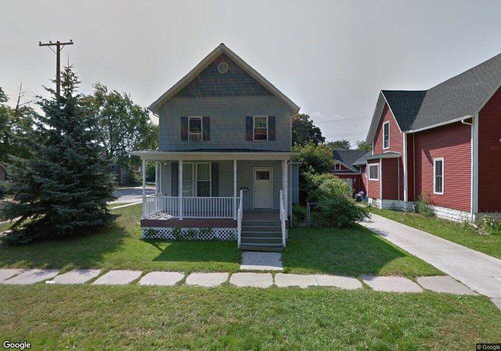
904 Wall St Port Huron, MI 48060
Estimated Value: $115,560 - $172,000
3
Beds
2
Baths
1,460
Sq Ft
$97/Sq Ft
Est. Value
About This Home
This home is located at 904 Wall St, Port Huron, MI 48060 and is currently estimated at $141,890, approximately $97 per square foot. 904 Wall St is a home located in St. Clair County with nearby schools including Woodrow Wilson Elementary School, Holland Woods Middle School, and Port Huron High School.
Ownership History
Date
Name
Owned For
Owner Type
Purchase Details
Closed on
Apr 16, 2010
Sold by
Port Huron Neighborhood Housing Corporat
Bought by
Dunn Coreena
Current Estimated Value
Home Financials for this Owner
Home Financials are based on the most recent Mortgage that was taken out on this home.
Original Mortgage
$58,913
Outstanding Balance
$39,258
Interest Rate
5.01%
Mortgage Type
FHA
Estimated Equity
$102,632
Purchase Details
Closed on
Nov 10, 2005
Sold by
Kimmerly Michael and Kimmerly Terry
Bought by
Port Huron Neighborhood Housing Corp Inc
Create a Home Valuation Report for This Property
The Home Valuation Report is an in-depth analysis detailing your home's value as well as a comparison with similar homes in the area
Home Values in the Area
Average Home Value in this Area
Purchase History
| Date | Buyer | Sale Price | Title Company |
|---|---|---|---|
| Dunn Coreena | $60,000 | None Available | |
| Port Huron Neighborhood Housing Corp Inc | $52,000 | None Available |
Source: Public Records
Mortgage History
| Date | Status | Borrower | Loan Amount |
|---|---|---|---|
| Open | Dunn Coreena | $58,913 |
Source: Public Records
Tax History
| Year | Tax Paid | Tax Assessment Tax Assessment Total Assessment is a certain percentage of the fair market value that is determined by local assessors to be the total taxable value of land and additions on the property. | Land | Improvement |
|---|---|---|---|---|
| 2025 | $976 | $48,400 | $0 | $0 |
| 2024 | $951 | $45,700 | $0 | $0 |
| 2023 | $898 | $40,500 | $0 | $0 |
| 2022 | $875 | $33,500 | $0 | $0 |
| 2020 | $841 | $25,200 | $25,200 | $0 |
| 2019 | $826 | $18,700 | $0 | $0 |
| 2018 | $808 | $18,700 | $0 | $0 |
| 2017 | $723 | $18,000 | $0 | $0 |
| 2016 | $606 | $18,000 | $0 | $0 |
| 2015 | $595 | $17,600 | $17,600 | $0 |
| 2014 | $595 | $16,600 | $16,600 | $0 |
| 2013 | -- | $16,600 | $0 | $0 |
Source: Public Records
Map
Nearby Homes
Your Personal Tour Guide
Ask me questions while you tour the home.