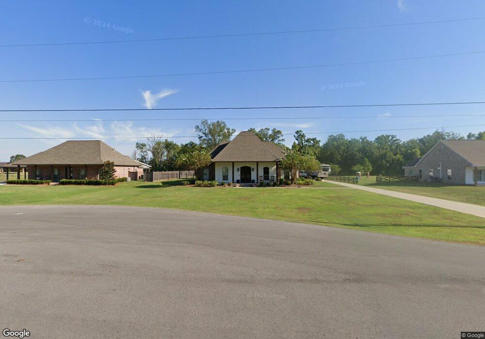
9040 Singleton Rd Port Allen, LA 70767
West Baton Rouge Parish NeighborhoodEstimated Value: $382,000 - $489,000
Studio
--
Bath
2,859
Sq Ft
$153/Sq Ft
Est. Value
About This Home
This home is located at 9040 Singleton Rd, Port Allen, LA 70767 and is currently estimated at $437,955, approximately $153 per square foot. 9040 Singleton Rd is a home with nearby schools including Caneview K-8 School and Port Allen High School.
Ownership History
Date
Name
Owned For
Owner Type
Purchase Details
Closed on
Mar 24, 2011
Sold by
Ourso Martin Susan
Bought by
Farthing Darren Michael and Farthing Nicolette Richardson
Current Estimated Value
Home Financials for this Owner
Home Financials are based on the most recent Mortgage that was taken out on this home.
Original Mortgage
$46,750
Outstanding Balance
$34,471
Interest Rate
6.5%
Mortgage Type
Unknown
Estimated Equity
$403,484
Create a Home Valuation Report for This Property
The Home Valuation Report is an in-depth analysis detailing your home's value as well as a comparison with similar homes in the area
Home Values in the Area
Average Home Value in this Area
Purchase History
| Date | Buyer | Sale Price | Title Company |
|---|---|---|---|
| Farthing Darren Michael | $53,000 | None Available |
Source: Public Records
Mortgage History
| Date | Status | Borrower | Loan Amount |
|---|---|---|---|
| Open | Farthing Darren Michael | $46,750 |
Source: Public Records
Tax History
| Year | Tax Paid | Tax Assessment Tax Assessment Total Assessment is a certain percentage of the fair market value that is determined by local assessors to be the total taxable value of land and additions on the property. | Land | Improvement |
|---|---|---|---|---|
| 2025 | $3,388 | $41,780 | $8,010 | $33,770 |
| 2024 | $3,320 | $41,780 | $8,010 | $33,770 |
| 2023 | $3,140 | $37,740 | $6,500 | $31,240 |
| 2022 | $3,958 | $37,740 | $6,500 | $31,240 |
| 2021 | $4,048 | $37,740 | $6,500 | $31,240 |
| 2020 | $3,680 | $33,970 | $5,850 | $28,120 |
| 2019 | $3,361 | $29,790 | $4,500 | $25,290 |
| 2018 | $3,422 | $29,790 | $4,500 | $25,290 |
| 2017 | $3,160 | $29,790 | $4,500 | $25,290 |
| 2015 | $2,433 | $28,330 | $3,040 | $25,290 |
| 2014 | $2,394 | $28,330 | $3,040 | $25,290 |
| 2013 | $257 | $3,040 | $3,040 | $0 |
Source: Public Records
Map
Nearby Homes
- 8856 Singleton Rd
- 8958 Singleton Rd
- 10082 Swanson Ln
- 4900 Bueche Rd
- 5211 Wilcox Dr
- 7058 Hwy 190 W
- 6121 McLin Rd
- 6255 Rougon Rd
- 9741 Cane Bayou Rd
- 11710 Parkland Dr S
- 6029 Elm Grove Rd
- 9765 Skynet Ln
- 9766 Skynet Ln
- 9527 Burnside Rd
- 6785 Lone Oak Dr
- 841 Poydras Bayou Rd
- 7000 Bueche Rd
- 11713 Landry Ln
- 11837 E Subdivision Rd
- 1093 Poydras Bayou Dr
- 9010 Singleton Rd
- 9080 Singleton Rd
- 8998 Singleton Rd
- 8978 Singleton Rd
- 9007 Singleton Rd
- 9087 Singleton Rd
- 9097 Singleton Rd
- 8938 Singleton Rd
- 9258 Highway 190 W
- 9258 Hwy 190 W
- 8975 Singleton Rd
- 8935 Singleton Rd
- 8905 Singleton Rd
- LOT 43 Singleton Rd
- 8836 Singleton Rd
- 8853 Singleton Rd
- 8816 Singleton Rd
- 8813 Singleton Rd
- 8734 Singleton Rd
- 3650 Twin Ln
Your Personal Tour Guide
Ask me questions while you tour the home.