905 High Point Dr Pioneer, OH 43554
Estimated Value: $154,000 - $228,000
2
Beds
2
Baths
1,176
Sq Ft
$163/Sq Ft
Est. Value
About This Home
This home is located at 905 High Point Dr, Pioneer, OH 43554 and is currently estimated at $191,181, approximately $162 per square foot. 905 High Point Dr is a home located in Williams County with nearby schools including North Central Elementary School and North Central Junior/Senior High School.
Ownership History
Date
Name
Owned For
Owner Type
Purchase Details
Closed on
Jan 25, 2008
Sold by
Zimmerman John S and Zimmerman Linda J
Bought by
Zimmerman John and Zimmerman Linda
Current Estimated Value
Purchase Details
Closed on
Dec 12, 1997
Sold by
Beene Sharyn R
Bought by
Zimmerman John and Zimmerman Linda
Purchase Details
Closed on
Aug 30, 1996
Sold by
Neubig Marvin A And
Bought by
Beene Sharyn R
Purchase Details
Closed on
Apr 29, 1985
Bought by
Neubig Marvin A And
Create a Home Valuation Report for This Property
The Home Valuation Report is an in-depth analysis detailing your home's value as well as a comparison with similar homes in the area
Purchase History
| Date | Buyer | Sale Price | Title Company |
|---|---|---|---|
| Zimmerman John | -- | None Available | |
| Zimmerman John | $129,000 | -- | |
| Beene Sharyn R | $132,900 | -- | |
| Neubig Marvin A And | $75,000 | -- |
Source: Public Records
Tax History
| Year | Tax Paid | Tax Assessment Tax Assessment Total Assessment is a certain percentage of the fair market value that is determined by local assessors to be the total taxable value of land and additions on the property. | Land | Improvement |
|---|---|---|---|---|
| 2025 | $2,011 | $62,130 | $8,230 | $53,900 |
| 2024 | $2,011 | $62,130 | $8,230 | $53,900 |
| 2023 | $2,045 | $49,990 | $9,700 | $40,290 |
| 2022 | $1,791 | $49,990 | $9,700 | $40,290 |
| 2021 | $1,791 | $49,990 | $9,700 | $40,290 |
| 2020 | $1,525 | $42,360 | $8,230 | $34,130 |
| 2019 | $1,514 | $42,360 | $8,230 | $34,130 |
| 2018 | $1,322 | $42,360 | $8,230 | $34,130 |
| 2017 | $1,194 | $35,980 | $6,300 | $29,680 |
| 2016 | $1,133 | $35,980 | $6,300 | $29,680 |
| 2015 | $1,191 | $35,980 | $6,300 | $29,680 |
| 2014 | $1,191 | $35,980 | $6,300 | $29,680 |
| 2013 | $1,182 | $35,980 | $6,300 | $29,680 |
Source: Public Records
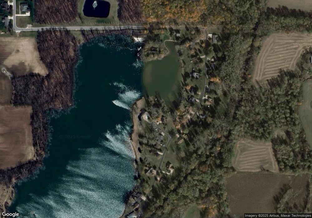
Map
Nearby Homes
- 909 High Point Dr
- 500 Briarwood Ln
- 14857 U S 20
- 404 Clear Fork Dr
- 201 W Church St
- 16724 U S 20
- 14689 W Merry Dr
- 4002 & 4014 Meadowlawn Dr
- 0 US Highway 20a
- 13151 Tripp Rd
- 608 Oneida Dr
- 155 Navajo Trail
- 145 Lumbee Ln
- 169 Seneca Dr
- 0 Pontiac Trail Unit 10001711
- 0 Seneca Dr Unit Lot 864
- 14191 Lickley Rd
- 234 Seneca Dr
- 207 Modoc Trail
- 5660 Camden Rd
- 901 High Point Dr
- 724 Lakeshore Dr
- Lot 8 Lake Shore Dr
- 908 High Point Dr
- 716 Lakeshore Dr
- 716 Lakeshore Dr
- 712 Lakeshore Dr
- 804 Lakeshore Dr
- 708 Lakeshore Dr
- 700 Lakeshore Dr
- 801 Lakeshore Dr
- 704 Lakeshore Dr
- 729 Lakeshore Dr
- 808 Lakeshore Dr
- 717 Lakeshore Dr
- 812 Lakeshore Dr
- 616 Lakeshore Dr
- 709 Lakeshore Dr
- 817 Lakeshore Dr
- 701 Lakeshore Dr
Your Personal Tour Guide
Ask me questions while you tour the home.