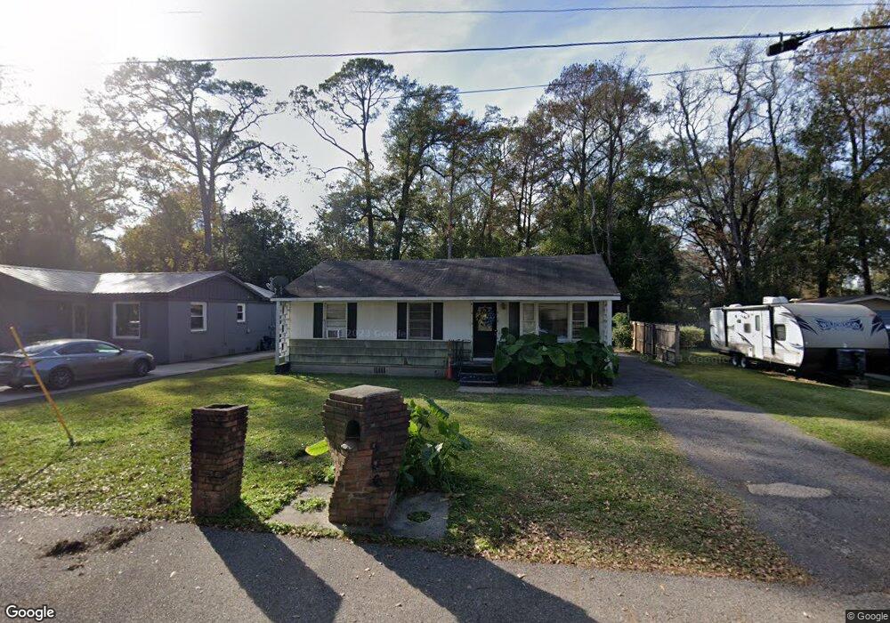
906 W Tanglewood Dr Mobile, AL 36606
Woodlawn NeighborhoodEstimated Value: $74,000 - $149,000
Studio
1
Bath
1,254
Sq Ft
$97/Sq Ft
Est. Value
About This Home
This home is located at 906 W Tanglewood Dr, Mobile, AL 36606 and is currently estimated at $121,667, approximately $97 per square foot. 906 W Tanglewood Dr is a home located in Mobile County with nearby schools including Maryvale Elementary School, Williamson High School, and Little Flower Catholic School.
Ownership History
Date
Name
Owned For
Owner Type
Purchase Details
Closed on
Nov 29, 2023
Sold by
Dos Amigos Llc
Bought by
South Assets Corp
Current Estimated Value
Purchase Details
Closed on
Jul 26, 2011
Sold by
Lewis Arthur E and Clemons Latrashea T
Bought by
Dos Amigos Llc
Purchase Details
Closed on
Feb 14, 2011
Sold by
Mcfadden William S and Lewis Arthur E
Bought by
Dos Amigos Llc
Purchase Details
Closed on
Mar 31, 2009
Sold by
Dos Amigos Llc
Bought by
Lewis Arthur E and Clemons Latrashea T
Home Financials for this Owner
Home Financials are based on the most recent Mortgage that was taken out on this home.
Original Mortgage
$71,000
Interest Rate
9%
Mortgage Type
Seller Take Back
Create a Home Valuation Report for This Property
The Home Valuation Report is an in-depth analysis detailing your home's value as well as a comparison with similar homes in the area
Home Values in the Area
Average Home Value in this Area
Purchase History
| Date | Buyer | Sale Price | Title Company |
|---|---|---|---|
| South Assets Corp | $300,000 | None Listed On Document | |
| Dos Amigos Llc | $45,889 | None Available | |
| Dos Amigos Llc | $75,105 | None Available | |
| Lewis Arthur E | $75,000 | Tga |
Source: Public Records
Mortgage History
| Date | Status | Borrower | Loan Amount |
|---|---|---|---|
| Previous Owner | Lewis Arthur E | $71,000 |
Source: Public Records
Tax History
| Year | Tax Paid | Tax Assessment Tax Assessment Total Assessment is a certain percentage of the fair market value that is determined by local assessors to be the total taxable value of land and additions on the property. | Land | Improvement |
|---|---|---|---|---|
| 2025 | $824 | $12,820 | $2,200 | $10,620 |
| 2024 | $824 | $12,000 | $2,200 | $9,800 |
| 2023 | $716 | $11,120 | $2,200 | $8,920 |
| 2022 | $679 | $10,700 | $2,200 | $8,500 |
| 2021 | $679 | $10,700 | $2,200 | $8,500 |
| 2020 | $679 | $10,700 | $2,200 | $8,500 |
| 2019 | $665 | $10,480 | $2,200 | $8,280 |
| 2018 | $657 | $10,340 | $0 | $0 |
| 2017 | $657 | $10,340 | $0 | $0 |
| 2016 | $671 | $10,560 | $0 | $0 |
| 2013 | $723 | $11,140 | $0 | $0 |
Source: Public Records
Map
Nearby Homes
- 903 Fairmont St
- 2516 Pleasant Valley Rd
- 713 Mandrell St
- 1833 Woodcock Place
- 1837 Woodcock Place
- 1841 Woodcock Place
- 1829 Woodcock Place
- 2757 N Thompson Dr
- 655 Mandrell St
- 655 Shannon St
- 713 Pinehill Dr
- 2258 Howell Ave
- 2755 Kreitner St
- 731 Jemison St
- 1000 Belvedere Cir E
- 552 Magnolia Rd
- 3006 Pleasant Valley Rd
- 2103 E Victory Dr
- 2768 Brookwood Dr
- 504 W Barksdale Dr
- 908 W Tanglewood Dr
- 2565 Pleasant Valley Rd
- 2567 Pleasant Valley Rd
- 910 W Tanglewood Dr
- 907 W Tanglewood Dr
- 905 Cloverdale Dr
- 907 Cloverdale Dr
- 7029 W Tanglewood Dr
- 903 Cloverdale Dr
- 950 W Tanglewood Dr
- 2563 Pleasant Valley Rd
- 901 Cloverdale Dr
- 911 Cloverdale Dr
- 2562 Courtney St S
- 952 W Tanglewood Dr
- 2561 Pleasant Valley Rd
- 2563 Courtney St S
- 913 Cloverdale Dr
- 2560 Courtney St S
- 954 W Tanglewood Dr
Your Personal Tour Guide
Ask me questions while you tour the home.