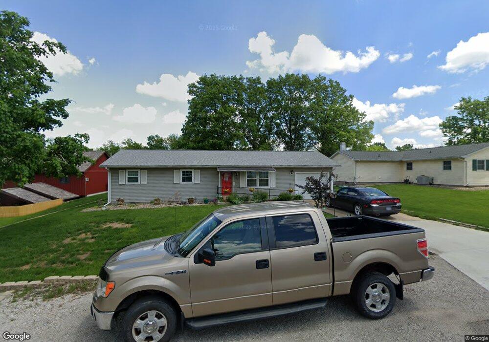
907 Fuller St Charleston, IL 61920
Estimated Value: $120,262 - $142,000
3
Beds
1
Bath
1,019
Sq Ft
$128/Sq Ft
Est. Value
About This Home
This home is located at 907 Fuller St, Charleston, IL 61920 and is currently estimated at $130,316, approximately $127 per square foot. 907 Fuller St is a home located in Coles County with nearby schools including Charleston High School, Charleston Christian Academy, and Charleston Christian Academy High School.
Ownership History
Date
Name
Owned For
Owner Type
Purchase Details
Closed on
Dec 15, 2014
Sold by
Effland Clemon and Effland Lois L
Bought by
Harris Richard D and Harris Mary K
Current Estimated Value
Home Financials for this Owner
Home Financials are based on the most recent Mortgage that was taken out on this home.
Original Mortgage
$74,608
Outstanding Balance
$56,632
Interest Rate
3.99%
Mortgage Type
FHA
Estimated Equity
$73,684
Create a Home Valuation Report for This Property
The Home Valuation Report is an in-depth analysis detailing your home's value as well as a comparison with similar homes in the area
Home Values in the Area
Average Home Value in this Area
Purchase History
We collect this data history from publicly available records. To have your information removed, we recommend requesting removal directly through your county’s website.
| Date | Buyer | Sale Price | Title Company |
|---|---|---|---|
| Harris Richard D | $76,000 | -- |
Source: Public Records
Mortgage History
We collect this data history from publicly available records. To have your information removed, we recommend requesting removal directly through your county’s website.
| Date | Status | Borrower | Loan Amount |
|---|---|---|---|
| Open | Harris Richard D | $74,608 |
Source: Public Records
Tax History
| Year | Tax Paid | Tax Assessment Tax Assessment Total Assessment is a certain percentage of the fair market value that is determined by local assessors to be the total taxable value of land and additions on the property. | Land | Improvement |
|---|---|---|---|---|
| 2024 | $1,090 | $29,060 | $3,216 | $25,844 |
| 2023 | $1,300 | $26,539 | $2,937 | $23,602 |
| 2022 | $1,287 | $26,100 | $2,888 | $23,212 |
| 2021 | $1,330 | $25,048 | $2,772 | $22,276 |
| 2020 | $1,344 | $25,952 | $3,646 | $22,306 |
| 2019 | $1,287 | $25,048 | $3,519 | $21,529 |
| 2018 | $1,273 | $25,048 | $3,519 | $21,529 |
| 2017 | $1,256 | $25,048 | $3,519 | $21,529 |
| 2016 | $1,614 | $24,206 | $3,519 | $20,687 |
| 2015 | $1,194 | $24,206 | $3,519 | $20,687 |
| 2014 | $1,194 | $24,206 | $3,519 | $20,687 |
| 2013 | $1,194 | $24,206 | $3,519 | $20,687 |
Source: Public Records
Map
Nearby Homes
- 720 E St
- 326 W Harrison Ave
- 422 F St
- 0 Timberlake Lot 17 Estates
- 800 Division St
- 29 Jackson Ave
- 1804 University Dr
- 9 Orchard Dr
- 111 Jackson Ave
- 75 W Grant Ave
- 305 Polk Ave
- 820 4th St
- 1914 Meadowlake Dr
- 1518 2nd St
- 213 4th St
- 1103 & 1105 6th St
- 2115 University Dr
- 1035 Woodberry Ln
- 805 Harrison Ave
- 1034 9th St
- 600 Greenbrier Ct
- 621 Greenbrier Ct
- 617 Greenbrier Ct
- 601 Greenbrier Ct
- 908 Fuller Dr
- 840 Fuller St
- 840 Fuller St
- 910 1/2 Fuller St
- 620 Greenbrier Ct
- 616 Greenbrier Ct
- 912 Fuller Dr
- 604 Greenbrier Ct
- 912 Fuller St
- 603 Greenbrier Ct
- 608 Greenbrier Ct
- 614 Greenbrier Ct
- 914 Fuller Dr
- 914 Fuller St
- 610 Greenbrier Ct
- 612 Greenbrier Ct
Your Personal Tour Guide
Ask me questions while you tour the home.