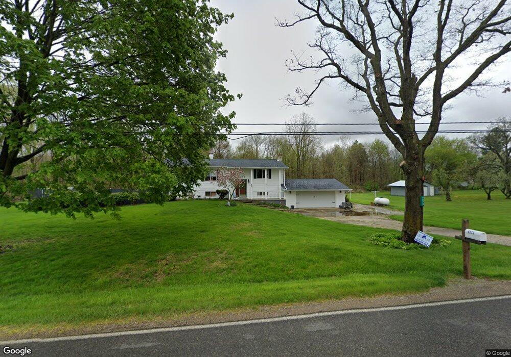
9073 Bancroft Rd Bancroft, MI 48414
Estimated Value: $202,000 - $263,000
Studio
--
Bath
--
Sq Ft
40,075
Sq Ft Lot
About This Home
This home is located at 9073 Bancroft Rd, Bancroft, MI 48414 and is currently estimated at $238,881. 9073 Bancroft Rd is a home located in Shiawassee County with nearby schools including Bertha Neal Elementary School, Robert Kerr School, and Durand Middle School.
Ownership History
Date
Name
Owned For
Owner Type
Purchase Details
Closed on
Oct 7, 2016
Sold by
Perkins Kathlee Ann
Bought by
Perkins Robert J
Current Estimated Value
Home Financials for this Owner
Home Financials are based on the most recent Mortgage that was taken out on this home.
Original Mortgage
$77,000
Interest Rate
3.44%
Mortgage Type
Purchase Money Mortgage
Purchase Details
Closed on
Apr 3, 2003
Sold by
Perkins Robert J
Bought by
Perkins Robert J and Perkins Kathleen Ann
Create a Home Valuation Report for This Property
The Home Valuation Report is an in-depth analysis detailing your home's value as well as a comparison with similar homes in the area
Purchase History
| Date | Buyer | Sale Price | Title Company |
|---|---|---|---|
| Perkins Robert J | -- | Lighthouse Title | |
| Perkins Robert J | -- | None Available | |
| Perkins Robert J | -- | -- |
Source: Public Records
Mortgage History
| Date | Status | Borrower | Loan Amount |
|---|---|---|---|
| Closed | Perkins Robert J | $77,000 |
Source: Public Records
Tax History
| Year | Tax Paid | Tax Assessment Tax Assessment Total Assessment is a certain percentage of the fair market value that is determined by local assessors to be the total taxable value of land and additions on the property. | Land | Improvement |
|---|---|---|---|---|
| 2025 | $2,242 | $127,300 | $0 | $0 |
| 2024 | $2,242 | $119,400 | $0 | $0 |
| 2023 | $780 | $117,500 | $0 | $0 |
| 2022 | $2,080 | $100,600 | $0 | $0 |
| 2021 | $3,095 | $90,000 | $0 | $0 |
| 2020 | $1,945 | $89,900 | $0 | $0 |
| 2019 | $1,681 | $74,700 | $0 | $0 |
| 2018 | $1,795 | $74,300 | $0 | $0 |
| 2017 | $1,721 | $66,100 | $0 | $0 |
| 2016 | -- | $66,100 | $0 | $0 |
| 2015 | -- | $57,000 | $0 | $0 |
| 2014 | $7 | $62,600 | $0 | $0 |
Source: Public Records
Map
Nearby Homes
- 102 E Maple Ave
- 5832 E Cole Rd
- 3300 E Lansing Rd
- 8502 S Vernon Rd
- 3824 Britton Rd
- 6640 Lemon Rd
- 8311 State Rd
- 1583 E Lansing Rd
- 8390 E Pittsburg Rd
- 8875 E Miller Rd
- vl Lehring Rd
- 00 W Lansing Rd
- 491 E Tyrrell Rd
- 8453 S Durand Rd
- 402 W Perry St
- 105 W John St
- 107 E John St
- 7960 Beard Rd
- 409 N Lincoln St
- 609 S Kingswood St
- 9109 S Bancroft Rd
- 9109 Bancroft Rd
- 9104 Bancroft Rd
- 9109 Bancroft Rd
- 9125 Bancroft Rd
- 5115 E Cole Rd
- 5101 E Cole Rd
- VL Cole Road & Bancroft Rd
- 9160 Bancroft Rd
- 000 Cole Rd
- 5143 E Cole Rd
- 5143 E Cole Rd
- 9300 Bancroft Rd
- 5159 E Cole Rd
- 5159 E Cole Rd
- 5153 Cole
- 5151 E Cole Rd
- 5153 Cole Rd
- 9320 Bancroft Rd
- 5150 E Cole Rd
Your Personal Tour Guide
Ask me questions while you tour the home.