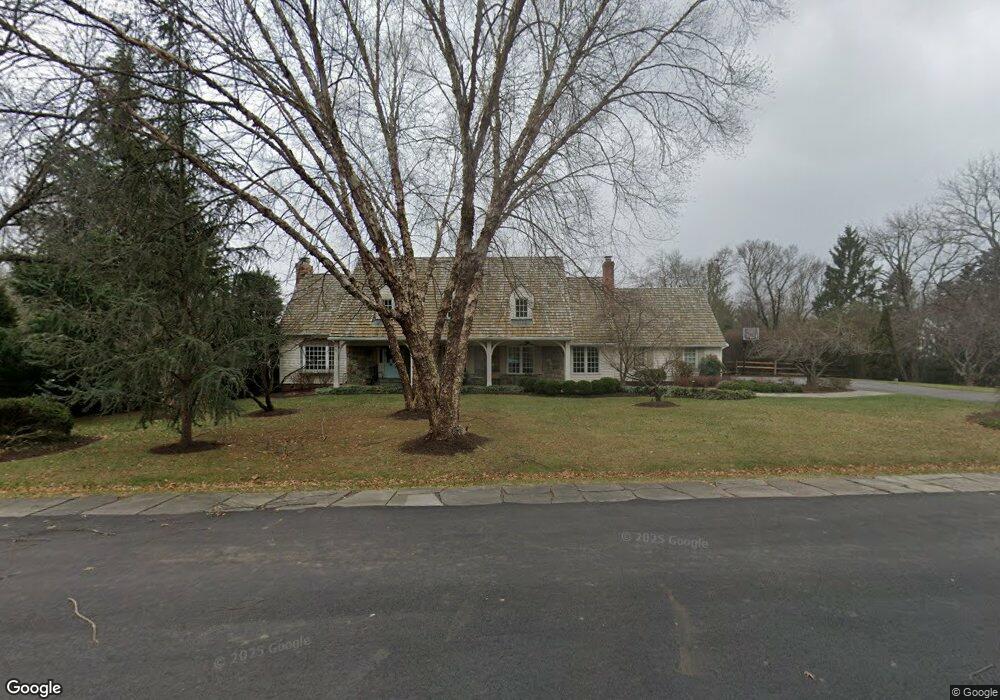
908 Countryside Ct McLean, VA 22101
Estimated Value: $2,601,000 - $2,976,000
5
Beds
6
Baths
3,065
Sq Ft
$899/Sq Ft
Est. Value
About This Home
This home is located at 908 Countryside Ct, McLean, VA 22101 and is currently estimated at $2,754,353, approximately $898 per square foot. 908 Countryside Ct is a home located in Fairfax County with nearby schools including Churchill Road Elementary School, Cooper Middle School, and Langley High School.
Ownership History
Date
Name
Owned For
Owner Type
Purchase Details
Closed on
Dec 30, 2003
Sold by
Embassy Of Korea
Bought by
Hilliard Thomas
Current Estimated Value
Home Financials for this Owner
Home Financials are based on the most recent Mortgage that was taken out on this home.
Original Mortgage
$650,000
Outstanding Balance
$303,136
Interest Rate
5.86%
Mortgage Type
New Conventional
Estimated Equity
$2,451,217
Create a Home Valuation Report for This Property
The Home Valuation Report is an in-depth analysis detailing your home's value as well as a comparison with similar homes in the area
Home Values in the Area
Average Home Value in this Area
Purchase History
We collect this data history from publicly available records. To have your information removed, we recommend requesting removal directly through your county’s website.
| Date | Buyer | Sale Price | Title Company |
|---|---|---|---|
| Hilliard Thomas | $1,124,450 | -- |
Source: Public Records
Mortgage History
We collect this data history from publicly available records. To have your information removed, we recommend requesting removal directly through your county’s website.
| Date | Status | Borrower | Loan Amount |
|---|---|---|---|
| Open | Hilliard Thomas | $650,000 |
Source: Public Records
Tax History
| Year | Tax Paid | Tax Assessment Tax Assessment Total Assessment is a certain percentage of the fair market value that is determined by local assessors to be the total taxable value of land and additions on the property. | Land | Improvement |
|---|---|---|---|---|
| 2025 | $21,834 | $2,004,270 | $1,152,000 | $852,270 |
| 2024 | $21,834 | $1,847,960 | $1,021,000 | $826,960 |
| 2023 | $19,915 | $1,729,460 | $912,000 | $817,460 |
| 2022 | $19,894 | $1,705,480 | $912,000 | $793,480 |
| 2021 | $19,723 | $1,648,390 | $882,000 | $766,390 |
| 2020 | $18,876 | $1,564,550 | $802,000 | $762,550 |
| 2019 | $18,461 | $1,530,120 | $802,000 | $728,120 |
| 2018 | $17,017 | $1,479,760 | $771,000 | $708,760 |
| 2017 | $17,509 | $1,478,840 | $771,000 | $707,840 |
| 2016 | $18,667 | $1,579,960 | $771,000 | $808,960 |
| 2015 | $17,437 | $1,530,920 | $749,000 | $781,920 |
| 2014 | $15,496 | $1,363,460 | $663,000 | $700,460 |
Source: Public Records
Map
Nearby Homes
- 942 Dead Run Dr
- 7009 Benjamin St
- 6952 Kyleakin Ct
- 7008 Arbor Ln
- 6910 Bright Ave
- 7007 Hector Rd
- 6804 Benjamin St
- 7002 River Oaks Dr
- 1104 Sharon Ct
- 1054 Kinglet Ct
- 6809 Sorrel St
- 731 Lawton St
- 1052 Balls Hill Rd
- 725 Lawton St
- 1107 Dead Run Dr
- 1100 Balls Hill Rd
- 6811 Wemberly Way
- 1101 Clover Dr
- 6807 Wemberly Way
- 1102 Clover Dr
- 910 Countryside Ct
- 906 Countryside Ct
- 907 Countryside Ct
- 7013 Duncraig Ct
- 909 Countryside Ct
- 904 Countryside Ct
- 903 Countryside Ct
- 7015 Duncraig Ct
- 7011 Duncraig Ct
- 902 Countryside Ct
- 7009 Duncraig Ct
- 7011 Holyrood Dr
- 7014 Duncraig Ct
- 7013 Holyrood Dr
- 931 Dead Run Dr
- 7009 Holyrood Dr
- 937 Dead Run Dr
- 7007 Duncraig Ct
- 7100 Country Meadow Ct
- 939 Dead Run Dr
Your Personal Tour Guide
Ask me questions while you tour the home.