9085 Date Rd Baroda, MI 49101
Estimated Value: $188,000 - $342,000
3
Beds
2
Baths
2,056
Sq Ft
$123/Sq Ft
Est. Value
About This Home
This home is located at 9085 Date Rd, Baroda, MI 49101 and is currently estimated at $252,667, approximately $122 per square foot. 9085 Date Rd is a home located in Berrien County with nearby schools including Lakeshore High School and Immanuel Lutheran School.
Ownership History
Date
Name
Owned For
Owner Type
Purchase Details
Closed on
Sep 24, 2010
Sold by
Fifth Third Bank
Bought by
Semke Heinz
Current Estimated Value
Purchase Details
Closed on
Feb 26, 2009
Sold by
Kugle Vernon G
Bought by
Fifth Third Bank and Fifth Third Bank Indiana Northern
Purchase Details
Closed on
Nov 13, 2008
Sold by
Kugle Vernon G
Bought by
Fifth Third Mortgage Company
Purchase Details
Closed on
Nov 12, 1999
Purchase Details
Closed on
Nov 22, 1994
Purchase Details
Closed on
Dec 17, 1993
Purchase Details
Closed on
Feb 17, 1989
Purchase Details
Closed on
Jan 12, 1989
Create a Home Valuation Report for This Property
The Home Valuation Report is an in-depth analysis detailing your home's value as well as a comparison with similar homes in the area
Purchase History
| Date | Buyer | Sale Price | Title Company |
|---|---|---|---|
| Semke Heinz | $50,500 | Attorneys Title Agency Llc | |
| Fifth Third Bank | $89,000 | None Available | |
| Fifth Third Mortgage Company | $55,099 | None Available | |
| -- | $100,000 | -- | |
| -- | $100 | -- | |
| -- | $70,000 | -- | |
| -- | $11,500 | -- | |
| -- | $11,500 | -- |
Source: Public Records
Tax History
| Year | Tax Paid | Tax Assessment Tax Assessment Total Assessment is a certain percentage of the fair market value that is determined by local assessors to be the total taxable value of land and additions on the property. | Land | Improvement |
|---|---|---|---|---|
| 2025 | $1,581 | $135,700 | $0 | $0 |
| 2024 | $1,103 | $130,400 | $0 | $0 |
| 2023 | $1,046 | $106,400 | $0 | $0 |
| 2022 | $990 | $89,000 | $0 | $0 |
| 2021 | $1,358 | $88,400 | $25,500 | $62,900 |
| 2020 | $1,357 | $87,600 | $0 | $0 |
| 2019 | $1,350 | $68,200 | $23,000 | $45,200 |
Source: Public Records
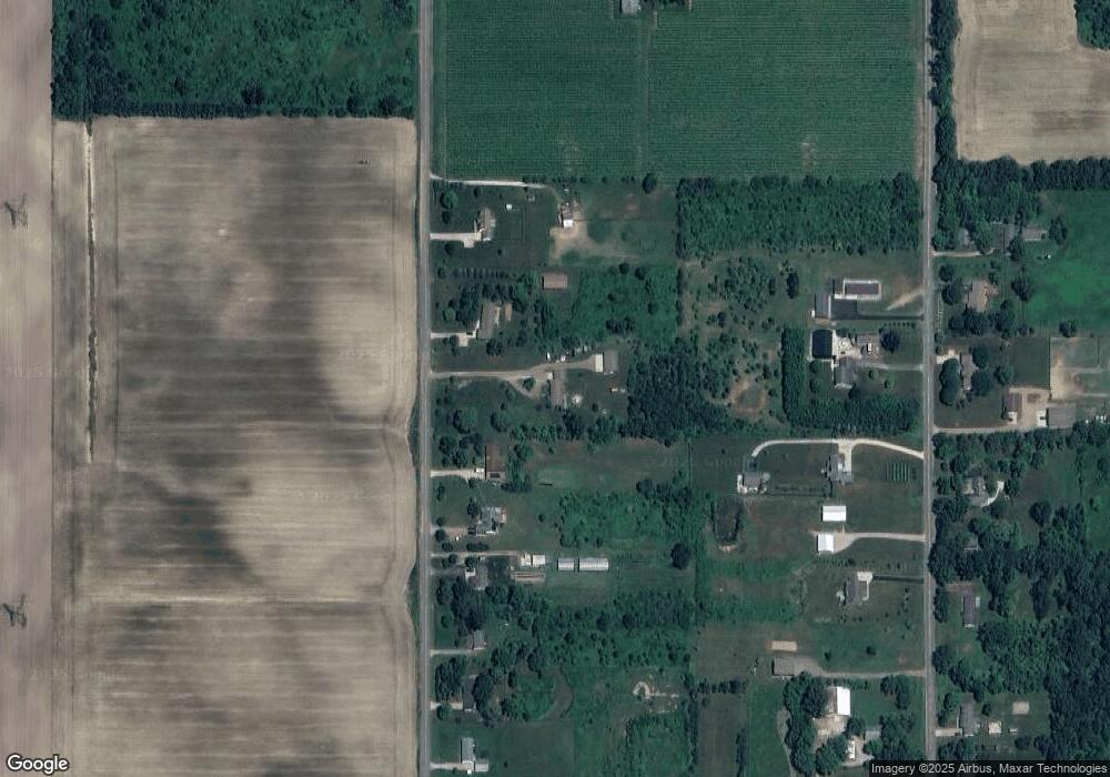
Map
Nearby Homes
- 0 0a Linke Rd Rd
- 9847 Quail Run Ct
- 3728 Lake St
- 0 Cleveland Ave
- 10157 Jericho Rd
- 3926 Papalardo St
- 4173 Maplewood Rd
- 10299 Gast Rd
- 9048 2nd St
- 5797 Wildwood Dr
- 3990 Sugarsand Ln
- V/L W Lemon Creek Rd Unit 2
- V/L W Lemon Creek Rd Unit 3
- V/L W Lemon Creek Rd Unit 1
- V/L W Lemon Creek Rd Unit 4
- 3995 Sugarsand Ln
- 1134 Sonoma Ct
- 0a Red Arrow Hwy
- 9720 Baldwin Rd Unit 12
- 9720 Baldwin Rd Unit 11
- 9111 Date Rd
- 9057 Date Rd
- 9139 Date Rd
- 9025 Date Rd
- 9165 Date Rd
- 9185 Date Rd
- 9090 Livengood Rd
- 9050 Livengood Rd
- 9119 Livengood Rd
- 9203 Date Rd
- 9076 Livengood Rd
- 9130 Livengood Rd
- 9160 Livengood Rd
- 9235 Date Rd
- 0 Livengood Rd Unit 69013018575
- 0 Livengood Rd Unit 69015053432
- 0 Livengood Rd Unit M13007265
- 0 Livengood Rd Unit M13018575
- 0 Livengood Rd Unit M15053432
- 0 Livengood Rd Unit 69016032948
Your Personal Tour Guide
Ask me questions while you tour the home.