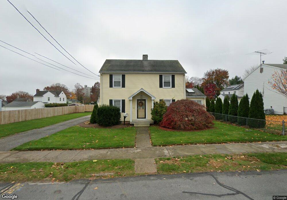
909 Clark St Bridgeport, CT 06606
North End NeighborhoodEstimated Value: $360,000 - $459,207
3
Beds
2
Baths
1,601
Sq Ft
$262/Sq Ft
Est. Value
About This Home
This home is located at 909 Clark St, Bridgeport, CT 06606 and is currently estimated at $420,052, approximately $262 per square foot. 909 Clark St is a home located in Fairfield County with nearby schools including Blackham School, Central High School, and Assumption Catholic School.
Ownership History
Date
Name
Owned For
Owner Type
Purchase Details
Closed on
Aug 25, 2010
Sold by
Valentino Joann
Bought by
Valentino Michael
Current Estimated Value
Create a Home Valuation Report for This Property
The Home Valuation Report is an in-depth analysis detailing your home's value as well as a comparison with similar homes in the area
Home Values in the Area
Average Home Value in this Area
Purchase History
We collect this data history from publicly available records. To have your information removed, we recommend requesting removal directly through your county’s website.
| Date | Buyer | Sale Price | Title Company |
|---|---|---|---|
| Valentino Michael | $36,250 | -- | |
| Valentino Michael | $36,250 | -- |
Source: Public Records
Mortgage History
We collect this data history from publicly available records. To have your information removed, we recommend requesting removal directly through your county’s website.
| Date | Status | Borrower | Loan Amount |
|---|---|---|---|
| Open | Valentino Michael | $33,765 | |
| Previous Owner | Valentino Michael | $201,570 | |
| Previous Owner | Valentino Michael | $20,000 |
Source: Public Records
Tax History
| Year | Tax Paid | Tax Assessment Tax Assessment Total Assessment is a certain percentage of the fair market value that is determined by local assessors to be the total taxable value of land and additions on the property. | Land | Improvement |
|---|---|---|---|---|
| 2025 | $7,108 | $163,590 | $78,330 | $85,260 |
| 2024 | $7,108 | $163,590 | $78,330 | $85,260 |
| 2023 | $7,108 | $163,590 | $78,330 | $85,260 |
| 2022 | $7,108 | $163,590 | $78,330 | $85,260 |
| 2021 | $7,108 | $163,590 | $78,330 | $85,260 |
| 2020 | $6,632 | $122,840 | $40,910 | $81,930 |
| 2019 | $6,632 | $122,840 | $40,910 | $81,930 |
| 2018 | $6,679 | $122,840 | $40,910 | $81,930 |
| 2017 | $6,679 | $122,840 | $40,910 | $81,930 |
| 2016 | $6,679 | $122,840 | $40,910 | $81,930 |
| 2015 | $6,616 | $156,780 | $49,510 | $107,270 |
| 2014 | $6,616 | $156,780 | $49,510 | $107,270 |
Source: Public Records
Map
Nearby Homes
- 855 Burnsford Ave
- 900 Merritt St
- 27 Plateau Ave
- 3300 Park Ave Unit 33
- 90 Toilsome Hill Rd
- 1099 Merritt St
- 150 Stratfield Place
- 78 Rena Place
- 3200 Park Ave Unit 5C2
- 838 Ruth St
- 669 Queen St
- 646 Merritt St
- 149 Ashton St
- 224 Homeland St
- 184 Rosemere Ave
- 300 Birmingham St
- 3845 Park Ave Unit 18
- 56 Peet St
- 520 Goldenrod Ave
- 375 Ruth St
- 914 Clark St
- 900 Clark St
- 1003 Birmingham St
- 997 Birmingham St
- 985 Birmingham St
- 886 Clark St
- 885 Clark St
- 975 Birmingham St
- 3470 Park Ave
- 3480 Park Ave
- 967 Birmingham St
- 868 Clark St
- 955 Birmingham St
- 873 Clark St
- 986 Thorme St
- 994 Birmingham St
- 1010 Birmingham St
- 3451 Park Ave
- 858 Clark St
- 984 Birmingham St
Your Personal Tour Guide
Ask me questions while you tour the home.