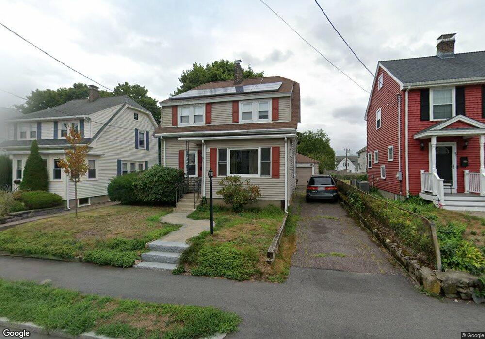
91 Beal Rd Waltham, MA 02453
Warrendale NeighborhoodEstimated Value: $831,000 - $914,000
3
Beds
2
Baths
1,708
Sq Ft
$512/Sq Ft
Est. Value
About This Home
This home is located at 91 Beal Rd, Waltham, MA 02453 and is currently estimated at $875,227, approximately $512 per square foot. 91 Beal Rd is a home located in Middlesex County with nearby schools including James Fitzgerald Elementary School, John W. Mcdevitt Middle School, and Waltham Sr High School.
Ownership History
Date
Name
Owned For
Owner Type
Purchase Details
Closed on
Feb 20, 2020
Sold by
Mayer William G and Logan Amy T
Bought by
91 Beal Road Rt
Current Estimated Value
Purchase Details
Closed on
Apr 30, 1996
Sold by
Siegert Herbert C and Siegert Michelle S
Bought by
Mayer William G
Purchase Details
Closed on
Sep 12, 1990
Sold by
Siegert Herbert C
Bought by
Siegert Herbert C
Create a Home Valuation Report for This Property
The Home Valuation Report is an in-depth analysis detailing your home's value as well as a comparison with similar homes in the area
Home Values in the Area
Average Home Value in this Area
Purchase History
We collect this data history from publicly available records. To have your information removed, we recommend requesting removal directly through your county’s website.
| Date | Buyer | Sale Price | Title Company |
|---|---|---|---|
| 91 Beal Road Rt | -- | None Available | |
| Mayer William G | $208,000 | -- | |
| Siegert Herbert C | $188,000 | -- |
Source: Public Records
Mortgage History
We collect this data history from publicly available records. To have your information removed, we recommend requesting removal directly through your county’s website.
| Date | Status | Borrower | Loan Amount |
|---|---|---|---|
| Previous Owner | Siegert Herbert C | $234,000 | |
| Previous Owner | Siegert Herbert C | $110,581 |
Source: Public Records
Tax History
| Year | Tax Paid | Tax Assessment Tax Assessment Total Assessment is a certain percentage of the fair market value that is determined by local assessors to be the total taxable value of land and additions on the property. | Land | Improvement |
|---|---|---|---|---|
| 2025 | $7,157 | $728,800 | $423,700 | $305,100 |
| 2024 | $6,801 | $705,500 | $403,200 | $302,300 |
| 2023 | $6,880 | $666,700 | $382,700 | $284,000 |
| 2022 | $6,970 | $625,700 | $355,300 | $270,400 |
| 2021 | $6,935 | $612,600 | $355,300 | $257,300 |
| 2020 | $6,759 | $565,600 | $328,000 | $237,600 |
| 2019 | $6,558 | $518,000 | $321,000 | $197,000 |
| 2018 | $5,976 | $473,900 | $297,300 | $176,600 |
| 2017 | $5,608 | $446,500 | $269,900 | $176,600 |
| 2016 | $5,005 | $408,900 | $232,300 | $176,600 |
| 2015 | $4,770 | $363,300 | $205,000 | $158,300 |
Source: Public Records
Map
Nearby Homes
- 78 Barbara Rd Unit 1
- 148 Main St
- 58 Madison Rd
- 601 Main St
- 49 Hollace St
- 11 Hersom St Unit 2
- 220 Grove St Unit 1
- 128 Carey Ave Unit 1
- 4 Repton Cir Unit 4105
- 4 Jensen Rd Unit 6
- 33 Charles St Unit 33
- 49 Waltham St Unit 49
- 16 Charles St Unit A
- 165 River St Unit 2
- 56 Ralph St Unit 3
- 172 Bright St Unit 3
- 27 Oakland St
- 94 Lexington St
- 66 Phillips Cir
- 34 Angela Ln
- 78 Barbara Rd Unit 2
- 76 Barbara Rd Unit 78
- 76-78 Barbara Rd
- 82-84 Barbara Rd Unit 1
- 82-84 Barbara Rd
- 72 Barbara Rd Unit 74
- 82 Barbara Rd Unit 84
- 75 Beal Rd
- 68 Barbara Rd
- 71 Beal Rd Unit 73
- 77 Beal Rd
- 79 Barbara Rd
- 73 Barbara Rd
- 88 Barbara Rd Unit 90
- 83 Barbara Rd
- 69 Barbara Rd
- 63 Beal Rd
- 87 Beal Rd
- 62 Barbara Rd
- 89 Barbara Rd
Your Personal Tour Guide
Ask me questions while you tour the home.