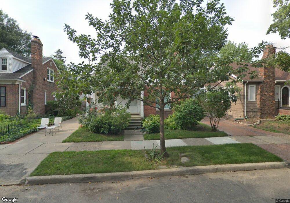
91 Mapleton Rd Grosse Pointe Farms, MI 48236
Grosse Pointe Farms AreaEstimated Value: $400,219 - $456,000
About This Home
This home is located at 91 Mapleton Rd, Grosse Pointe Farms, MI 48236 and is currently estimated at $420,805, approximately $305 per square foot. 91 Mapleton Rd is a home located in Wayne County with nearby schools including Richard Elementary School, Brownell Middle School, and Grosse Pointe South High School.
Ownership History
We collect this data history from publicly available records. To have your information removed, we recommend requesting removal directly through your county’s website.
Purchase Details
Purchase Details
Purchase Details
Home Values in the Area
Average Home Value in this Area
Purchase History
We collect this data history from publicly available records. To have your information removed, we recommend requesting removal directly through your county’s website.
| Date | Buyer | Sale Price | Title Company |
|---|---|---|---|
| -- | None Listed On Document | ||
| -- | None Listed On Document | ||
| $189,900 | -- |
Tax History
We collect this data history from publicly available records. To have your information removed, we recommend requesting removal directly through your county’s website.
| Year | Tax Paid | Tax Assessment Tax Assessment Total Assessment is a certain percentage of the fair market value that is determined by local assessors to be the total taxable value of land and additions on the property. | Land | Improvement |
|---|---|---|---|---|
| 2025 | $2,806 | $170,200 | $0 | $0 |
| 2024 | $2,638 | $161,400 | $0 | $0 |
| 2023 | $2,417 | $148,700 | $0 | $0 |
| 2022 | $2,417 | $136,300 | $0 | $0 |
| 2021 | $4,435 | $124,000 | $0 | $0 |
| 2019 | $4,361 | $113,100 | $0 | $0 |
| 2018 | $2,232 | $107,600 | $0 | $0 |
| 2017 | $3,873 | $104,600 | $0 | $0 |
| 2016 | $4,060 | $102,600 | $0 | $0 |
| 2015 | $8,041 | $88,700 | $0 | $0 |
| 2013 | $7,790 | $77,900 | $0 | $0 |
| 2012 | $2,072 | $77,900 | $14,900 | $63,000 |
Map
- 124 Muir Rd
- 8 Radnor Cir
- 93 Merriweather Rd
- 45 Lakecrest Ln
- 169 Mckinley Ave
- 161 Lothrop Rd
- 89 Lake Shore Rd
- 512 Washington Rd
- 276 Lewiston Rd
- 675 Fisher Rd
- 259 Mount Vernon Ave
- 355 Lincoln Rd
- 189 Cloverly Rd
- 278 Fisher Rd
- 294 Lincoln Rd
- 264 Grosse Pointe Blvd
- 637 Washington Rd
- 312 Mckinley Ave
- 277 Lincoln Rd
- 310 Moran Rd
- 100 Mapleton Rd
- 98 Mapleton Rd
- 104 Mapleton Rd
- 96 Mapleton Rd
- 108 Mapleton Rd
- 103 Mapleton Rd
- 101 Lewiston Rd
- 105 Mapleton Rd
- 101 Mapleton Rd Unit Bldg-Unit
- 101 Mapleton Rd
- 92 Mapleton Rd
- 95 Lewiston Rd
- 112 Mapleton Rd
- 95 Mapleton Rd
- 109 Mapleton Rd
- 90 Mapleton Rd
- 114 Mapleton Rd
- 111 Mapleton Rd
- 107 Lewiston Rd
- 104 Muir Rd
Ask me questions while you tour the home.