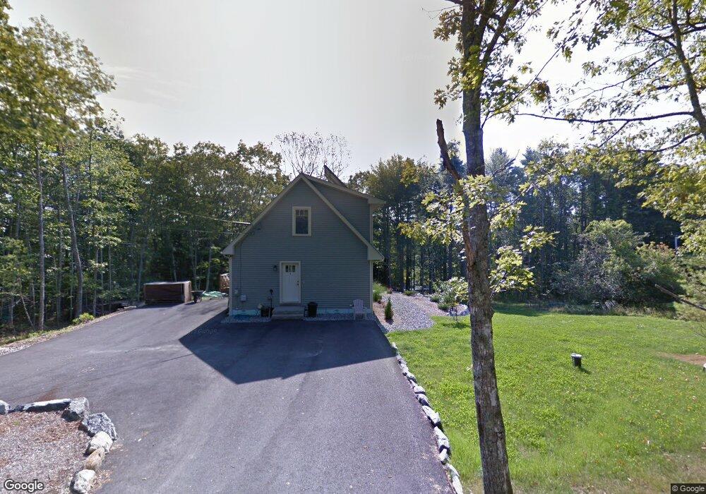
91 Peabody Rd Harpswell, ME 04079
Harpswell Neck NeighborhoodEstimated Value: $535,757 - $657,000
About This Home
This home is located at 91 Peabody Rd, Harpswell, ME 04079 and is currently estimated at $613,586, approximately $405 per square foot. 91 Peabody Rd is a home with nearby schools including Mt Ararat High School.
Ownership History
We collect this data history from publicly available records. To have your information removed, we recommend requesting removal directly through your county’s website.
Purchase Details
Home Financials for this Owner
Home Financials are based on the most recent Mortgage that was taken out on this home.Home Values in the Area
Average Home Value in this Area
Purchase History
We collect this data history from publicly available records. To have your information removed, we recommend requesting removal directly through your county’s website.
| Date | Buyer | Sale Price | Title Company |
|---|---|---|---|
| -- | -- |
Mortgage History
We collect this data history from publicly available records. To have your information removed, we recommend requesting removal directly through your county’s website.
| Date | Status | Borrower | Loan Amount |
|---|---|---|---|
| Open | $262,500 |
Tax History
We collect this data history from publicly available records. To have your information removed, we recommend requesting removal directly through your county’s website.
| Year | Tax Paid | Tax Assessment Tax Assessment Total Assessment is a certain percentage of the fair market value that is determined by local assessors to be the total taxable value of land and additions on the property. | Land | Improvement |
|---|---|---|---|---|
| 2025 | $2,378 | $357,000 | $71,200 | $285,800 |
| 2024 | $2,271 | $357,000 | $71,200 | $285,800 |
| 2023 | $2,178 | $357,000 | $71,200 | $285,800 |
| 2022 | $2,106 | $357,000 | $71,200 | $285,800 |
| 2021 | $2,027 | $299,800 | $66,000 | $233,800 |
| 2020 | $2,021 | $299,800 | $66,000 | $233,800 |
| 2019 | $2,009 | $299,800 | $66,000 | $233,800 |
| 2018 | $1,943 | $299,800 | $66,000 | $233,800 |
| 2017 | $1,937 | $299,800 | $66,000 | $233,800 |
| 2016 | $1,793 | $280,200 | $66,000 | $214,200 |
| 2015 | $1,748 | $280,200 | $66,000 | $214,200 |
| 2013 | $1,605 | $277,700 | $66,000 | $211,700 |
Map
- 14 Walini Way
- 391 Harpswell Neck Rd
- 30 Driftwood Tide Ln
- Lot # 22 Map 80
- 64 High Head Rd
- Map 80 Lot 18-0 White Island
- Map 80 Lot 18-0 White Island
- 633 Harpswell Rd
- 501 Mere Point Rd
- 37 & 38 S Dyers Cove Rd
- 9 + 11 Orion Point Way
- 3 Rd
- 25 Bernier Ln
- 0 Mere Point Rd
- 121 Brickyard Cove Rd
- 646 Gurnet Rd
- Lot #079 Eastern Shore Rd
- 154 Indian Rest Rd
- 8 Derek Way
- 618 Gurnet Rd
- Off Peabody Rd
- 88 Peabody Rd
- 282 Harpswell Neck Rd
- 276 Harpswell Neck Rd
- 0 Harpswell Neck (Eagle's Nest) Rd Unit 1405167
- 298 Harpswell Neck Rd
- 55 Peabody Rd
- 0 Eagles Nest Way Unit 1433297
- 0 Eagles Nest Way Unit 1445687
- 258 Harpswell Neck Rd
- 000 Harpswell Neck Rd
- 26 Pinecrest Rd
- 259 Harpswell Neck Rd
- 267 Harpswell Neck Rd
- 2 Otter Brook
- 0001 Harpswell Neck Rd
- 15 Dragonfly Ln
- Lot 2 Saltwater Reach
- 0 Harpswell Neck Rd Unit 1615782
- 0 Harpswell Neck Rd Unit 817415
Ask me questions while you tour the home.