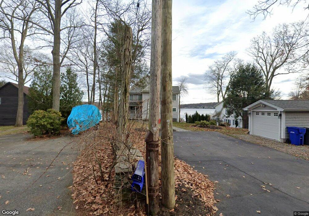
91 W Shore Dr Coventry, CT 06238
Estimated Value: $761,000 - $1,193,000
5
Beds
5
Baths
2,472
Sq Ft
$388/Sq Ft
Est. Value
About This Home
This home is located at 91 W Shore Dr, Coventry, CT 06238 and is currently estimated at $960,243, approximately $388 per square foot. 91 W Shore Dr is a home located in Tolland County with nearby schools including George Hersey Robertson School, Coventry Grammar School, and Capt. Nathan Hale School.
Ownership History
Date
Name
Owned For
Owner Type
Purchase Details
Closed on
Sep 9, 2013
Sold by
Thomson-Taormina Marion
Bought by
Thomson-Taomina Tr Marion
Current Estimated Value
Purchase Details
Closed on
Jun 18, 2013
Sold by
Mellon Dorothy T
Bought by
Taormina Tr Marion J and Taormina Louis C
Home Financials for this Owner
Home Financials are based on the most recent Mortgage that was taken out on this home.
Original Mortgage
$136,000
Interest Rate
3.39%
Mortgage Type
New Conventional
Create a Home Valuation Report for This Property
The Home Valuation Report is an in-depth analysis detailing your home's value as well as a comparison with similar homes in the area
Home Values in the Area
Average Home Value in this Area
Purchase History
| Date | Buyer | Sale Price | Title Company |
|---|---|---|---|
| Thomson-Taomina Tr Marion | -- | -- | |
| Taormina Tr Marion J | $170,000 | -- | |
| Thomson-Taomina Tr Marion | -- | -- | |
| Taormina Tr Marion J | $170,000 | -- |
Source: Public Records
Mortgage History
| Date | Status | Borrower | Loan Amount |
|---|---|---|---|
| Previous Owner | Taormina Tr Marion J | $136,000 |
Source: Public Records
Tax History
| Year | Tax Paid | Tax Assessment Tax Assessment Total Assessment is a certain percentage of the fair market value that is determined by local assessors to be the total taxable value of land and additions on the property. | Land | Improvement |
|---|---|---|---|---|
| 2025 | $15,290 | $643,500 | $279,300 | $364,200 |
| 2024 | $13,757 | $413,000 | $187,300 | $225,700 |
| 2023 | $13,109 | $413,000 | $187,300 | $225,700 |
| 2022 | $12,865 | $413,000 | $187,300 | $225,700 |
| 2021 | $12,865 | $413,000 | $187,300 | $225,700 |
| 2020 | $12,873 | $413,000 | $187,300 | $225,700 |
| 2019 | $13,308 | $413,300 | $187,300 | $226,000 |
| 2018 | $12,716 | $394,900 | $170,200 | $224,700 |
| 2017 | $12,637 | $394,900 | $170,200 | $224,700 |
| 2016 | $12,321 | $394,900 | $170,200 | $224,700 |
| 2015 | $7,188 | $230,400 | $170,200 | $60,200 |
| 2014 | $6,505 | $228,500 | $163,900 | $64,600 |
Source: Public Records
Map
Nearby Homes
- 112 John Hand Dr
- 152 Cheney Ln
- 0 Daly Rd Unit 24146464
- 2392 Main St
- 2288 Main St
- 112 Fitzgerald Blvd
- 0 Seneca Trail
- 0 Hinkel Mae Dr
- 17 Ireland Dr
- 66 Midland Rd
- 220 Springdale Ave
- 109 Sam Green Rd
- 23 Pine Knoll Dr
- 16 Gardner Tavern Rd
- 14 Juniper Dr Unit 13,14
- 0 Woodland Rd
- 312 Shore Dr
- 316 Shore Dr
- 864 Boston Turnpike
- 280 Root Rd
- 87 W Shore Dr
- 93 W Shore Dr
- 75 W Shore Dr
- 105 W Shore Dr
- 113 W Shore Dr
- 67 W Shore Dr
- 5 John Hand Dr
- 23 John Hand Dr
- 135 W Shore Dr
- 113 Bellevue Dr
- 128 Bellevue Dr
- 120 W Shore Dr
- 119 W Shore Dr
- 49 W Shore Dr
- 12 John Hand Dr
- 4 John Hand Dr
- 43 John Hand Dr
- 638 Wigts Mill Rd
- 24 John Hand Dr
- Lot 5 Babcock Hill Rd
Your Personal Tour Guide
Ask me questions while you tour the home.