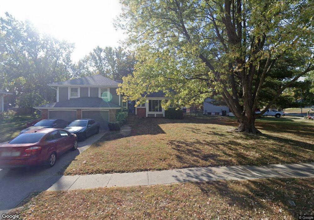
910 Dunwich Dr Liberty, MO 64068
Estimated Value: $311,361 - $338,000
About This Home
This home is located at 910 Dunwich Dr, Liberty, MO 64068 and is currently estimated at $325,590, approximately $212 per square foot. 910 Dunwich Dr is a home located in Clay County with nearby schools including Alexander Doniphan Elementary School, Liberty Middle School, and Liberty High School.
Ownership History
We collect this data history from publicly available records. To have your information removed, we recommend requesting removal directly through your county’s website.
Purchase Details
Home Financials for this Owner
Home Financials are based on the most recent Mortgage that was taken out on this home.Home Values in the Area
Average Home Value in this Area
Purchase History
We collect this data history from publicly available records. To have your information removed, we recommend requesting removal directly through your county’s website.
| Date | Buyer | Sale Price | Title Company |
|---|---|---|---|
| -- | Thomson Title Corp |
Mortgage History
We collect this data history from publicly available records. To have your information removed, we recommend requesting removal directly through your county’s website.
| Date | Status | Borrower | Loan Amount |
|---|---|---|---|
| Open | $88,000 |
Tax History
We collect this data history from publicly available records. To have your information removed, we recommend requesting removal directly through your county’s website.
| Year | Tax Paid | Tax Assessment Tax Assessment Total Assessment is a certain percentage of the fair market value that is determined by local assessors to be the total taxable value of land and additions on the property. | Land | Improvement |
|---|---|---|---|---|
| 2025 | -- | $40,450 | -- | -- |
| 2024 | $2,708 | $35,210 | -- | -- |
| 2023 | $2,754 | $35,210 | $0 | $0 |
| 2022 | $2,556 | $32,260 | $0 | $0 |
| 2021 | $2,536 | $32,262 | $7,220 | $25,042 |
| 2020 | $2,592 | $30,970 | $0 | $0 |
| 2019 | $2,592 | $30,970 | $0 | $0 |
| 2018 | $2,280 | $26,750 | $0 | $0 |
| 2017 | $2,259 | $26,750 | $4,560 | $22,190 |
| 2016 | $2,259 | $26,750 | $4,560 | $22,190 |
| 2015 | $2,259 | $26,750 | $4,560 | $22,190 |
| 2014 | $2,164 | $25,420 | $4,370 | $21,050 |
Map
- 1509 Wynbrick Dr
- 1233 Old Manor Rd
- 1229 Westboro Cir
- 1308 Middlebrook Dr
- 1605 High Dr
- 1913 CeMcO Dr
- 809 Lindenwood Ln
- 1310 Amesbury Ave
- 1327 Huntington Dr
- 1500 Amesbury Ave
- 253 S Stewart Rd
- 986 Wellington Way
- 1561 Parkside Dr
- 1505 Ashton Dr
- 512 Brentwood Dr
- 656 Thornton St
- 194 Camelot Dr
- 908 Glendale Rd
- 506 Moss Ave
- 1830 Parkside Dr
- 916 Dunwich Dr
- 906 Dunwich Dr
- 922 Dunwich Dr
- 915 Canterbury Ln
- 902 Dunwich Dr
- 854 York Place
- 863 Dunwich Dr
- 928 Dunwich Dr
- 901 Dunwich Dr
- 859 Canterbury Ln
- 907 Dunwich Dr
- 923 Canterbury Ln
- 913 Dunwich Dr
- 934 Dunwich Dr
- 853 Canterbury Ln
- 850 York Place
- 929 Canterbury Ln
- 847 York Place
- 1003 Essex St
- 919 Dunwich Dr
Ask me questions while you tour the home.