91071 N Skinner St Eugene, OR 97408
Coburg NeighborhoodEstimated Value: $404,895 - $462,000
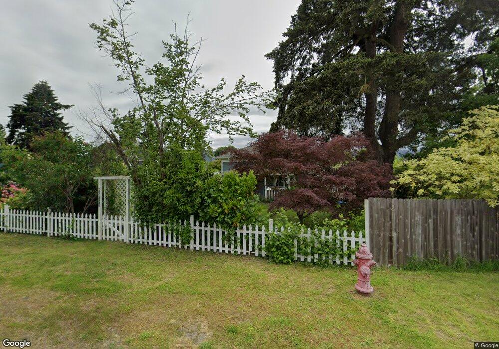
About This Home
This home is located at 91071 N Skinner St, Eugene, OR 97408 and is currently estimated at $433,974, approximately $347 per square foot. 91071 N Skinner St is a home located in Lane County with nearby schools including Gilham Elementary School, Cal Young Middle School, and Sheldon High School.
Ownership History
We collect this data history from publicly available records. To have your information removed, we recommend requesting removal directly through your county’s website.
Purchase Details
Home Financials for this Owner
Home Financials are based on the most recent Mortgage that was taken out on this home.Purchase Details
Home Financials for this Owner
Home Financials are based on the most recent Mortgage that was taken out on this home.Home Values in the Area
Average Home Value in this Area
Purchase History
We collect this data history from publicly available records. To have your information removed, we recommend requesting removal directly through your county’s website.
| Date | Buyer | Sale Price | Title Company |
|---|---|---|---|
| $145,500 | Western Pioneer Title Co | ||
| -- | Oregon Title Insurance Co |
Mortgage History
We collect this data history from publicly available records. To have your information removed, we recommend requesting removal directly through your county’s website.
| Date | Status | Borrower | Loan Amount |
|---|---|---|---|
| Open | $141,100 | ||
| Previous Owner | $90,000 |
Tax History
We collect this data history from publicly available records. To have your information removed, we recommend requesting removal directly through your county’s website.
| Year | Tax Paid | Tax Assessment Tax Assessment Total Assessment is a certain percentage of the fair market value that is determined by local assessors to be the total taxable value of land and additions on the property. | Land | Improvement |
|---|---|---|---|---|
| 2025 | $2,322 | $140,470 | -- | -- |
| 2024 | $2,298 | $136,379 | -- | -- |
| 2023 | $2,298 | $132,407 | $0 | $0 |
| 2022 | $2,161 | $128,551 | $0 | $0 |
| 2021 | $2,008 | $124,807 | $0 | $0 |
| 2020 | $2,032 | $121,172 | $0 | $0 |
| 2019 | $1,961 | $117,643 | $0 | $0 |
| 2018 | $1,828 | $110,890 | $0 | $0 |
| 2017 | $1,755 | $110,890 | $0 | $0 |
| 2016 | $1,705 | $107,660 | $0 | $0 |
| 2015 | $1,663 | $104,524 | $0 | $0 |
| 2014 | $1,589 | $101,480 | $0 | $0 |
Map
- 32781 E Pearl St
- 32633 W Mckenzie St
- 32671 Vintage Way
- 91213 N Harrison St
- 91247 N Willamette St
- 91318 Coburg Rd
- 90611 Coburg Rd
- 33626 Paiute Ln
- 0 Diamond Ridge Loop Unit 712962163
- 91298 Oak Crest Rd
- 33685 van Duyn Rd
- 3950 Coburg Rd Unit 83
- 3950 Coburg Rd Unit 3
- 33192 Wilkins Rd
- 91606 Coburg Rd
- 90834 Coburghills Dr
- 2251 Lathen Way
- 2138 Country Haven Dr
- 3735 Norwich Ave
- 1930 Sterling Park Place
- 32738 E Lincoln St
- 91061 S Skinner St
- 32715 E Pearl St
- 32729 E Lincoln St
- 32746 E Lincoln St
- 91080 N Skinner St
- 32739 E Lincoln St
- 91051 S Skinner St
- 32747 E Lincoln Way
- 91088 N Skinner St
- 32746 E Pearl St
- 91070 N Coleman St
- 32747 E Lincoln St
- 91043 S Skinner St
- 91099 N Skinner St
- 32755 E Lincoln St
- 32743 E Delaney St
- 32738 E Mckenzie St
- 91046 S Skinner St
- 91050 S Coleman St
Ask me questions while you tour the home.