Estimated Value: $221,459 - $273,000
About This Home
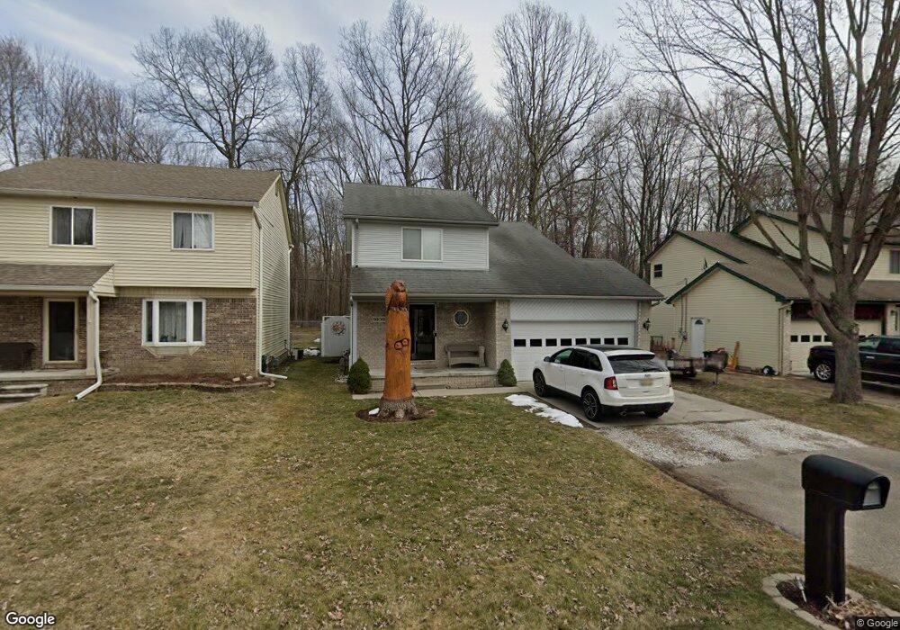
This home is located at 9109 Maple Rd, Clay, MI 48001 and is currently estimated at $242,615, approximately $192 per square foot. 9109 Maple Rd is a home located in St. Clair County.
Ownership History
We collect this data history from publicly available records. To have your information removed, we recommend requesting removal directly through your county’s website.
Purchase Details
Home Financials for this Owner
Home Financials are based on the most recent Mortgage that was taken out on this home.Home Values in the Area
Average Home Value in this Area
Purchase History
We collect this data history from publicly available records. To have your information removed, we recommend requesting removal directly through your county’s website.
| Date | Buyer | Sale Price | Title Company |
|---|---|---|---|
| -- | Performance Title Inc |
Mortgage History
We collect this data history from publicly available records. To have your information removed, we recommend requesting removal directly through your county’s website.
| Date | Status | Borrower | Loan Amount |
|---|---|---|---|
| Closed | $139,847 | ||
| Closed | $150,165 | ||
| Closed | $148,829 | ||
| Closed | $199,550 |
Tax History
We collect this data history from publicly available records. To have your information removed, we recommend requesting removal directly through your county’s website.
| Year | Tax Paid | Tax Assessment Tax Assessment Total Assessment is a certain percentage of the fair market value that is determined by local assessors to be the total taxable value of land and additions on the property. | Land | Improvement |
|---|---|---|---|---|
| 2025 | $942 | $97,800 | $0 | $0 |
| 2024 | $924 | $91,500 | $0 | $0 |
| 2023 | $890 | $86,000 | $0 | $0 |
| 2022 | $1,605 | $78,700 | $0 | $0 |
| 2020 | $1,514 | $72,100 | $72,100 | $0 |
| 2019 | $1,490 | $64,400 | $0 | $0 |
| 2018 | $1,465 | $53,500 | $0 | $0 |
| 2017 | $1,349 | $51,800 | $0 | $0 |
| 2016 | $731 | $51,800 | $0 | $0 |
| 2015 | -- | $48,800 | $48,800 | $0 |
| 2014 | -- | $37,700 | $37,700 | $0 |
| 2013 | -- | $37,100 | $0 | $0 |
Map
- 9279 Oakdale St
- 9309 Oakdale
- 9083 Island Dr
- 24 Vacant Lots Land
- 3915 Fruit St
- 4460 Taft Rd
- 9472 Lakepointe Blvd
- 3203 Fruit St
- 00 Dickinson Island
- 3099 Fruit St
- 9445 Folkert Rd
- 0000 Taft Rd
- 00 Taft Rd
- 9211 Folkert Rd
- 5387 Nautical Ct Unit 161
- 9231 Harbor Ln Unit 246
- 9145 Folkert Rd
- 9072 Windward Dr Unit 198
- 9761 Marina Cir Unit 292
- 9017 Stone Rd
Ask me questions while you tour the home.