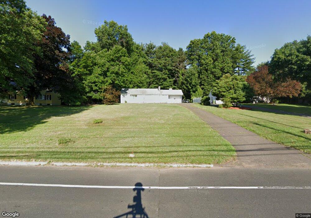
911 Poquonock Ave Windsor, CT 06095
West Windsor NeighborhoodEstimated Value: $234,000 - $283,672
3
Beds
1
Bath
1,170
Sq Ft
$228/Sq Ft
Est. Value
About This Home
This home is located at 911 Poquonock Ave, Windsor, CT 06095 and is currently estimated at $267,168, approximately $228 per square foot. 911 Poquonock Ave is a home located in Hartford County with nearby schools including Oliver Ellsworth School, John F. Kennedy School, and Sage Park Middle School.
Ownership History
Date
Name
Owned For
Owner Type
Purchase Details
Closed on
Jan 24, 2002
Sold by
Connable Eleanor Est and Wall
Bought by
Daley Patrick
Current Estimated Value
Home Financials for this Owner
Home Financials are based on the most recent Mortgage that was taken out on this home.
Original Mortgage
$84,600
Outstanding Balance
$34,670
Interest Rate
7.08%
Mortgage Type
Purchase Money Mortgage
Estimated Equity
$232,498
Create a Home Valuation Report for This Property
The Home Valuation Report is an in-depth analysis detailing your home's value as well as a comparison with similar homes in the area
Home Values in the Area
Average Home Value in this Area
Purchase History
| Date | Buyer | Sale Price | Title Company |
|---|---|---|---|
| Daley Patrick | $94,000 | -- |
Source: Public Records
Mortgage History
| Date | Status | Borrower | Loan Amount |
|---|---|---|---|
| Open | Daley Patrick | $84,600 |
Source: Public Records
Tax History
| Year | Tax Paid | Tax Assessment Tax Assessment Total Assessment is a certain percentage of the fair market value that is determined by local assessors to be the total taxable value of land and additions on the property. | Land | Improvement |
|---|---|---|---|---|
| 2025 | $4,833 | $169,890 | $63,420 | $106,470 |
| 2024 | $5,151 | $169,890 | $63,420 | $106,470 |
| 2023 | $3,756 | $111,790 | $45,920 | $65,870 |
| 2022 | $3,719 | $111,790 | $45,920 | $65,870 |
| 2021 | $3,719 | $111,790 | $45,920 | $65,870 |
| 2020 | $3,701 | $111,790 | $45,920 | $65,870 |
| 2019 | $3,620 | $111,790 | $45,920 | $65,870 |
| 2018 | $3,521 | $106,820 | $45,920 | $60,900 |
| 2017 | $3,466 | $106,820 | $45,920 | $60,900 |
| 2016 | $3,367 | $106,820 | $45,920 | $60,900 |
| 2015 | $3,303 | $106,820 | $45,920 | $60,900 |
| 2014 | $3,255 | $106,820 | $45,920 | $60,900 |
Source: Public Records
Map
Nearby Homes
- 490 Old Day Hill Rd
- 10 Faldu Rd
- 268 High Path Rd Unit 268
- 1 Deanne Lynn Cir
- 136 High Path Rd
- 943 High Path Rd Unit 943
- 98 High Path Rd
- 24 Mary Catherine Cir
- 5 Haskins Rd Unit 5
- 106 Rockybrook
- 246 Kenswick Ln Unit 246
- 135 East St
- 36 Pilgrim Dr
- 39 Warham St
- 105 Sunrise Cir
- 10 Cleary Ln
- 31 Woodduck Farms Rd
- 625 Palisado Ave Unit 313
- 39 Old Kennedy Rd
- 9 Brown Ave
- 919 Poquonock Ave
- 901 Poquonock Ave
- 927 Poquonock Ave
- 935 Poquonock Ave
- 28 Cornfield Rd
- 4 Brentwood Ln
- 24 Cornfield Rd
- 32 Cornfield Rd
- 945 Poquonock Ave
- 910 Poquonock Ave
- 3 Brentwood Ln
- 20 Cornfield Rd
- 900 Poquonock Ave
- 875 Poquonock Ave
- 955 Poquonock Ave
- 890 Poquonock Ave
- 8 Brentwood Ln
- 55 Hudson Ln
- 53 Hudson Ln
- 57 Hudson Ln
Your Personal Tour Guide
Ask me questions while you tour the home.