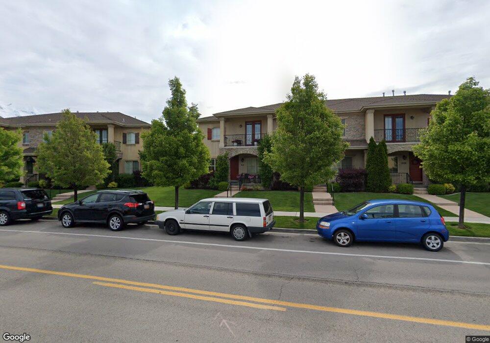
912 N 960 W Orem, UT 84057
Bonneville NeighborhoodEstimated Value: $489,000 - $514,119
3
Beds
3
Baths
1,714
Sq Ft
$291/Sq Ft
Est. Value
About This Home
This home is located at 912 N 960 W, Orem, UT 84057 and is currently estimated at $499,040, approximately $291 per square foot. 912 N 960 W is a home located in Utah County with nearby schools including Bonneville Elementary School, Orem Junior High School, and Timpanogos High School.
Ownership History
Date
Name
Owned For
Owner Type
Purchase Details
Closed on
Feb 15, 2024
Sold by
Messick Owen K and Messick Athena
Bought by
Messick Family Trust and Messick
Current Estimated Value
Purchase Details
Closed on
May 21, 2021
Sold by
Barry Dean and Barry Jennifer L
Bought by
Messick Owen K and Messick Athena
Purchase Details
Closed on
Jul 29, 2013
Sold by
Barry Dean
Bought by
Barry Dean and Barry Jennifer L
Purchase Details
Closed on
Sep 4, 2012
Sold by
Diane Anita
Bought by
Berry Dean
Home Financials for this Owner
Home Financials are based on the most recent Mortgage that was taken out on this home.
Original Mortgage
$183,200
Interest Rate
3.55%
Mortgage Type
New Conventional
Purchase Details
Closed on
Jun 27, 2007
Sold by
Gunsmoke Properties Llc
Bought by
Diane Anita
Home Financials for this Owner
Home Financials are based on the most recent Mortgage that was taken out on this home.
Original Mortgage
$207,886
Interest Rate
6.12%
Mortgage Type
Purchase Money Mortgage
Create a Home Valuation Report for This Property
The Home Valuation Report is an in-depth analysis detailing your home's value as well as a comparison with similar homes in the area
Home Values in the Area
Average Home Value in this Area
Purchase History
| Date | Buyer | Sale Price | Title Company |
|---|---|---|---|
| Messick Family Trust | -- | None Listed On Document | |
| Messick Owen K | -- | Utah First Title Ins Agency | |
| Barry Dean | -- | Provo Land Title Co | |
| Berry Dean | -- | Provo Land Title Company | |
| Diane Anita | -- | Provo Land Title Company | |
| Gunsmoke Properties Llc | -- | Provo Land Title Company |
Source: Public Records
Mortgage History
| Date | Status | Borrower | Loan Amount |
|---|---|---|---|
| Previous Owner | Berry Dean | $183,200 | |
| Previous Owner | Diane Anita | $207,886 |
Source: Public Records
Tax History
| Year | Tax Paid | Tax Assessment Tax Assessment Total Assessment is a certain percentage of the fair market value that is determined by local assessors to be the total taxable value of land and additions on the property. | Land | Improvement |
|---|---|---|---|---|
| 2025 | $2,028 | $264,880 | -- | -- |
| 2024 | $2,028 | $247,995 | $0 | $0 |
| 2023 | $1,837 | $241,450 | $0 | $0 |
| 2022 | $1,870 | $238,095 | $0 | $0 |
| 2021 | $1,688 | $325,500 | $48,800 | $276,700 |
| 2020 | $1,635 | $309,900 | $46,500 | $263,400 |
| 2019 | $1,518 | $299,100 | $44,900 | $254,200 |
| 2018 | $1,434 | $270,000 | $40,500 | $229,500 |
| 2017 | $1,472 | $148,500 | $0 | $0 |
| 2016 | $1,466 | $136,400 | $0 | $0 |
| 2015 | $1,550 | $136,400 | $0 | $0 |
| 2014 | $1,470 | $128,700 | $0 | $0 |
Source: Public Records
Map
Nearby Homes
- 1015 N 995 W
- 999 W 1100 N
- 1004 N 1090 W Unit 203
- 1140 W 950 N Unit D302
- 1140 W 950 N Unit E202
- 1140 W 950 N Unit D304
- 1123 N 800 W
- 954 W 630 N Unit 34,
- 686 N 835 W
- 645 W 920 N
- 1058 W 570 St N
- 1230 N 685 W
- 875 W 530 N
- 510 N 940 W
- 557 N Emery Ave
- 538 W 1120 N
- 1094 W 465 N
- 663 N 550 W
- 1405 N 770 W
- 1244 N 580 W
Your Personal Tour Guide
Ask me questions while you tour the home.