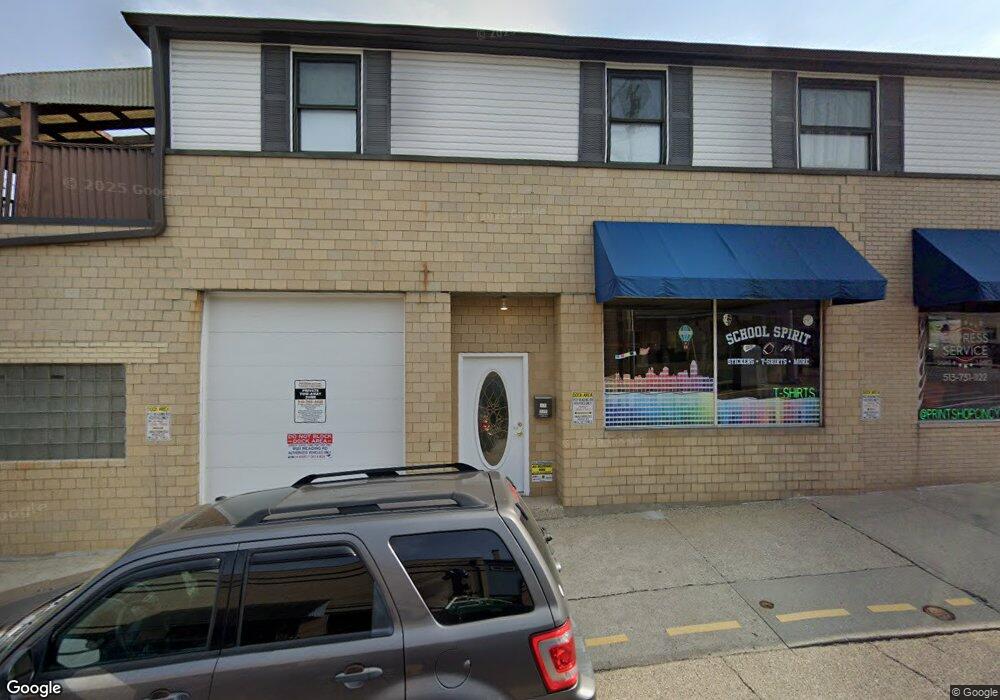
9121 Reading Rd Cincinnati, OH 45215
Estimated Value: $388,588
About This Home
This home is located at 9121 Reading Rd, Cincinnati, OH 45215 and is currently estimated at $388,588, approximately $65 per square foot. 9121 Reading Rd is a home located in Hamilton County with nearby schools including Reading Community High School.
Ownership History
We collect this data history from publicly available records. To have your information removed, we recommend requesting removal directly through your county’s website.
Purchase Details
Purchase Details
Home Financials for this Owner
Home Financials are based on the most recent Mortgage that was taken out on this home.Home Values in the Area
Average Home Value in this Area
Purchase History
We collect this data history from publicly available records. To have your information removed, we recommend requesting removal directly through your county’s website.
| Date | Buyer | Sale Price | Title Company |
|---|---|---|---|
| $197,000 | None Available | ||
| $128,000 | -- |
Mortgage History
We collect this data history from publicly available records. To have your information removed, we recommend requesting removal directly through your county’s website.
| Date | Status | Borrower | Loan Amount |
|---|---|---|---|
| Previous Owner | $87,000 |
Tax History
We collect this data history from publicly available records. To have your information removed, we recommend requesting removal directly through your county’s website.
| Year | Tax Paid | Tax Assessment Tax Assessment Total Assessment is a certain percentage of the fair market value that is determined by local assessors to be the total taxable value of land and additions on the property. | Land | Improvement |
|---|---|---|---|---|
| 2025 | $5,040 | $61,226 | $13,664 | $47,562 |
| 2023 | $5,032 | $61,226 | $13,664 | $47,562 |
| 2022 | $5,982 | $62,759 | $12,968 | $49,791 |
| 2021 | $5,311 | $62,759 | $12,968 | $49,791 |
| 2020 | $5,337 | $62,759 | $12,968 | $49,791 |
| 2019 | $5,523 | $60,932 | $12,590 | $48,342 |
| 2018 | $5,544 | $60,932 | $12,590 | $48,342 |
| 2017 | $5,361 | $60,932 | $12,590 | $48,342 |
| 2016 | $5,492 | $62,280 | $11,764 | $50,516 |
| 2015 | $5,490 | $62,280 | $11,764 | $50,516 |
| 2014 | $5,004 | $62,280 | $11,764 | $50,516 |
| 2013 | $5,029 | $63,553 | $12,005 | $51,548 |
Map
- 116 Pike St
- 1220 3rd St
- 1423 Market St
- 4111 North St
- 221 E Mechanic St
- 311 W Vine St
- 329 Walnut St
- 1421 Jefferson Ave
- 654 3rd St
- 806 Wachendorf St
- 435 Pearl St
- 1525 Westview Ct
- 1612 Hunt Rd
- 68 Gorman Ln
- 0 Hill St Unit 1616370
- 58 Gorman Ln
- 228 Central Ave
- 54 Gorman Ln
- 321 Southern Ave
- 301 Central Ave
- 9111 Reading Rd
- 12 W Vine St
- 9105 Reading Rd
- 9107 Reading Rd
- 11 W Vine St
- 16 W Vine St
- 9101 Reading Rd
- 0 Pearl St Unit 28 1108215
- 0 Pearl St Unit 30 1169605
- 0 Pearl St Unit 45 1169637
- 0 Pearl St Unit 13 1169634
- 0 Pearl St Unit 49 1169640
- 0 Pearl St Unit 14 1169540
- 0 Pearl St Unit 67 1169533
- 0 Pearl St Unit 8 1169444
- 0 Pearl St Unit 2 1169464
- 0 Pearl St Unit 1286804
- 0 Pearl St Unit 30 1292232
- 0 Pearl St Unit 8, 13 1292235
- 0 Pearl St Unit 67 1292234
Ask me questions while you tour the home.