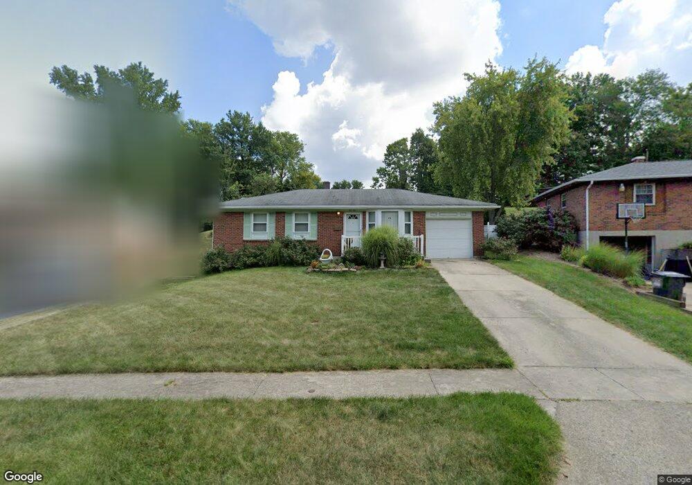
9126 Tag Dr Cincinnati, OH 45231
Mount Healthy AreaEstimated Value: $186,000 - $211,000
About This Home
This home is located at 9126 Tag Dr, Cincinnati, OH 45231 and is currently estimated at $200,257, approximately $203 per square foot. 9126 Tag Dr is a home located in Hamilton County with nearby schools including Mt Healthy High School, Central Montessori Academy, and Our Lady of Grace Catholic School.
Ownership History
We collect this data history from publicly available records. To have your information removed, we recommend requesting removal directly through your county’s website.
Purchase Details
Purchase Details
Home Values in the Area
Average Home Value in this Area
Purchase History
We collect this data history from publicly available records. To have your information removed, we recommend requesting removal directly through your county’s website.
| Date | Buyer | Sale Price | Title Company |
|---|---|---|---|
| -- | -- | ||
| -- | -- |
Mortgage History
We collect this data history from publicly available records. To have your information removed, we recommend requesting removal directly through your county’s website.
| Date | Status | Borrower | Loan Amount |
|---|---|---|---|
| Open | $140,300 | ||
| Closed | $50,000 | ||
| Closed | $140,400 | ||
| Closed | $25,000 | ||
| Closed | $93,600 | ||
| Closed | $9,707 | ||
| Closed | $78,600 | ||
| Closed | $14,632 |
Tax History
We collect this data history from publicly available records. To have your information removed, we recommend requesting removal directly through your county’s website.
| Year | Tax Paid | Tax Assessment Tax Assessment Total Assessment is a certain percentage of the fair market value that is determined by local assessors to be the total taxable value of land and additions on the property. | Land | Improvement |
|---|---|---|---|---|
| 2025 | $2,890 | $49,620 | $10,500 | $39,120 |
| 2024 | $2,864 | $49,620 | $10,500 | $39,120 |
| 2023 | $2,721 | $49,620 | $10,500 | $39,120 |
| 2022 | $2,420 | $31,756 | $9,909 | $21,847 |
| 2021 | $2,355 | $31,756 | $9,909 | $21,847 |
| 2020 | $2,391 | $31,756 | $9,909 | $21,847 |
| 2019 | $2,168 | $26,912 | $8,397 | $18,515 |
| 2018 | $2,180 | $26,912 | $8,397 | $18,515 |
| 2017 | $2,069 | $26,912 | $8,397 | $18,515 |
| 2016 | $2,109 | $27,052 | $8,316 | $18,736 |
| 2015 | $2,126 | $27,052 | $8,316 | $18,736 |
| 2014 | $2,116 | $27,052 | $8,316 | $18,736 |
| 2013 | $2,433 | $31,826 | $9,783 | $22,043 |
Map
- 9326 Ranchill Dr
- 9361 Ranchill Dr
- 7401 Forest Ave
- 9108 Orangewood Dr
- 9168 Orangewood Dr
- 9380 Jericho Dr
- 7431 Werner Ave
- 9287 Coogan Dr
- 7408 Maple Ave
- 9173 Neil Dr
- 1730 Kinney Ave
- 8777 Morningstar Ln
- 8769 Zodiac Dr
- 8001 Hamilton Ave Unit 27
- 9697 Fallsridge Ct
- 1975 S Lynndale Ave
- 7821 Perry St
- 8884 Pippin Rd
- 2700 Compton Rd
- 2516 Niagara St
Ask me questions while you tour the home.