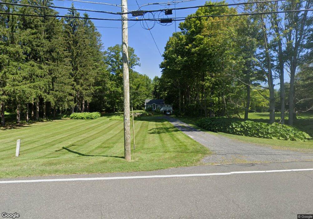
913 Summit Rd Pittsfield, MA 01201
Estimated Value: $371,771 - $548,000
About This Home
This home is located at 913 Summit Rd, Pittsfield, MA 01201 and is currently estimated at $439,443, approximately $295 per square foot. 913 Summit Rd is a home with nearby schools including Richmond Consolidated School.
Ownership History
We collect this data history from publicly available records. To have your information removed, we recommend requesting removal directly through your county’s website.
Purchase Details
Home Values in the Area
Average Home Value in this Area
Purchase History
We collect this data history from publicly available records. To have your information removed, we recommend requesting removal directly through your county’s website.
| Date | Buyer | Sale Price | Title Company |
|---|---|---|---|
| $12,500 | -- | ||
| $12,500 | -- |
Mortgage History
We collect this data history from publicly available records. To have your information removed, we recommend requesting removal directly through your county’s website.
| Date | Status | Borrower | Loan Amount |
|---|---|---|---|
| Open | $137,400 | ||
| Closed | $10,000 | ||
| Closed | $3,817 |
Tax History
We collect this data history from publicly available records. To have your information removed, we recommend requesting removal directly through your county’s website.
| Year | Tax Paid | Tax Assessment Tax Assessment Total Assessment is a certain percentage of the fair market value that is determined by local assessors to be the total taxable value of land and additions on the property. | Land | Improvement |
|---|---|---|---|---|
| 2025 | $3,241 | $328,000 | $127,000 | $201,000 |
| 2024 | $3,222 | $331,100 | $126,400 | $204,700 |
| 2023 | $3,124 | $293,100 | $106,500 | $186,600 |
| 2022 | $3,050 | $239,400 | $106,500 | $132,900 |
| 2021 | $2,825 | $222,100 | $106,500 | $115,600 |
| 2020 | $2,612 | $211,000 | $106,500 | $104,500 |
| 2019 | $2,545 | $211,000 | $106,500 | $104,500 |
| 2018 | $2,479 | $211,000 | $106,500 | $104,500 |
| 2016 | $2,420 | $211,000 | $106,500 | $104,500 |
| 2015 | $2,317 | $211,000 | $106,500 | $104,500 |
Map
- 399 State Rd
- 752 State Rd
- 802 State Rd
- 1136 Barker Rd Unit 27
- 0 Swamp Rd
- 851 Lenox Rd
- 156 Chapel St
- L16 Reservoir Rd
- 399 Under Mountain Rd
- 14 Donovan St
- 9 Donovan St
- 319 Under Mountain Rd
- 14 County Ct
- 40 Stearns Ave
- 0 Jones Ave
- 90 Jones Ave
- 103 Stearns Ave
- 117 Lime Kiln Rd
- 551 Tamarack Rd
- 475 Rossiter Rd
Ask me questions while you tour the home.