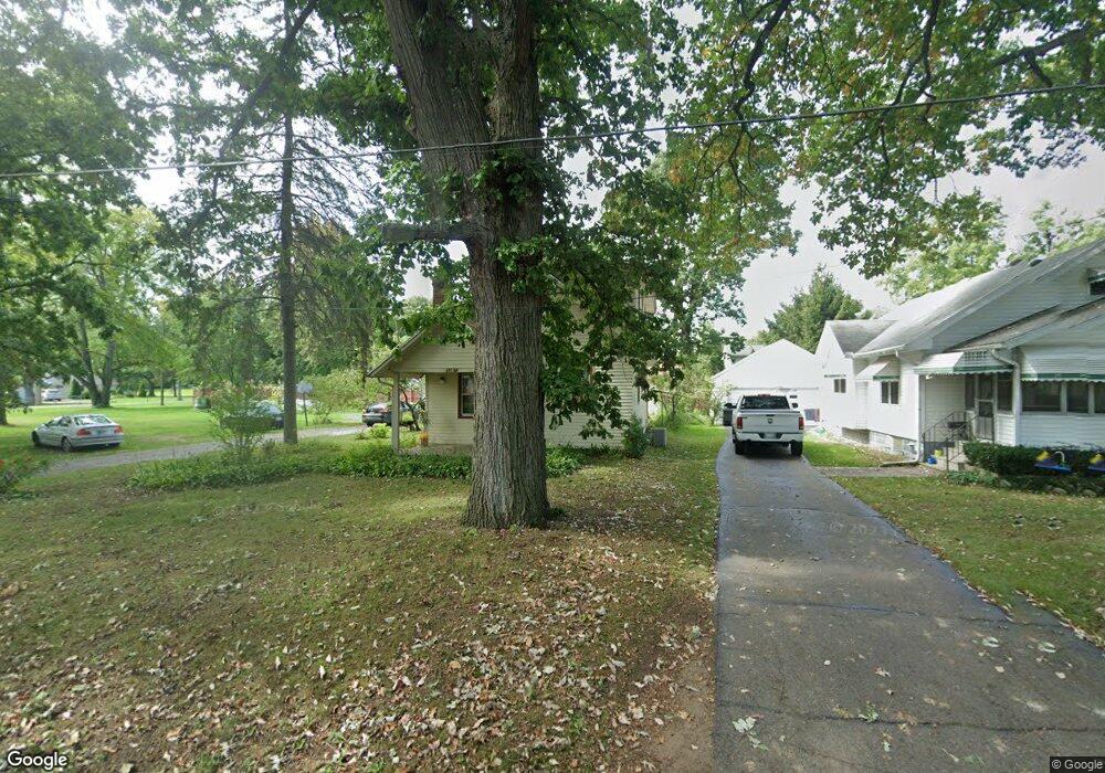
914 Maynard Ave Jackson, MI 49202
Estimated Value: $162,090 - $228,000
Studio
--
Bath
1,287
Sq Ft
$153/Sq Ft
Est. Value
About This Home
This home is located at 914 Maynard Ave, Jackson, MI 49202 and is currently estimated at $197,523, approximately $153 per square foot. 914 Maynard Ave is a home located in Jackson County with nearby schools including Hunt Elementary School, Middle School at Parkside, and Jackson High School.
Ownership History
Date
Name
Owned For
Owner Type
Purchase Details
Closed on
Aug 8, 2001
Sold by
Strickrodt Dennis and Strickrodt Kenneth
Bought by
Kimando John K and Kangara Rose W
Current Estimated Value
Home Financials for this Owner
Home Financials are based on the most recent Mortgage that was taken out on this home.
Original Mortgage
$96,200
Outstanding Balance
$37,743
Interest Rate
7.23%
Mortgage Type
FHA
Estimated Equity
$159,780
Create a Home Valuation Report for This Property
The Home Valuation Report is an in-depth analysis detailing your home's value as well as a comparison with similar homes in the area
Home Values in the Area
Average Home Value in this Area
Purchase History
| Date | Buyer | Sale Price | Title Company |
|---|---|---|---|
| Kimando John K | $97,000 | -- |
Source: Public Records
Mortgage History
| Date | Status | Borrower | Loan Amount |
|---|---|---|---|
| Open | Kimando John K | $96,200 |
Source: Public Records
Tax History
| Year | Tax Paid | Tax Assessment Tax Assessment Total Assessment is a certain percentage of the fair market value that is determined by local assessors to be the total taxable value of land and additions on the property. | Land | Improvement |
|---|---|---|---|---|
| 2025 | $2,220 | $82,500 | $0 | $0 |
| 2024 | $14 | $82,900 | $0 | $0 |
| 2023 | $1,303 | $76,600 | $0 | $0 |
| 2022 | $2,012 | $68,600 | $0 | $0 |
| 2021 | $2,025 | $62,300 | $0 | $0 |
| 2020 | $2,000 | $59,800 | $0 | $0 |
| 2019 | $1,898 | $57,100 | $0 | $0 |
| 2018 | $1,731 | $56,300 | $0 | $0 |
| 2017 | $1,496 | $53,300 | $0 | $0 |
| 2016 | $967 | $52,678 | $52,678 | $0 |
| 2015 | $1,415 | $47,076 | $47,076 | $0 |
| 2014 | $1,415 | $46,061 | $46,061 | $0 |
| 2013 | -- | $46,061 | $46,061 | $0 |
Source: Public Records
Map
Nearby Homes
- 2318 Lancaster Blvd
- 870 Bryant Ave
- 705 Varden Dr
- VL Laurence Ave
- 0 VL Laurence Ave
- 534 Barrett Ave
- 1802 W Argyle St
- 923 Wayne St
- 0 Laurence Ave Unit 25062864
- 0 N Brown St
- 221 N Higby St
- 718 Center St
- 326 22nd St
- 1006 Wildwood Ave
- 108 N Thompson St
- 310 21st St
- 835 N West Ave
- 831 N West Ave
- 121 N Thompson St
- 311 Hibbard Ave
- 916 Maynard Ave
- 903 Denecourt Ave
- 907 Denecourt Ave
- 2318 W North St
- 911 Denecourt Ave
- 2317 Chesning Ave
- 2317 Chesning Ave Unit 40
- 870 Maynard Ave
- 869 Denecourt Ave
- 2314 W North St
- 2317 W North St
- 2313 Chesning Ave
- 906 Denecourt Ave
- 912 Denecourt Ave
- 2313 W North St
- 2310 W North St
- 863 Denecourt Ave
- 2309 Chesning Ave
- 870 Denecourt Ave
- 2318 Chesning Ave
Your Personal Tour Guide
Ask me questions while you tour the home.