T
Seller's Agent in 2016
Thomas Kohan
John L. Scott Ashland
Estimated Value: $445,000 - $562,000
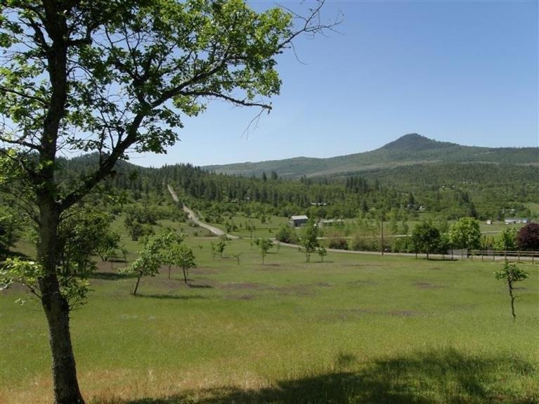
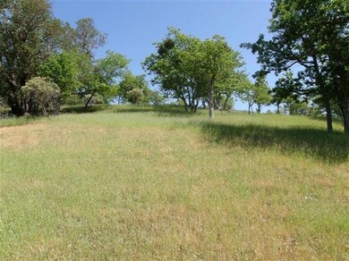
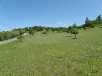
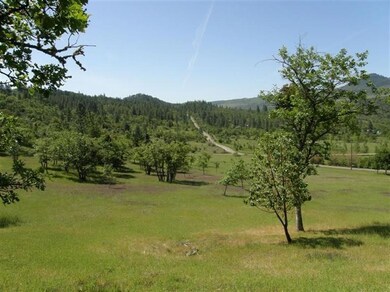
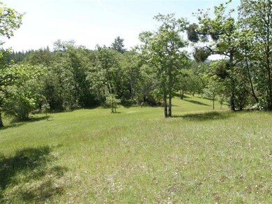
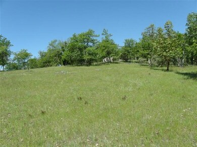
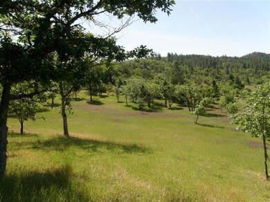
Looking to build your home in a private & peaceful setting with views of hills and valleys? Look no further! This gently sloping 8.39 Acre residential lot comes with an approved home-site location near the top of the lot (see attached site plan). It also has an approved septic and drain-field location and a well that when drilled in 2004 produced 25 GPM! This south facing moderately sloping lot has potential for vineyard or horses. Agate Lake and Stone Ridge Golf Course only 5 minutes away!
Last Agent to Sell the Property
Thomas Kohan
John L. Scott Ashland License #200811059 Listed on: 03/02/2016
Last Buyer's Agent
Debbie Chandler
i5 Real Estate License #201208966
| Date | Buyer | Sale Price | Title Company |
|---|---|---|---|
| Quall Patrick | $150,000 | First American | |
| Bretton Paul H | $175,000 | Lawyers Title Ins | |
| Caso Frank B | $27,000 | Crater Title Insurance | |
| Faltersack Richard P | $17,500 | Crater Title Insurance |
| Date | Event | Price | List to Sale | Price per Sq Ft |
|---|---|---|---|---|
| 03/24/2016 03/24/16 | Sold | $150,000 | -16.7% | -- |
| 03/07/2016 03/07/16 | Pending | -- | -- | -- |
| 05/02/2014 05/02/14 | For Sale | $180,000 | -- | -- |
| Year | Tax Paid | Tax Assessment Tax Assessment Total Assessment is a certain percentage of the fair market value that is determined by local assessors to be the total taxable value of land and additions on the property. | Land | Improvement |
|---|---|---|---|---|
| 2026 | $2,658 | $236,050 | -- | -- |
| 2025 | $2,598 | $229,180 | $108,420 | $120,760 |
| 2024 | $2,598 | $222,510 | $90,940 | $131,570 |
| 2023 | $2,512 | $216,030 | $88,290 | $127,740 |
| 2022 | $2,439 | $216,030 | $88,290 | $127,740 |
| 2021 | $2,362 | $209,740 | $85,710 | $124,030 |
| 2020 | $2,557 | $203,640 | $83,220 | $120,420 |
| 2019 | $2,527 | $191,960 | $78,450 | $113,510 |
| 2018 | $2,470 | $26,520 | $26,520 | $0 |
| 2017 | $280 | $26,520 | $26,520 | $0 |
| 2016 | $274 | $25,000 | $25,000 | $0 |
| 2015 | $264 | $25,000 | $25,000 | $0 |
| 2014 | $257 | $23,580 | $23,580 | $0 |
T
Seller's Agent in 2016
Thomas Kohan
John L. Scott Ashland
D
Buyer's Agent in 2016
Debbie Chandler
i5 Real Estate
Source: Oregon Datashare
MLS Number: 102946530
APN: 10266293
Disclaimer: Certain information contained herein is derived from information provided by parties other than Homes.com. All information provided is deemed reliable, but is not guaranteed to be accurate and should be independently verified.
![]() © 2026 Oregon Datashare (KCAR | MLSCO | SOMLS). All rights reserved. The data relating to real estate for sale on this web site comes in part from the Internet Data Exchange Program of the Oregon Datashare. Real estate listings held by IDX Brokerage firms other than Ten-X are marked with the Internet Data Exchange logo or the Internet Data Exchange thumbnail logo and detailed information about them includes the name of the listing Brokers. Information provided is for consumers' personal, non-commercial use and may not be used for any purpose other than to identify prospective properties the viewer may be interested in purchasing. The consumer will not copy, retransmit nor redistribute any of the content from this website. Information provided is deemed reliable, but not guaranteed.
© 2026 Oregon Datashare (KCAR | MLSCO | SOMLS). All rights reserved. The data relating to real estate for sale on this web site comes in part from the Internet Data Exchange Program of the Oregon Datashare. Real estate listings held by IDX Brokerage firms other than Ten-X are marked with the Internet Data Exchange logo or the Internet Data Exchange thumbnail logo and detailed information about them includes the name of the listing Brokers. Information provided is for consumers' personal, non-commercial use and may not be used for any purpose other than to identify prospective properties the viewer may be interested in purchasing. The consumer will not copy, retransmit nor redistribute any of the content from this website. Information provided is deemed reliable, but not guaranteed.
Ask me questions while you tour the home.