919 Hawthorne Ln Kankakee, IL 60901
Estimated Value: $164,000 - $210,000
3
Beds
1
Bath
1,276
Sq Ft
$149/Sq Ft
Est. Value
About This Home
This home is located at 919 Hawthorne Ln, Kankakee, IL 60901 and is currently estimated at $189,903, approximately $148 per square foot. 919 Hawthorne Ln is a home located in Kankakee County with nearby schools including Taft Primary School, Kennedy Middle Grade School, and Kankakee Junior High School.
Ownership History
Date
Name
Owned For
Owner Type
Purchase Details
Closed on
Jul 23, 2010
Sold by
Ronald Noramczyk
Bought by
Fortinberry Ingrid A
Current Estimated Value
Home Financials for this Owner
Home Financials are based on the most recent Mortgage that was taken out on this home.
Original Mortgage
$118,405
Interest Rate
4.87%
Mortgage Type
New Conventional
Create a Home Valuation Report for This Property
The Home Valuation Report is an in-depth analysis detailing your home's value as well as a comparison with similar homes in the area
Home Values in the Area
Average Home Value in this Area
Purchase History
We collect this data history from publicly available records. To have your information removed, we recommend requesting removal directly through your county’s website.
| Date | Buyer | Sale Price | Title Company |
|---|---|---|---|
| Fortinberry Ingrid A | $120,000 | Standard Title Grnty Co |
Source: Public Records
Mortgage History
We collect this data history from publicly available records. To have your information removed, we recommend requesting removal directly through your county’s website.
| Date | Status | Borrower | Loan Amount |
|---|---|---|---|
| Previous Owner | Fortinberry Ingrid A | $118,405 | |
| Closed | Fortinberry Ingrid A | $118,405 |
Source: Public Records
Tax History
| Year | Tax Paid | Tax Assessment Tax Assessment Total Assessment is a certain percentage of the fair market value that is determined by local assessors to be the total taxable value of land and additions on the property. | Land | Improvement |
|---|---|---|---|---|
| 2025 | $4,726 | $57,857 | $6,691 | $51,166 |
| 2024 | $4,726 | $50,975 | $5,895 | $45,080 |
| 2023 | $4,400 | $45,412 | $5,252 | $40,160 |
| 2022 | $3,907 | $39,748 | $4,597 | $35,151 |
| 2021 | $3,539 | $35,971 | $4,160 | $31,811 |
| 2020 | $3,852 | $32,333 | $3,739 | $28,594 |
| 2019 | $3,608 | $30,077 | $3,478 | $26,599 |
| 2018 | $3,405 | $27,849 | $3,220 | $24,629 |
| 2017 | $3,790 | $27,236 | $3,149 | $24,087 |
| 2016 | $3,531 | $26,702 | $3,087 | $23,615 |
| 2015 | $3,687 | $28,833 | $3,150 | $25,683 |
| 2014 | $3,814 | $30,513 | $3,150 | $27,363 |
| 2013 | -- | $31,784 | $3,281 | $28,503 |
Source: Public Records
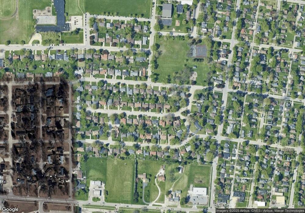
Map
Nearby Homes
- 1124 W Hawkins St
- 1205 S 7th Ave
- 1535 & 1535 1/2 S 5th Ave
- 12.32 acres Eastgate Court St
- 210 - 280 Tedmark Ct
- 1-2 Court St
- 1119 S Curtis Ave Unit E51
- 1119 S Curtis Ave Unit F62
- 1119 S Curtis Ave Unit A1
- 1055 S 4th Ave
- 665 S May Ave
- 655 S Wall St
- 1035 S 3rd Ave
- 1532 S 5th Ave
- 1562 S 5th Ave
- 512 S Wall St
- 681 S Tanner Ave
- 827 S Mckinley Ave
- 871 S Cheryl Ln
- 590 S Washington Ave
- 927 Hawthorne Ln
- 911 Hawthorne Ln
- 924 W Vanmeter St
- 936 Hawthorne Ln
- 937 Hawthorne Ln
- 924 Hawthorne Ln
- 920 W Vanmeter St
- 922 W Vanmeter St
- 903 Hawthorne Ln
- 912 Hawthorne Ln
- 926 W Vanmeter St
- 938 Hawthorne Ln
- 960 W Vanmeter St
- 947 Hawthorne Ln
- 904 Hawthorne Ln
- 900 W Vanmeter St
- 946 Hawthorne Ln
- 901 Hawthorne Ln
- 972 Hawthorne Ln
- 985 Hawthorne Ln
Your Personal Tour Guide
Ask me questions while you tour the home.