919 Memory Ln Unit A Monroe, NC 28112
Monroe AreaEstimated Value: $194,000 - $450,000
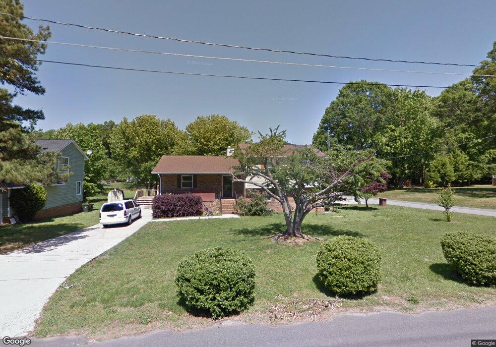
About This Home
This home is located at 919 Memory Ln Unit A, Monroe, NC 28112 and is currently estimated at $319,770, approximately $218 per square foot. 919 Memory Ln Unit A is a home located in Union County with nearby schools including Walter Bickett Elementary School, Monroe Middle School, and Monroe High School.
Ownership History
We collect this data history from publicly available records. To have your information removed, we recommend requesting removal directly through your county’s website.
Purchase Details
Home Financials for this Owner
Home Financials are based on the most recent Mortgage that was taken out on this home.Purchase Details
Purchase History
We collect this data history from publicly available records. To have your information removed, we recommend requesting removal directly through your county’s website.
| Date | Buyer | Sale Price | Title Company |
|---|---|---|---|
| $115,000 | -- | ||
| $105,500 | -- |
Mortgage History
We collect this data history from publicly available records. To have your information removed, we recommend requesting removal directly through your county’s website.
| Date | Status | Borrower | Loan Amount |
|---|---|---|---|
| Open | $113,033 |
Tax History
We collect this data history from publicly available records. To have your information removed, we recommend requesting removal directly through your county’s website.
| Year | Tax Paid | Tax Assessment Tax Assessment Total Assessment is a certain percentage of the fair market value that is determined by local assessors to be the total taxable value of land and additions on the property. | Land | Improvement |
|---|---|---|---|---|
| 2025 | $3,203 | $366,400 | $0 | $366,400 |
| 2024 | $2,372 | $217,500 | $13,200 | $204,300 |
| 2023 | $2,094 | $192,000 | $13,200 | $178,800 |
| 2022 | $2,094 | $192,000 | $13,200 | $178,800 |
| 2021 | $2,094 | $192,000 | $13,200 | $178,800 |
| 2020 | $1,569 | $116,500 | $15,400 | $101,100 |
| 2019 | $1,569 | $116,500 | $15,400 | $101,100 |
| 2018 | $718 | $116,500 | $15,400 | $101,100 |
| 2017 | $1,593 | $116,500 | $15,400 | $101,100 |
| 2016 | $1,576 | $116,500 | $15,400 | $101,100 |
| 2015 | $905 | $116,500 | $15,400 | $101,100 |
| 2014 | $1,728 | $141,670 | $19,180 | $122,490 |
Map
- 1201 Memory Ln
- Lot 1 Oak Hill Dr
- 408 Griffith Rd
- 1303 Quail Dr
- 704 Lancaster Ave
- 400 S Westover Dr
- 803 Gordon St
- 303 Lancaster Ave
- 106 Penn St
- 120 S Crawford St
- 1103 W Franklin St
- 105 W Houston St
- 611 Westend Dr
- 0 Simpson Cir
- 1502 Marion St
- 0 Labon St
- 2007 Gambrel Way
- 403 W Franklin St
- 1602 Griffith Rd
- 624 Hunley St
- 913 Memory Ln
- 907 Memory Ln
- 1210 Harvard St
- 901 Memory Ln Unit A
- 901 Memory Ln
- 1207 Lancaster Ave
- 1206 Harvard St
- 900 Memory Ln
- 1301 Lancaster Ave
- 1107 Lancaster Ave
- 1202 Harvard St
- 1001 Memory Ln
- 1207 Harvard St
- 1000 Memory Ln
- 1203 Harvard St
- 1303 Lancaster Ave
- 1210 Lancaster Ave
- 1206 Lancaster Ave
- 1110 Harvard St
- 1105 Lancaster Ave
Ask me questions while you tour the home.