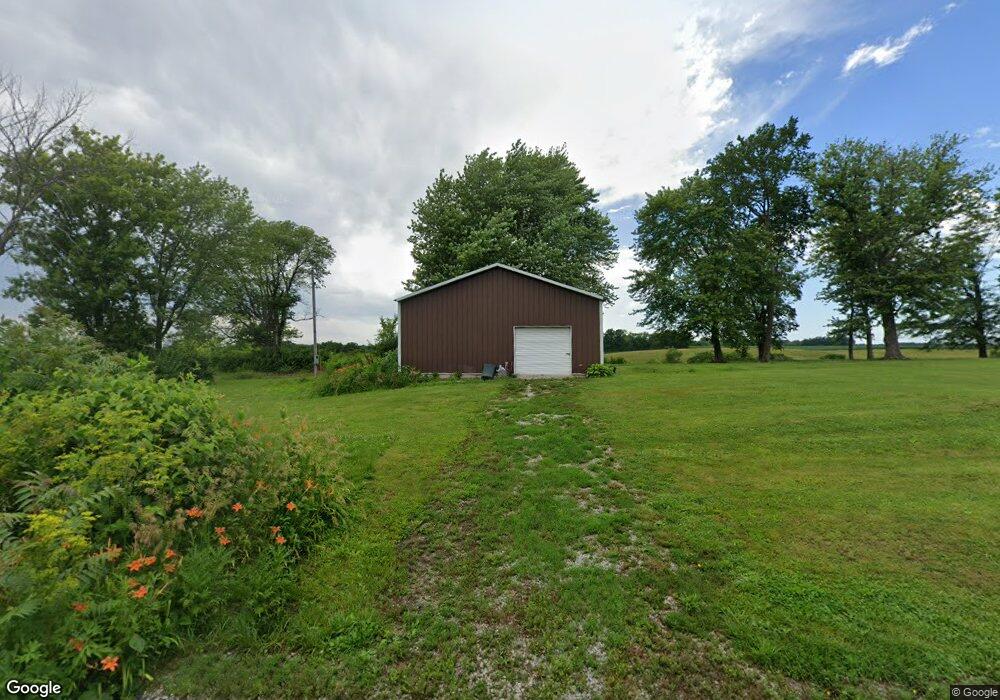
9190 E 1100th St Macomb, IL 61455
Estimated Value: $85,625 - $195,000
Studio
--
Bath
--
Sq Ft
253,955
Sq Ft Lot
About This Home
This home is located at 9190 E 1100th St, Macomb, IL 61455 and is currently estimated at $118,906. 9190 E 1100th St is a home located in McDonough County with nearby schools including Edison Elementary School, Lincoln Elementary School, and Macomb Junior High School.
Ownership History
Date
Name
Owned For
Owner Type
Purchase Details
Closed on
Oct 20, 2023
Sold by
Frakes Lonnie E and Frakes Billie J
Bought by
Waldon James Matthew
Current Estimated Value
Purchase Details
Closed on
Oct 18, 2023
Sold by
Waldon James Matthew
Bought by
Cristoffersen Diane G
Purchase Details
Closed on
Dec 8, 2021
Sold by
Myers Kathy M
Bought by
Frakes Lonnie E and Frakes Billie J
Home Financials for this Owner
Home Financials are based on the most recent Mortgage that was taken out on this home.
Original Mortgage
$52,359
Interest Rate
4%
Mortgage Type
New Conventional
Purchase Details
Closed on
Oct 6, 2015
Sold by
Cramer Mary W
Bought by
Cramer Rodney and Myers Kathy M
Home Financials for this Owner
Home Financials are based on the most recent Mortgage that was taken out on this home.
Original Mortgage
$67,000
Interest Rate
3.84%
Mortgage Type
Purchase Money Mortgage
Create a Home Valuation Report for This Property
The Home Valuation Report is an in-depth analysis detailing your home's value as well as a comparison with similar homes in the area
Purchase History
| Date | Buyer | Sale Price | Title Company |
|---|---|---|---|
| Waldon James Matthew | -- | None Listed On Document | |
| Cristoffersen Diane G | -- | None Listed On Document | |
| Frakes Lonnie E | $54,000 | None Listed On Document | |
| Cramer Rodney | $67,000 | None Available |
Source: Public Records
Mortgage History
| Date | Status | Borrower | Loan Amount |
|---|---|---|---|
| Previous Owner | Frakes Lonnie E | $52,359 | |
| Previous Owner | Cramer Rodney | $67,000 |
Source: Public Records
Tax History
| Year | Tax Paid | Tax Assessment Tax Assessment Total Assessment is a certain percentage of the fair market value that is determined by local assessors to be the total taxable value of land and additions on the property. | Land | Improvement |
|---|---|---|---|---|
| 2024 | $939 | $9,937 | $8,158 | $1,779 |
| 2023 | $961 | $9,380 | $7,701 | $1,679 |
| 2022 | $876 | $8,889 | $7,298 | $1,591 |
| 2021 | $836 | $8,738 | $7,174 | $1,564 |
| 2020 | $820 | $15,644 | $7,053 | $8,591 |
| 2019 | $822 | $8,773 | $7,202 | $1,571 |
| 2018 | $814 | $9,019 | $7,404 | $1,615 |
| 2017 | $798 | $9,019 | $7,404 | $1,615 |
| 2016 | $765 | $8,842 | $7,259 | $1,583 |
| 2015 | $763 | $8,724 | $7,162 | $1,562 |
| 2014 | $720 | $8,724 | $7,162 | $1,562 |
| 2013 | $686 | $8,231 | $6,757 | $1,474 |
Source: Public Records
Map
Nearby Homes
- 000 E 950th St
- 12144 N 1050th Rd
- 1 Marty Ln
- 10810 E 1000th St
- 2103 Maple Ave
- 201 Evergreen Dr
- 2005 S Madison St
- 413 Evergreen Dr
- 1905 S Madison St
- 1112 Stacy Ln
- 820 W Mcdonough St
- 404 W Fisk St
- 236 W Fisk St
- 131 W Barsi Blvd
- 101 W Barsi Blvd
- 301 E Summit St
- 439 E Yeiser St
- 214 W Mcdonough St
- 648 S Randolph St
- 407 S Ward St
- 9240 E 1100th St
- 9025 E 1100th St
- 11068 N 950th Rd
- 11255 N 950th Rd
- 150 China Rd
- 11370 N 950th Rd
- 11499 N 950th Rd
- 10495 N 900th Rd
- 255 China Rd
- 11607 N 950th Rd
- 10280 N 900th Rd
- 10999 N 1000th Rd
- 11610 N 950th Rd
- 11510 N 950th Rd
- 11725 N 950th Rd
- 8370 E 1100th St
- 11690 N 950th Rd
- 11175 N 1000th Rd
- 8315 E 1100th St
- 10998 N 1000th Rd
Your Personal Tour Guide
Ask me questions while you tour the home.