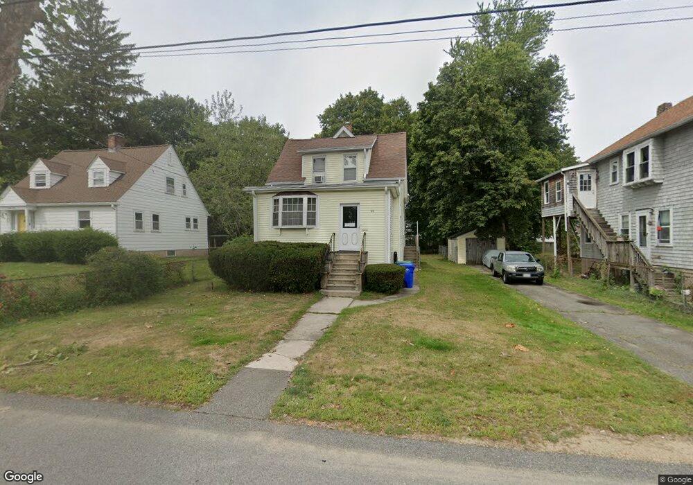
92 Crescent St Rockland, MA 02370
Estimated Value: $492,000 - $522,000
4
Beds
2
Baths
1,369
Sq Ft
$372/Sq Ft
Est. Value
About This Home
This home is located at 92 Crescent St, Rockland, MA 02370 and is currently estimated at $509,663, approximately $372 per square foot. 92 Crescent St is a home located in Plymouth County with nearby schools including Rockland Senior High School, Calvary Chapel Academy, and Holy Family Elementary School.
Ownership History
Date
Name
Owned For
Owner Type
Purchase Details
Closed on
Aug 25, 2014
Sold by
Giuffrida John S and Giuffrida Donna M
Bought by
92 Crescent Street Rt
Current Estimated Value
Purchase Details
Closed on
Jul 23, 1971
Bought by
92 Crescent St Rt
Create a Home Valuation Report for This Property
The Home Valuation Report is an in-depth analysis detailing your home's value as well as a comparison with similar homes in the area
Home Values in the Area
Average Home Value in this Area
Purchase History
| Date | Buyer | Sale Price | Title Company |
|---|---|---|---|
| 92 Crescent Street Rt | -- | -- | |
| 92 Crescent St Rt | -- | -- |
Source: Public Records
Mortgage History
| Date | Status | Borrower | Loan Amount |
|---|---|---|---|
| Previous Owner | 92 Crescent St Rt | $25,000 |
Source: Public Records
Tax History
| Year | Tax Paid | Tax Assessment Tax Assessment Total Assessment is a certain percentage of the fair market value that is determined by local assessors to be the total taxable value of land and additions on the property. | Land | Improvement |
|---|---|---|---|---|
| 2025 | $5,411 | $395,800 | $224,600 | $171,200 |
| 2024 | $5,251 | $373,500 | $211,900 | $161,600 |
| 2023 | $5,071 | $333,200 | $184,700 | $148,500 |
| 2022 | $4,858 | $290,000 | $160,600 | $129,400 |
| 2021 | $3,810 | $220,500 | $146,000 | $74,500 |
| 2020 | $3,749 | $214,200 | $139,000 | $75,200 |
| 2019 | $3,729 | $208,100 | $132,400 | $75,700 |
| 2018 | $3,668 | $201,300 | $132,400 | $68,900 |
| 2017 | $3,539 | $191,500 | $125,500 | $66,000 |
| 2016 | $3,458 | $187,000 | $120,600 | $66,400 |
| 2015 | $3,452 | $181,400 | $112,700 | $68,700 |
| 2014 | $3,290 | $179,400 | $110,600 | $68,800 |
Source: Public Records
Map
Nearby Homes
- 186 Vernon St
- 207 Vernon St
- 215 Market St
- 411 Market St
- 173 Liberty St
- 50 Linden Park
- 63 Webster St
- 10 Sunnybank Ave
- 103 Grove St Unit 349
- 9 Old Market St
- 225 W Water St
- 119 Grove St Unit 234
- 119 Grove St Unit 216
- 135 Grove St Unit 123
- 135 Grove St Unit 115
- 135 Grove St Unit 133
- 0 W Water St
- 15 Bradford St
- 354 Webster St
- 48 Bigelow Ave
Your Personal Tour Guide
Ask me questions while you tour the home.