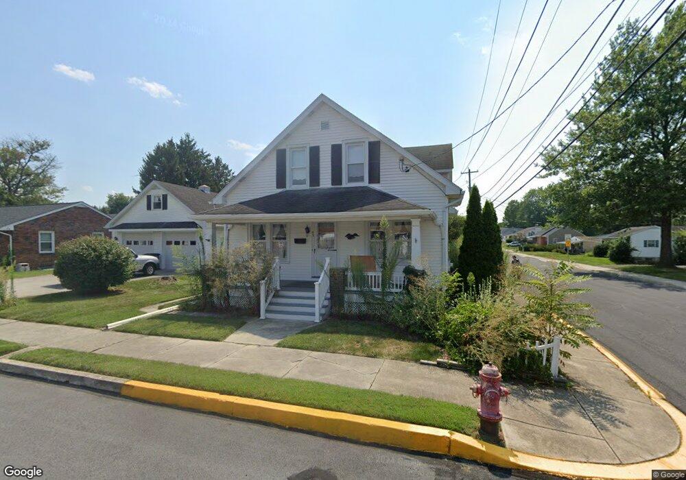
92 Patrick Ave Littlestown, PA 17340
Estimated Value: $253,000 - $283,000
3
Beds
1
Bath
1,494
Sq Ft
$179/Sq Ft
Est. Value
About This Home
This home is located at 92 Patrick Ave, Littlestown, PA 17340 and is currently estimated at $266,798, approximately $178 per square foot. 92 Patrick Ave is a home located in Adams County with nearby schools including Rolling Acres El School, Maple Avenue Middle School, and Littlestown Senior High School.
Ownership History
Date
Name
Owned For
Owner Type
Purchase Details
Closed on
Aug 31, 2023
Sold by
Kebil Beverly A
Bought by
Dobias Timothy J
Current Estimated Value
Home Financials for this Owner
Home Financials are based on the most recent Mortgage that was taken out on this home.
Original Mortgage
$193,500
Outstanding Balance
$189,256
Interest Rate
6.78%
Mortgage Type
New Conventional
Estimated Equity
$77,542
Purchase Details
Closed on
Jan 1, 1962
Bought by
Kebil Bernard G and Kebil Beverly A
Create a Home Valuation Report for This Property
The Home Valuation Report is an in-depth analysis detailing your home's value as well as a comparison with similar homes in the area
Home Values in the Area
Average Home Value in this Area
Purchase History
| Date | Buyer | Sale Price | Title Company |
|---|---|---|---|
| Dobias Timothy J | $215,000 | Quality Service Settlements | |
| Kebil Bernard G | $9,900 | -- |
Source: Public Records
Mortgage History
| Date | Status | Borrower | Loan Amount |
|---|---|---|---|
| Open | Dobias Timothy J | $193,500 |
Source: Public Records
Tax History
| Year | Tax Paid | Tax Assessment Tax Assessment Total Assessment is a certain percentage of the fair market value that is determined by local assessors to be the total taxable value of land and additions on the property. | Land | Improvement |
|---|---|---|---|---|
| 2025 | $4,064 | $176,800 | $32,300 | $144,500 |
| 2024 | $3,912 | $176,600 | $32,300 | $144,300 |
| 2023 | $3,761 | $176,600 | $32,300 | $144,300 |
| 2022 | $3,738 | $176,600 | $32,300 | $144,300 |
| 2021 | $3,627 | $176,600 | $32,300 | $144,300 |
| 2020 | $3,584 | $176,600 | $32,300 | $144,300 |
| 2019 | $3,476 | $176,600 | $32,300 | $144,300 |
| 2018 | $3,413 | $176,600 | $32,300 | $144,300 |
| 2017 | $3,325 | $176,600 | $32,300 | $144,300 |
| 2016 | -- | $176,600 | $32,300 | $144,300 |
| 2015 | -- | $176,600 | $32,300 | $144,300 |
| 2014 | -- | $176,600 | $32,300 | $144,300 |
Source: Public Records
Map
Nearby Homes
- 45 James Ave
- 102 N Queen St
- 141 W King St
- 115 Charles St
- 117 Charles St
- 161 Cemetery St
- 102 Cemetery St
- 19 Stayman Way Unit 64
- 20 Stedtle Ave
- 408 S Queen St
- 153 Stoners Cir
- 162 Newark St
- 484 S Columbus Ave Unit 19
- 311 S Columbus Ave Unit 128
- 23 Crescent Ln Unit 34
- 17 Mason Dixon Dr Unit 84
- 620 Saint Johns Rd
- 11 Yorktowne Ct Unit 96
- 15 Yorktowne Ct Unit 97
- 14 Revere Ct Unit 71
- 82 Patrick Ave Unit 7
- 60 W Myrtle St
- 59 W Myrtle St
- 66 W Myrtle St
- 51 W Myrtle St Unit 41
- 62 Patrick Ave
- 77 James Ave
- 73 James Ave
- 63 Patrick Ave
- 40 W Myrtle St
- 49 W Myrtle St
- 67 W Myrtle St
- 58 Patrick Ave
- 47 W Myrtle St
- 63 James Ave
- 45 W Myrtle St
- 75 W Myrtle St
- 59 Patrick Ave
- 34 W Myrtle St
- 54 Patrick Ave
Your Personal Tour Guide
Ask me questions while you tour the home.