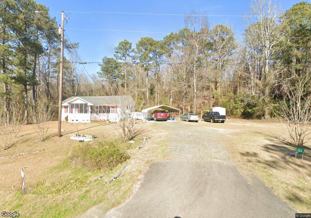
92 Tom Watson Ave Oglethorpe, GA 31068
Estimated Value: $82,638 - $417,000
About This Home
This home is located at 92 Tom Watson Ave, Oglethorpe, GA 31068 and is currently estimated at $186,910, approximately $196 per square foot. 92 Tom Watson Ave is a home with nearby schools including Macon County Elementary School, Macon County Middle School, and Macon County High School.
Ownership History
We collect this data history from publicly available records. To have your information removed, we recommend requesting removal directly through your county’s website.
Purchase Details
Purchase Details
Purchase Details
Purchase Details
Purchase History
We collect this data history from publicly available records. To have your information removed, we recommend requesting removal directly through your county’s website.
| Date | Buyer | Sale Price | Title Company |
|---|---|---|---|
| -- | -- | ||
| $14,500 | -- | ||
| $5,000 | -- | ||
| $16,900 | -- |
Tax History
We collect this data history from publicly available records. To have your information removed, we recommend requesting removal directly through your county’s website.
| Year | Tax Paid | Tax Assessment Tax Assessment Total Assessment is a certain percentage of the fair market value that is determined by local assessors to be the total taxable value of land and additions on the property. | Land | Improvement |
|---|---|---|---|---|
| 2025 | $823 | $23,715 | $3,016 | $20,699 |
| 2024 | $854 | $23,715 | $3,016 | $20,699 |
| 2023 | $854 | $23,715 | $3,016 | $20,699 |
| 2022 | $466 | $18,031 | $3,016 | $15,015 |
| 2021 | $520 | $13,035 | $2,416 | $10,619 |
| 2020 | $336 | $13,035 | $2,416 | $10,619 |
| 2019 | $520 | $13,035 | $2,416 | $10,619 |
| 2018 | $337 | $13,035 | $2,416 | $10,619 |
| 2017 | $337 | $13,035 | $2,416 | $10,619 |
| 2016 | $338 | $13,035 | $2,416 | $10,619 |
| 2015 | -- | $14,244 | $2,416 | $11,828 |
| 2014 | -- | $14,244 | $2,416 | $11,828 |
| 2013 | -- | $14,244 | $2,416 | $11,827 |
Map
- 1163 Old Ideal Rd
- 0 Marvis Chapman Rd Unit 10319071
- 0 Marvis Chapman Rd Unit 25510380
- Brooks Mill Rd
- Robinson Rd
- 0 Les Smith Rd
- Les Smith Rd
- Pine Creek Rd
- 0 Southland Rd Unit 262528
- 890 Martin Rd
- 298 E Highway 127
- Parcel 5 Carl Rogers Rd
- Parcel 12 Carl Rogers Rd
- Parcel 8B Carl Rogers Rd
- Parcel 6 Carl Rogers Rd
- Parcel 13 Carl Rogers Rd
- Parcel 7 Carl Rogers Rd
- Carl Rogers Rd
- Parcel 6B Carl Rodgers Rd
- Parcel 2 Everett Wood Rd
- 94 State Route 90 Rd
- 90 Tom Watson Ave
- 82 Cemetery Rd
- 361 Brooks Rd
- 115 Cemetery Rd
- 102 Gene Wilburn Rd
- 103 Gene Wilburn Rd
- 1 Gene Wilburn Rd Unit 1
- 105 Gene Wilburn Rd
- O Georgia 90
- 0 Georgia 90
- 1971 Gene Wilburn Rd
- 102 Tom Watson St
- 105 Hoke Smith Ave
- 104 Hoke Smith Ave
- 621 Brooks Rd
- 2035 Old Ideal Rd
- 2035 Old Ideal Rd
- 101 Tom Watson Ave
- 50 Poplar St
Ask me questions while you tour the home.