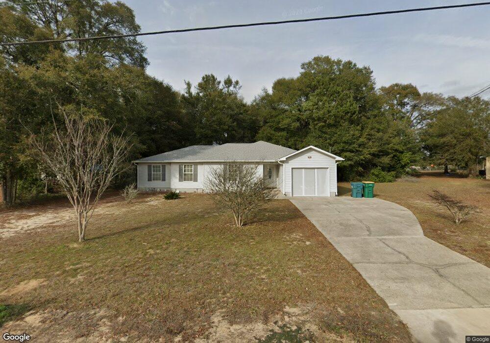
920 B St Crestview, FL 32536
Estimated Value: $193,000 - $248,988
3
Beds
2
Baths
1,547
Sq Ft
$144/Sq Ft
Est. Value
About This Home
This home is located at 920 B St, Crestview, FL 32536 and is currently estimated at $223,497, approximately $144 per square foot. 920 B St is a home located in Okaloosa County with nearby schools including Northwood Elementary School, Shoal River Middle School, and Crestview High School.
Ownership History
Date
Name
Owned For
Owner Type
Purchase Details
Closed on
Mar 23, 2023
Sold by
Beaty Robert E and Beaty Shelley K
Bought by
Beaty Robert E and Park Tiffiany A
Current Estimated Value
Purchase Details
Closed on
Jun 17, 2004
Sold by
Tim Tarpley Construction Inc
Bought by
Beaty Robert E and Beaty Shelley K
Home Financials for this Owner
Home Financials are based on the most recent Mortgage that was taken out on this home.
Original Mortgage
$69,900
Interest Rate
6.09%
Mortgage Type
Purchase Money Mortgage
Purchase Details
Closed on
Dec 14, 2001
Sold by
Day Troy E
Bought by
Tim Tarpley Construction Inc
Create a Home Valuation Report for This Property
The Home Valuation Report is an in-depth analysis detailing your home's value as well as a comparison with similar homes in the area
Home Values in the Area
Average Home Value in this Area
Purchase History
| Date | Buyer | Sale Price | Title Company |
|---|---|---|---|
| Beaty Robert E | $100 | None Listed On Document | |
| Beaty Robert E | $89,900 | Moulton Dowd Title Inc | |
| Tim Tarpley Construction Inc | $7,000 | Accu Title Agency |
Source: Public Records
Mortgage History
| Date | Status | Borrower | Loan Amount |
|---|---|---|---|
| Previous Owner | Beaty Robert E | $69,900 |
Source: Public Records
Tax History
| Year | Tax Paid | Tax Assessment Tax Assessment Total Assessment is a certain percentage of the fair market value that is determined by local assessors to be the total taxable value of land and additions on the property. | Land | Improvement |
|---|---|---|---|---|
| 2025 | $760 | $108,005 | -- | -- |
| 2024 | $697 | $104,961 | -- | -- |
| 2023 | $697 | $101,904 | $0 | $0 |
| 2022 | $721 | $98,936 | $0 | $0 |
| 2021 | $716 | $96,054 | $0 | $0 |
| 2020 | $706 | $94,728 | $0 | $0 |
| 2019 | $696 | $92,598 | $0 | $0 |
| 2018 | $688 | $90,871 | $0 | $0 |
| 2017 | $683 | $89,002 | $0 | $0 |
| 2016 | $669 | $87,171 | $0 | $0 |
| 2015 | $685 | $86,565 | $0 | $0 |
| 2014 | $695 | $86,805 | $0 | $0 |
Source: Public Records
Map
Nearby Homes
- 742 Kit Dr
- 2182 Hagood Loop
- 156 S Lindberg St
- 4440 Old Antioch Rd
- 2364 Susan Dr
- 309 Springwood Cir
- 2145 Hagood Loop
- 5281 Moore Loop
- 5212 Moore Loop
- 2233 Lewis St
- 223 Paradise Palm Cir
- 207 Oglesby Ave
- 2303 Lewis St
- 231 Paradise Palm Cir
- 3312 Highway 90
- 209 Cabana Way
- 204 Warrior St
- 112 Oglesby Ave
- 108 Oglesby Ave
- 102 Grimes Ave
Your Personal Tour Guide
Ask me questions while you tour the home.