Estimated Value: $181,000 - $194,000
2
Beds
2
Baths
1,200
Sq Ft
$156/Sq Ft
Est. Value
About This Home
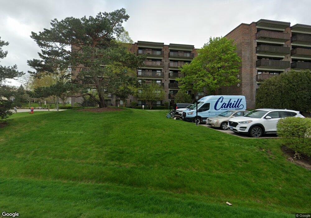
This home is located at 920 Vose Dr, Gurnee, IL 60031 and is currently estimated at $187,790, approximately $156 per square foot. 920 Vose Dr is a home located in Lake County with nearby schools including Woodland Primary School, Woodland Elementary School, and Woodland Intermediate School.
Ownership History
Date
Name
Owned For
Owner Type
Purchase Details
Closed on
Apr 22, 2015
Sold by
Anthony Marion L
Bought by
Hughes Elizabeth
Current Estimated Value
Home Financials for this Owner
Home Financials are based on the most recent Mortgage that was taken out on this home.
Original Mortgage
$79,650
Outstanding Balance
$62,152
Interest Rate
4.12%
Mortgage Type
New Conventional
Estimated Equity
$125,638
Purchase Details
Closed on
Jul 28, 2000
Sold by
Mosner Judith Ann
Bought by
Anthony Marion L
Create a Home Valuation Report for This Property
The Home Valuation Report is an in-depth analysis detailing your home's value as well as a comparison with similar homes in the area
Home Values in the Area
Average Home Value in this Area
Purchase History
| Date | Buyer | Sale Price | Title Company |
|---|---|---|---|
| Hughes Elizabeth | $88,500 | Baird & Warner Title Svcs In | |
| Anthony Marion L | $84,500 | -- |
Source: Public Records
Mortgage History
| Date | Status | Borrower | Loan Amount |
|---|---|---|---|
| Open | Hughes Elizabeth | $79,650 |
Source: Public Records
Tax History
| Year | Tax Paid | Tax Assessment Tax Assessment Total Assessment is a certain percentage of the fair market value that is determined by local assessors to be the total taxable value of land and additions on the property. | Land | Improvement |
|---|---|---|---|---|
| 2024 | $3,179 | $44,763 | $3,168 | $41,595 |
| 2023 | $2,989 | $40,348 | $2,855 | $37,493 |
| 2022 | $2,989 | $36,664 | $2,856 | $33,808 |
| 2021 | $2,686 | $35,193 | $2,741 | $32,452 |
| 2020 | $2,589 | $34,328 | $2,674 | $31,654 |
| 2019 | $2,509 | $33,331 | $2,596 | $30,735 |
| 2018 | $2,208 | $30,478 | $2,551 | $27,927 |
| 2017 | $2,179 | $29,605 | $2,478 | $27,127 |
| 2016 | $2,142 | $28,287 | $2,368 | $25,919 |
| 2015 | $1,568 | $26,828 | $2,246 | $24,582 |
| 2014 | $1,418 | $25,342 | $2,216 | $23,126 |
| 2012 | $1,772 | $25,536 | $2,233 | $23,303 |
Source: Public Records
About This Building
Map
Nearby Homes
- 920 Vose Dr Unit 304
- 920 Vose Dr Unit 106
- 801 Dunhill Ct
- 748 Chandler Rd
- 6349 Braxton Ct
- 6021 Golfview Dr
- 749 Shepard Ct Unit U19
- 727 Colby Ct Unit U57
- 705 Colby Ct Unit U78
- 690 Chandler Rd Unit 211
- 651 White Ct
- 642 Williams Ct
- 649 Wilbur Ct
- 1611 Burr Oak Dr
- 33124 N Shannon Dr
- 32981 N River Rd
- 17466 W Windslow Dr Unit 1
- 6230 Old Farm Ln
- 92 Foxboro Ln
- 17150 W Washington St
Your Personal Tour Guide
Ask me questions while you tour the home.