Estimated Value: $209,000 - $235,040
Studio
--
Bath
1,568
Sq Ft
$139/Sq Ft
Est. Value
About This Home
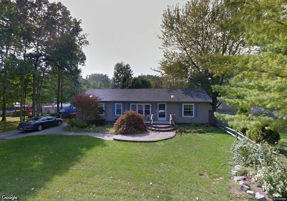
This home is located at 9216 Maple Rd, Clay, MI 48001 and is currently estimated at $217,760, approximately $138 per square foot. 9216 Maple Rd is a home located in St. Clair County.
Ownership History
Date
Name
Owned For
Owner Type
Purchase Details
Closed on
Sep 12, 2024
Sold by
Mclellan Kevin R
Bought by
Blair Joshua
Current Estimated Value
Purchase Details
Closed on
Jul 3, 2024
Sold by
Luman Agnes M and Stone Jeffrey
Bought by
Mclellan Kevin R
Purchase Details
Closed on
Mar 26, 2012
Sold by
Fannie Mae
Bought by
Luman Agnes
Purchase Details
Closed on
Feb 21, 2012
Sold by
Jpmorgan Chase Bank National Association
Bought by
Fannie Mae and Federal National Mortgage Association
Purchase Details
Closed on
Aug 11, 2011
Sold by
Raymond Timothy A
Bought by
Jpmorgan Chase Bank National Association
Create a Home Valuation Report for This Property
The Home Valuation Report is an in-depth analysis detailing your home's value as well as a comparison with similar homes in the area
Home Values in the Area
Average Home Value in this Area
Purchase History
| Date | Buyer | Sale Price | Title Company |
|---|---|---|---|
| Blair Joshua | -- | Visionary Title Agency | |
| Mclellan Kevin R | -- | Visionary Title Agency | |
| Luman Agnes | $52,500 | Attorneys Title Agency Llc | |
| Fannie Mae | -- | None Available | |
| Jpmorgan Chase Bank National Association | $107,618 | None Available |
Source: Public Records
Tax History
| Year | Tax Paid | Tax Assessment Tax Assessment Total Assessment is a certain percentage of the fair market value that is determined by local assessors to be the total taxable value of land and additions on the property. | Land | Improvement |
|---|---|---|---|---|
| 2025 | $2,270 | $60,800 | $0 | $0 |
| 2024 | $1,239 | $51,600 | $0 | $0 |
| 2023 | $1,187 | $50,300 | $0 | $0 |
| 2022 | $1,164 | $47,900 | $0 | $0 |
| 2020 | $653 | $14,657 | $14,657 | $0 |
| 2019 | $644 | $14,440 | $0 | $0 |
| 2018 | $634 | $36,900 | $0 | $0 |
| 2017 | $1,508 | $36,900 | $0 | $0 |
| 2016 | $1,015 | $36,900 | $0 | $0 |
| 2015 | -- | $36,000 | $36,000 | $0 |
| 2014 | -- | $33,900 | $33,900 | $0 |
| 2013 | -- | $26,400 | $0 | $0 |
Source: Public Records
Map
Nearby Homes
- 9279 Oakdale St
- 9309 Oakdale
- 24 Vacant Lots Land
- 9399 Oakdale St
- 9084 Island Dr
- 9665 River St
- 3202 Fruit St
- 0000 Taft Rd
- 00 Taft Rd
- 00 Dickinson Island
- 5966 Starboard Ct Unit 284
- 9658 Seaway Dr Unit 91
- 9634 Seaway Dr Unit 38
- 9761 Marina Cir Unit 292
- 2435 Fruit St
- 407-425 N Channel Dr
- 00000 N Channel Dr
- 00 N Channel Dr
- 9642 Nook Rd Unit 7
- 8846 Stone Rd
Your Personal Tour Guide
Ask me questions while you tour the home.