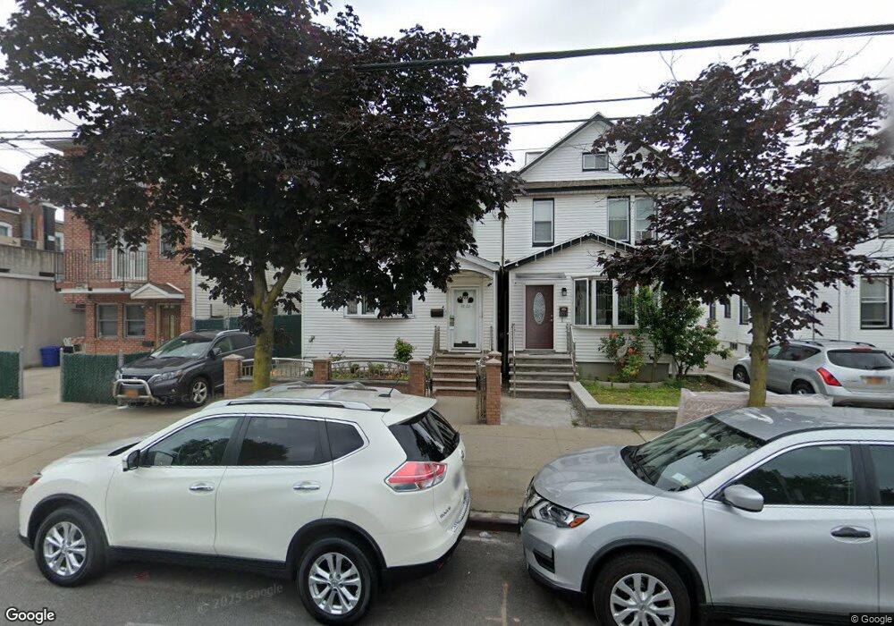
9220 Sutter Ave Ozone Park, NY 11417
Ozone Park NeighborhoodEstimated Value: $791,386 - $999,000
Studio
--
Bath
1,698
Sq Ft
$511/Sq Ft
Est. Value
About This Home
This home is located at 9220 Sutter Ave, Ozone Park, NY 11417 and is currently estimated at $867,597, approximately $510 per square foot. 9220 Sutter Ave is a home located in Queens County with nearby schools including P.S. 63 - Old South, Robert H. Goddard High School, and Divine Mercy Catholic Academy.
Ownership History
Date
Name
Owned For
Owner Type
Purchase Details
Closed on
Dec 20, 2007
Sold by
Terraciano Antoinette
Bought by
Wong Stella and Wu Simon
Current Estimated Value
Home Financials for this Owner
Home Financials are based on the most recent Mortgage that was taken out on this home.
Original Mortgage
$300,000
Outstanding Balance
$183,475
Interest Rate
6.27%
Mortgage Type
Purchase Money Mortgage
Estimated Equity
$684,122
Create a Home Valuation Report for This Property
The Home Valuation Report is an in-depth analysis detailing your home's value as well as a comparison with similar homes in the area
Home Values in the Area
Average Home Value in this Area
Purchase History
We collect this data history from publicly available records. To have your information removed, we recommend requesting removal directly through your county’s website.
| Date | Buyer | Sale Price | Title Company |
|---|---|---|---|
| Wong Stella | $488,000 | -- | |
| Wong Stella | $488,000 | -- |
Source: Public Records
Mortgage History
We collect this data history from publicly available records. To have your information removed, we recommend requesting removal directly through your county’s website.
| Date | Status | Borrower | Loan Amount |
|---|---|---|---|
| Open | Wong Stella | $300,000 | |
| Closed | Wong Stella | $300,000 |
Source: Public Records
Tax History
| Year | Tax Paid | Tax Assessment Tax Assessment Total Assessment is a certain percentage of the fair market value that is determined by local assessors to be the total taxable value of land and additions on the property. | Land | Improvement |
|---|---|---|---|---|
| 2026 | $7,762 | $40,746 | $10,310 | $30,436 |
| 2025 | $7,323 | $38,648 | $10,482 | $28,166 |
| 2024 | $7,323 | $36,461 | $10,252 | $26,209 |
| 2023 | $7,323 | $36,461 | $10,277 | $26,184 |
| 2022 | $5,365 | $44,280 | $13,800 | $30,480 |
| 2021 | $7,146 | $40,980 | $13,800 | $27,180 |
| 2020 | $6,817 | $40,380 | $13,800 | $26,580 |
| 2019 | $6,356 | $39,840 | $13,800 | $26,040 |
| 2018 | $6,194 | $30,384 | $10,936 | $19,448 |
| 2017 | $6,087 | $29,859 | $12,671 | $17,188 |
| 2016 | $5,657 | $29,859 | $12,671 | $17,188 |
| 2015 | $3,178 | $26,839 | $13,579 | $13,260 |
| 2014 | $3,178 | $25,320 | $15,360 | $9,960 |
Source: Public Records
Map
Nearby Homes
- 91-59 Chicot Rd
- 9108 Sutter Ave
- 94-32 108th Ave
- 9127 Gold Rd
- 94-59 Plattwood Ave
- 8928 133rd Ave
- 107-50 90th St
- 84-07 Sutter Ave
- 107-11 90th St
- 9006 107th Ave
- 9409 Linden Blvd
- 10723 96th St
- 13503 Crossbay Blvd
- 8839 Pitkin Ave
- 8837 Pitkin Ave
- 96-06 134th Rd
- 106-49 97th St
- 9715 133rd Ave
- 92-18 Liberty Ave
- 105-06 92nd St
- 9218 Sutter Ave
- 9222 Sutter Ave
- 9214 Sutter Ave
- 13210 Crossbay Blvd
- 9210 Sutter Ave
- 13202 Crossbay Blvd
- 132-08 Cross Bay Blvd
- 13206 Crossbay Blvd
- 13208 Crossbay Blvd
- 13204 Crossbay Blvd
- 132-04 Cross Bay Blvd
- 13212 Crossbay Blvd
- 132-12 Cross Bay Blvd
- 9157 Chicot Ct
- 9159 Chicot Ct
- 9155 Chicot Ct
- 9206 Sutter Ave
- 13214 Crossbay Blvd
- 9157 Chicot Ct
- 9151 Chicot Ct
Your Personal Tour Guide
Ask me questions while you tour the home.