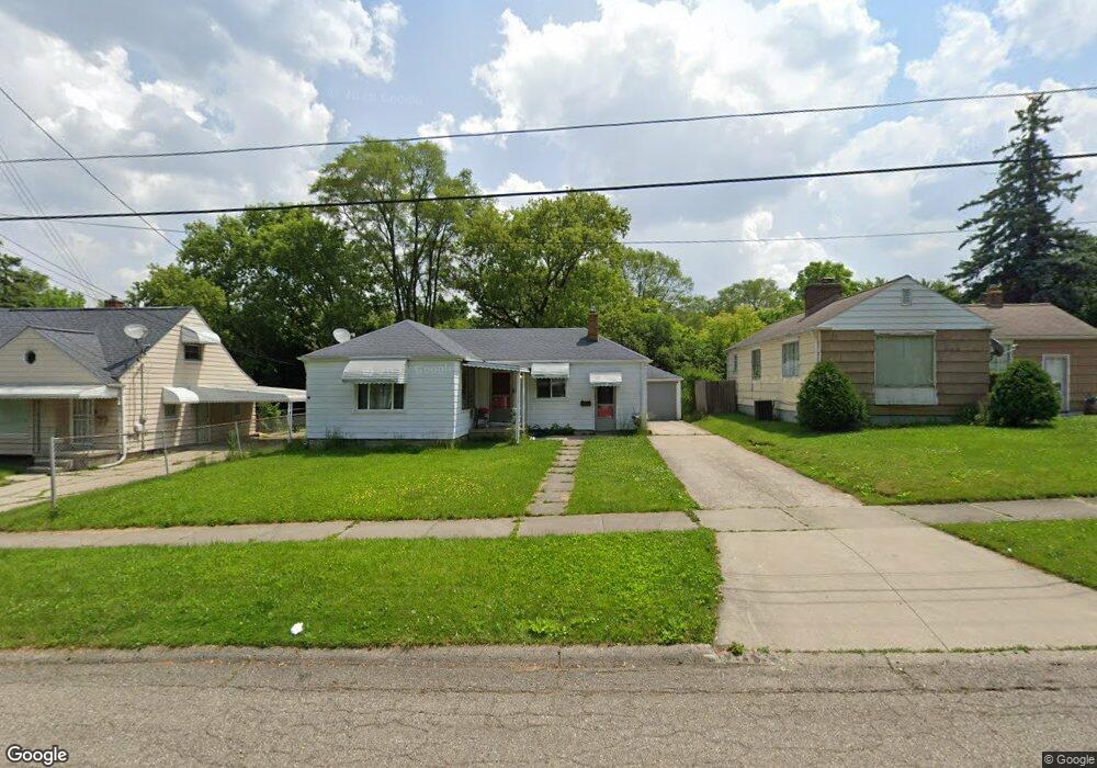
923 Hubbard Ave Flint, MI 48503
Mannhall Park NeighborhoodEstimated Value: $37,000 - $50,991
About This Home
This home is located at 923 Hubbard Ave, Flint, MI 48503 and is currently estimated at $45,998, approximately $46 per square foot. 923 Hubbard Ave is a home located in Genesee County with nearby schools including Durant-Tuuri-Mott Elementary School, St. Paul Lutheran School, and First Flint Seventh-day Adventist Christian School.
Ownership History
We collect this data history from publicly available records. To have your information removed, we recommend requesting removal directly through your county’s website.
Purchase Details
Purchase Details
Purchase Details
Home Financials for this Owner
Home Financials are based on the most recent Mortgage that was taken out on this home.Home Values in the Area
Average Home Value in this Area
Purchase History
We collect this data history from publicly available records. To have your information removed, we recommend requesting removal directly through your county’s website.
| Date | Buyer | Sale Price | Title Company |
|---|---|---|---|
| -- | None Available | ||
| -- | First American Title Ins Co | ||
| $55,000 | First American Title Ins Co |
Mortgage History
We collect this data history from publicly available records. To have your information removed, we recommend requesting removal directly through your county’s website.
| Date | Status | Borrower | Loan Amount |
|---|---|---|---|
| Previous Owner | $54,000 |
Tax History
We collect this data history from publicly available records. To have your information removed, we recommend requesting removal directly through your county’s website.
| Year | Tax Paid | Tax Assessment Tax Assessment Total Assessment is a certain percentage of the fair market value that is determined by local assessors to be the total taxable value of land and additions on the property. | Land | Improvement |
|---|---|---|---|---|
| 2025 | $1,135 | $22,100 | $0 | $0 |
| 2024 | $1,116 | $22,300 | $0 | $0 |
| 2023 | $1,090 | $19,600 | $0 | $0 |
| 2022 | $0 | $15,900 | $0 | $0 |
| 2021 | $1,105 | $13,600 | $0 | $0 |
| 2020 | $1,015 | $12,100 | $0 | $0 |
| 2019 | $992 | $11,200 | $0 | $0 |
| 2018 | $942 | $10,900 | $0 | $0 |
| 2017 | $918 | $0 | $0 | $0 |
| 2016 | $912 | $0 | $0 | $0 |
| 2015 | -- | $0 | $0 | $0 |
| 2014 | -- | $0 | $0 | $0 |
| 2012 | -- | $13,700 | $0 | $0 |
Map
- 936 Stocker Ave
- 801 Hubbard Ave
- 915 Stocker Ave
- 3301 Gratiot Ave
- 911 Hughes Ave
- 3623 Blackington Ave
- 1017 Stocker Ave
- 3905 Joyner St
- 3921 Joyner St
- 863 Tacken St
- 1122 Stocker Ave
- 870 Tacken St
- 3413 Augusta St
- 0000 Beecher Rd
- 2810 Gibson St
- 1008 Tacken St
- 2830 Corunna Rd
- 1308 Barney Ave
- 3307 Pencombe Place
- 3617 Sherwood Dr
- 924 Barney Ave
- 928 Barney Ave
- 918 Barney Ave
- 932 Barney Ave
- 917 Hubbard Ave
- 912 Barney Ave
- 929 Hubbard Ave
- 913 Hubbard Ave
- 933 Hubbard Ave
- 921 Barney Ave
- 929 Barney Ave
- 915 Barney Ave
- 902 Barney Ave
- 939 Hubbard Ave
- 933 Barney Ave
- 909 Barney Ave
- 901 Hubbard Ave
- 940 Barney Ave
- 937 Barney Ave
- 945 Hubbard Ave
Ask me questions while you tour the home.