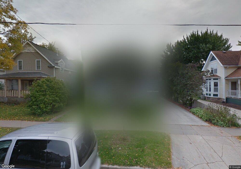
923 W Lorain St Appleton, WI 54914
West Appleton NeighborhoodEstimated Value: $275,000 - $355,000
3
Beds
2
Baths
2,300
Sq Ft
$134/Sq Ft
Est. Value
About This Home
This home is located at 923 W Lorain St, Appleton, WI 54914 and is currently estimated at $307,744, approximately $133 per square foot. 923 W Lorain St is a home located in Outagamie County with nearby schools including Ronald C. Dunlap Elementary School, Wilson Middle School, and Appleton West High School.
Ownership History
Date
Name
Owned For
Owner Type
Purchase Details
Closed on
Mar 30, 2020
Sold by
Dorsey Ezra D and Dorsey Ashley M
Bought by
Hersey Anna
Current Estimated Value
Purchase Details
Closed on
Apr 14, 2015
Sold by
Larsen David P
Bought by
Dorsey Ezra D and Dorsey Ashley M
Purchase Details
Closed on
Feb 26, 2015
Sold by
Larsen David P
Bought by
Larsen David P
Create a Home Valuation Report for This Property
The Home Valuation Report is an in-depth analysis detailing your home's value as well as a comparison with similar homes in the area
Home Values in the Area
Average Home Value in this Area
Purchase History
| Date | Buyer | Sale Price | Title Company |
|---|---|---|---|
| Hersey Anna | $214,200 | -- | |
| Dorsey Ezra D | $153,000 | -- | |
| Larsen David P | $150,000 | -- |
Source: Public Records
Tax History
| Year | Tax Paid | Tax Assessment Tax Assessment Total Assessment is a certain percentage of the fair market value that is determined by local assessors to be the total taxable value of land and additions on the property. | Land | Improvement |
|---|---|---|---|---|
| 2024 | $3,757 | $259,600 | $28,600 | $231,000 |
| 2023 | $3,941 | $259,600 | $28,600 | $231,000 |
| 2022 | $3,561 | $174,600 | $23,300 | $151,300 |
| 2021 | $3,395 | $174,600 | $23,300 | $151,300 |
| 2020 | $3,279 | $169,300 | $23,300 | $146,000 |
| 2019 | $3,178 | $169,300 | $23,300 | $146,000 |
| 2018 | $2,867 | $134,400 | $21,000 | $113,400 |
| 2017 | $2,856 | $134,400 | $21,000 | $113,400 |
| 2016 | $2,804 | $134,400 | $21,000 | $113,400 |
| 2015 | $2,929 | $134,400 | $21,000 | $113,400 |
| 2014 | $2,825 | $134,400 | $21,000 | $113,400 |
| 2013 | $2,833 | $134,400 | $18,000 | $116,400 |
Source: Public Records
Map
Nearby Homes
- 923 W Elsie St
- 731 W Elsie St
- 823 W Oklahoma St
- 727 N Bennett St
- 1019 W Oklahoma St
- 1702 S Perkins St
- 1606 S Carver Ln
- 730 W Oklahoma St
- 400 N Richmond St Unit 328
- 400 N Richmond St Unit 417
- 721 W Commercial St
- 303 N Outagamie St
- 736 W 8th St
- 501 W Winnebago St
- 739 W 8th St
- 913 N Harriman St
- 726 W Summer St
- 614 W 6th St
- 1315 W Summer St
- 913 W 5th St
- 917 W Lorain St
- 907 W Lorain St
- 927 W Lorain St
- 931 W Lorain St
- 913 W Lorain St
- 903 W Lorain St
- 916 W Lorain St
- 930 W Lorain St
- 926 W Lorain St
- 922 W Lorain St
- 906 W Lorain St
- 912 W Lorain St
- 902 W Lorain St
- 902 W Packard St
- 516 N Bennett St
- 930 W Packard St
- 926 W Packard St
- 922 W Packard St
- 916 W Packard St
- 513 N Bennett St
Your Personal Tour Guide
Ask me questions while you tour the home.