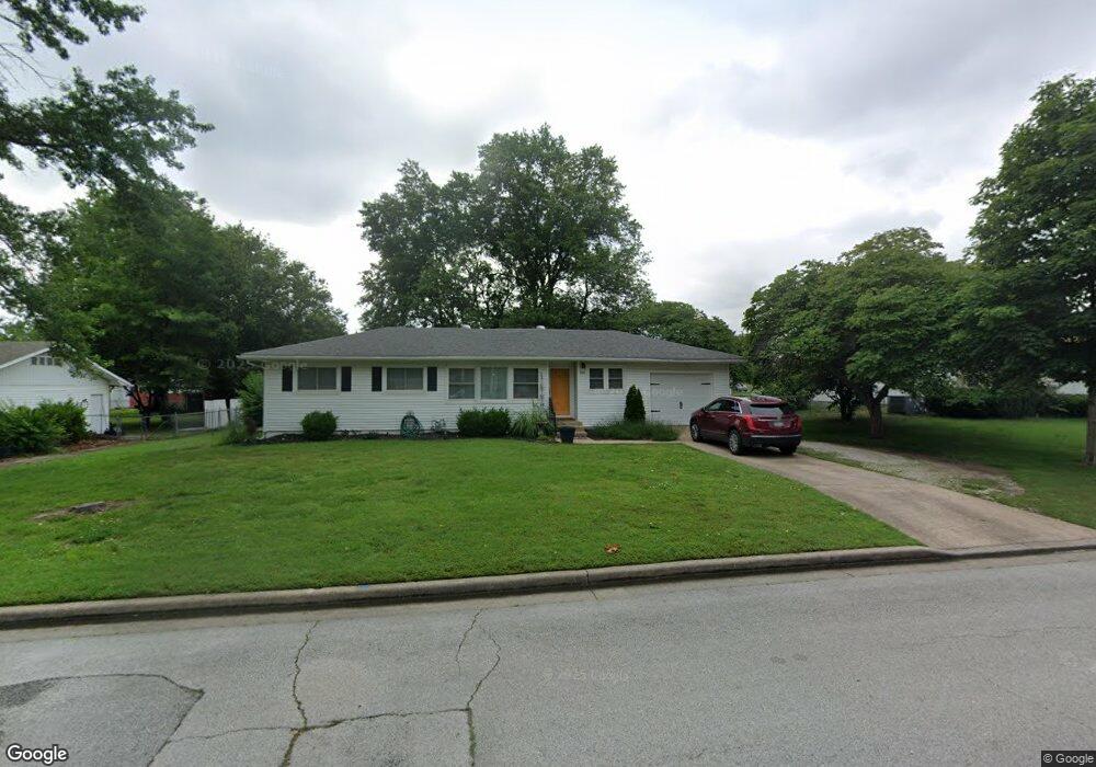
923 Wendy Ln Carthage, MO 64836
Estimated Value: $152,000 - $176,000
3
Beds
1
Bath
1,096
Sq Ft
$151/Sq Ft
Est. Value
About This Home
This home is located at 923 Wendy Ln, Carthage, MO 64836 and is currently estimated at $165,191, approximately $150 per square foot. 923 Wendy Ln is a home located in Jasper County with nearby schools including Carthage High School, St. Ann's Catholic School, and Victory Academy.
Ownership History
Date
Name
Owned For
Owner Type
Purchase Details
Closed on
Nov 20, 2018
Sold by
Brown Philip K and Brown Shron R
Bought by
Nichols Joshua D and Nichols Carla M
Current Estimated Value
Home Financials for this Owner
Home Financials are based on the most recent Mortgage that was taken out on this home.
Original Mortgage
$89,000
Outstanding Balance
$77,453
Interest Rate
4.8%
Mortgage Type
New Conventional
Estimated Equity
$87,738
Purchase Details
Closed on
Apr 12, 2018
Sold by
Koch Dionis A and Koch Robert A
Bought by
Brown Philip K and Brown Sharon R
Create a Home Valuation Report for This Property
The Home Valuation Report is an in-depth analysis detailing your home's value as well as a comparison with similar homes in the area
Home Values in the Area
Average Home Value in this Area
Purchase History
| Date | Buyer | Sale Price | Title Company |
|---|---|---|---|
| Nichols Joshua D | -- | -- | |
| Brown Philip K | -- | -- |
Source: Public Records
Mortgage History
| Date | Status | Borrower | Loan Amount |
|---|---|---|---|
| Open | Nichols Joshua D | $89,000 |
Source: Public Records
Tax History
| Year | Tax Paid | Tax Assessment Tax Assessment Total Assessment is a certain percentage of the fair market value that is determined by local assessors to be the total taxable value of land and additions on the property. | Land | Improvement |
|---|---|---|---|---|
| 2025 | $722 | $15,410 | $4,450 | $10,960 |
| 2024 | $722 | $14,020 | $4,450 | $9,570 |
| 2023 | $722 | $14,020 | $4,450 | $9,570 |
| 2022 | $708 | $13,810 | $4,450 | $9,360 |
| 2021 | $701 | $13,810 | $4,450 | $9,360 |
| 2020 | $686 | $12,960 | $4,450 | $8,510 |
| 2019 | $687 | $12,960 | $4,450 | $8,510 |
| 2018 | $591 | $11,170 | $0 | $0 |
| 2017 | $593 | $11,170 | $0 | $0 |
| 2016 | $591 | $11,170 | $0 | $0 |
| 2015 | $546 | $11,170 | $0 | $0 |
| 2014 | $546 | $11,170 | $0 | $0 |
Source: Public Records
Map
Nearby Homes
- 905 Durward Hall Dr
- 2203 Modern Ave
- 2110 Pearl St
- 1910 Wynwood Dr
- 2206 Benjamin Dr
- 000 Lexie Ln
- TBD Lexie Ln
- 2032 Alison St
- 2515 S River St
- 1328 Hafner Ct
- 1910 Buena Vista Ave
- 1929 Bluebird Way
- 1315 Skyline Dr
- 1131 Belle Air Place
- TBD George E Phelps Blvd
- XXXX Clinton
- 1814 Buena Vista Ave
- Tbd Pacific Highlands
- 911 Euclid Blvd
- 1647 Glenwood Place
Your Personal Tour Guide
Ask me questions while you tour the home.