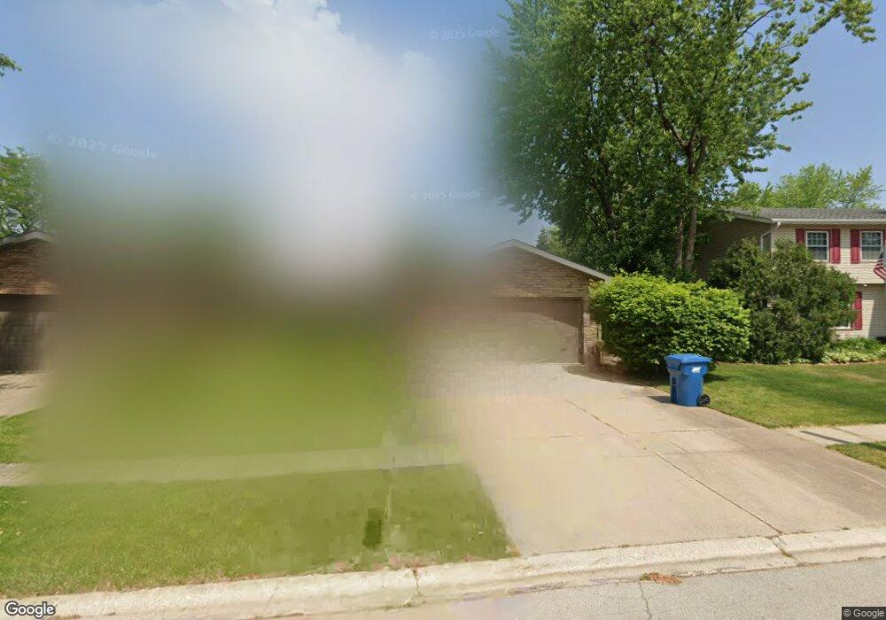
925 Edwin Dr Bourbonnais, IL 60914
Estimated Value: $165,753 - $252,000
About This Home
This home is located at 925 Edwin Dr, Bourbonnais, IL 60914 and is currently estimated at $205,188. 925 Edwin Dr is a home located in Kankakee County with nearby schools including Shabbona Elementary School, Liberty Intermediate School, and Bourbonnais Upper Grade Center.
Ownership History
We collect this data history from publicly available records. To have your information removed, we recommend requesting removal directly through your county’s website.
Purchase Details
Home Values in the Area
Average Home Value in this Area
Purchase History
We collect this data history from publicly available records. To have your information removed, we recommend requesting removal directly through your county’s website.
| Date | Buyer | Sale Price | Title Company |
|---|---|---|---|
| -- | Kankakee Cnty Title & Tr |
Mortgage History
We collect this data history from publicly available records. To have your information removed, we recommend requesting removal directly through your county’s website.
| Date | Status | Borrower | Loan Amount |
|---|---|---|---|
| Closed | $60,000 |
Tax History
We collect this data history from publicly available records. To have your information removed, we recommend requesting removal directly through your county’s website.
| Year | Tax Paid | Tax Assessment Tax Assessment Total Assessment is a certain percentage of the fair market value that is determined by local assessors to be the total taxable value of land and additions on the property. | Land | Improvement |
|---|---|---|---|---|
| 2025 | $3,476 | $50,851 | $6,853 | $43,998 |
| 2024 | $3,476 | $47,973 | $6,465 | $41,508 |
| 2023 | $3,161 | $44,419 | $5,986 | $38,433 |
| 2022 | $2,928 | $40,161 | $5,770 | $34,391 |
| 2021 | $2,870 | $39,277 | $5,643 | $33,634 |
| 2020 | $2,751 | $37,273 | $5,492 | $31,781 |
| 2019 | $2,508 | $34,213 | $5,332 | $28,881 |
| 2018 | $2,471 | $33,707 | $5,253 | $28,454 |
| 2017 | $2,413 | $32,885 | $5,125 | $27,760 |
| 2016 | $2,415 | $32,957 | $5,049 | $27,908 |
| 2015 | $2,203 | $30,287 | $2,536 | $27,751 |
| 2014 | $1,899 | $27,795 | $2,536 | $25,259 |
| 2013 | -- | $30,287 | $2,536 | $27,751 |
Map
- 901 Edwin Dr
- 695 Cherokee Dr
- 226 Meadows Rd S
- 357 Princeton Ave
- 899 Armour Rd
- 889 Armour Rd
- 1325 N Arthur Burch Dr Unit B10
- 1325 N Arthur Burch Dr Unit C10
- Lot 5 Larry Power Rd
- 260 W Country Ct
- 376 Belle Aire Ave
- 3 Duncan Dr
- 740 Burns Ct
- 213 Belle Aire Ave
- 28 Jordan Dr
- 1602 Sun Ridge Dr
- 1650 Jennifer Dr
- 51 Duncan Dr
- 1331 Potomac Place
- 172 Anita Dr
Ask me questions while you tour the home.