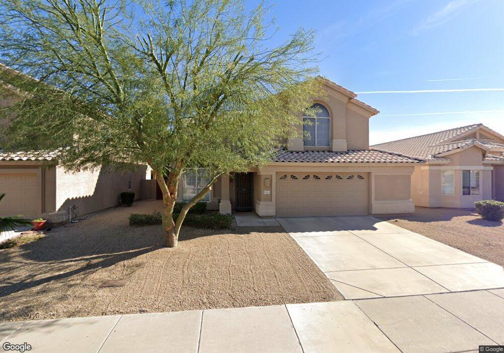
9265 E Pershing Ave Scottsdale, AZ 85260
Horizons NeighborhoodEstimated Value: $663,859 - $796,000
Studio
3
Baths
2,119
Sq Ft
$355/Sq Ft
Est. Value
About This Home
This home is located at 9265 E Pershing Ave, Scottsdale, AZ 85260 and is currently estimated at $751,715, approximately $354 per square foot. 9265 E Pershing Ave is a home located in Maricopa County with nearby schools including Redfield Elementary School, Desert Canyon Middle School, and Desert Mountain High School.
Ownership History
Date
Name
Owned For
Owner Type
Purchase Details
Closed on
Aug 7, 2015
Sold by
Weser James R and Solem Weser Pamela
Bought by
The Weser Family Trust
Current Estimated Value
Create a Home Valuation Report for This Property
The Home Valuation Report is an in-depth analysis detailing your home's value as well as a comparison with similar homes in the area
Home Values in the Area
Average Home Value in this Area
Purchase History
| Date | Buyer | Sale Price | Title Company |
|---|---|---|---|
| The Weser Family Trust | -- | None Available |
Source: Public Records
Tax History
| Year | Tax Paid | Tax Assessment Tax Assessment Total Assessment is a certain percentage of the fair market value that is determined by local assessors to be the total taxable value of land and additions on the property. | Land | Improvement |
|---|---|---|---|---|
| 2025 | $2,495 | $41,804 | -- | -- |
| 2024 | $2,342 | $39,813 | -- | -- |
| 2023 | $2,342 | $52,370 | $10,470 | $41,900 |
| 2022 | $2,229 | $41,220 | $8,240 | $32,980 |
| 2021 | $2,416 | $38,010 | $7,600 | $30,410 |
| 2020 | $2,395 | $36,070 | $7,210 | $28,860 |
| 2019 | $2,322 | $34,480 | $6,890 | $27,590 |
| 2018 | $2,271 | $33,130 | $6,620 | $26,510 |
| 2017 | $2,143 | $33,200 | $6,640 | $26,560 |
| 2016 | $2,088 | $31,760 | $6,350 | $25,410 |
| 2015 | $2,019 | $29,960 | $5,990 | $23,970 |
Source: Public Records
Map
Nearby Homes
- 9231 E Dreyfus Place
- 9284 E Aster Dr
- 9117 E Captain Dreyfus Ave
- 13067 N 94th Place Unit 95
- 13293 N 94th Place
- 9063 E Aster Dr
- 9438 E Camino Del Santo
- 9432 E Voltaire Dr
- 9106 E Voltaire Dr
- 9032 E Sutton Dr
- 13693 N 93rd Way
- 9502 E Presidio Rd
- 13190 N 90th Place
- 12770 N 90th Way
- 13121 N 89th Way
- 8966 E Captain Dreyfus Ave
- 8995 E Aster Dr
- 14346 E Davenport Dr Unit 7
- 14373 E Davenport Dr Unit 2
- 14312 E Davenport Dr Unit 6
- 9273 E Pershing Ave
- 9257 E Pershing Ave
- 9249 E Pershing Ave
- 9281 E Pershing Ave
- 9270 E Wood Dr
- 9278 E Wood Dr
- 9262 E Wood Dr
- 9286 E Wood Dr
- 9254 E Wood Dr
- 9241 E Pershing Ave
- 9266 E Pershing Ave
- 9289 E Pershing Ave
- 9274 E Pershing Ave
- 9258 E Pershing Ave
- 9294 E Wood Dr
- 9282 E Pershing Ave
- 9250 E Pershing Ave
- 9246 E Wood Dr
- 9233 E Pershing Ave
- 9290 E Pershing Ave
Your Personal Tour Guide
Ask me questions while you tour the home.