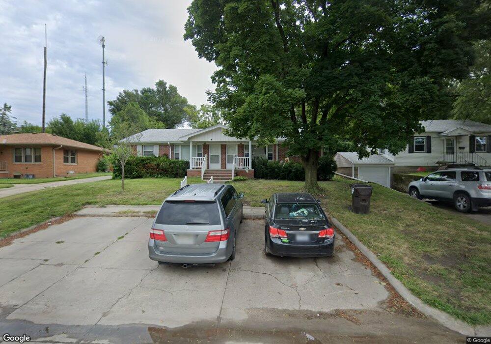
928 N Main St West Point, NE 68788
Estimated Value: $184,609 - $239,000
2
Beds
2
Baths
936
Sq Ft
$228/Sq Ft
Est. Value
About This Home
This home is located at 928 N Main St, West Point, NE 68788 and is currently estimated at $213,652, approximately $228 per square foot. 928 N Main St is a home located in Cuming County with nearby schools including West Point-Beemer Junior/Senior High School, Guardian Angels Elementary School, and St. Paul Lutheran School.
Ownership History
Date
Name
Owned For
Owner Type
Purchase Details
Closed on
Jul 28, 2021
Sold by
Saner Terrance V and Saner Ruth Ann
Bought by
Klitz Hannah L and Klitz Eric J
Current Estimated Value
Home Financials for this Owner
Home Financials are based on the most recent Mortgage that was taken out on this home.
Original Mortgage
$114,375
Outstanding Balance
$103,327
Interest Rate
2.9%
Mortgage Type
Purchase Money Mortgage
Estimated Equity
$110,326
Purchase Details
Closed on
Jul 3, 2013
Sold by
Meyer Eileen A
Bought by
Saner Terrance and Saner Ruth Ann
Create a Home Valuation Report for This Property
The Home Valuation Report is an in-depth analysis detailing your home's value as well as a comparison with similar homes in the area
Home Values in the Area
Average Home Value in this Area
Purchase History
| Date | Buyer | Sale Price | Title Company |
|---|---|---|---|
| Klitz Hannah L | $152,500 | None Available | |
| Saner Terrance | -- | None Available |
Source: Public Records
Mortgage History
| Date | Status | Borrower | Loan Amount |
|---|---|---|---|
| Open | Klitz Hannah L | $114,375 |
Source: Public Records
Tax History
| Year | Tax Paid | Tax Assessment Tax Assessment Total Assessment is a certain percentage of the fair market value that is determined by local assessors to be the total taxable value of land and additions on the property. | Land | Improvement |
|---|---|---|---|---|
| 2025 | $1,721 | $226,945 | $17,525 | $209,420 |
| 2024 | $1,847 | $216,880 | $17,525 | $199,355 |
| 2023 | $2,334 | $202,275 | $15,485 | $186,790 |
| 2022 | $2,375 | $187,715 | $12,225 | $175,490 |
| 2021 | $2,302 | $172,765 | $10,190 | $162,575 |
| 2020 | $2,302 | $172,325 | $9,750 | $162,575 |
| 2019 | $1,979 | $144,835 | $9,750 | $135,085 |
| 2018 | $1,874 | $136,565 | $9,750 | $126,815 |
| 2017 | $1,916 | $136,565 | $9,750 | $126,815 |
| 2016 | $1,760 | $121,830 | $9,750 | $112,080 |
| 2015 | $1,873 | $121,830 | $9,750 | $112,080 |
| 2014 | $2,441 | $122,320 | $9,750 | $112,570 |
| 2013 | $2,441 | $122,320 | $9,750 | $112,570 |
Source: Public Records
Map
Nearby Homes
- 130 W Neligh St
- 1301 N Mill St
- 101 S Main St
- 1402 E Bridge St
- 326 S Maple St
- 420 S Farragut St
- 205 E Sheridan St
- 925 E Grove St
- 820 E Sherman St
- 1559 S Lincoln St
- 2297 Hwy 275
- 409 Frasier St
- 1225 Co Road 1
- 237 A Rd
- TBD Oakland
- 134 N Linden St
- 314 W 2nd St
- 312 N Cedar St
- 521 N Logan Ave
- 328 N Oakland Ave
Your Personal Tour Guide
Ask me questions while you tour the home.